MyTopo
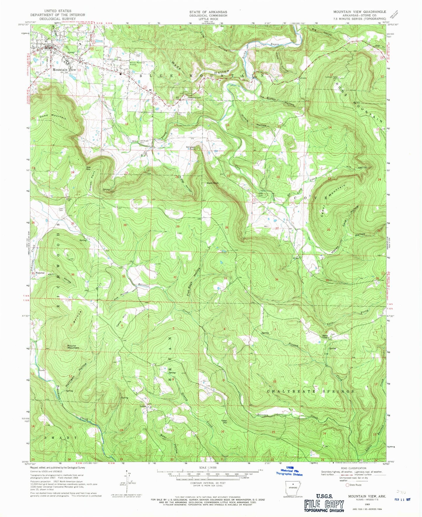
Classic USGS Mountain View Arkansas 7.5'x7.5' Topo Map
Couldn't load pickup availability
Historical USGS topographic quad map of Mountain View in the state of Arkansas. Map scale may vary for some years, but is generally around 1:24,000. Print size is approximately 24" x 27"
This quadrangle is in the following counties: Stone.
The map contains contour lines, roads, rivers, towns, and lakes. Printed on high-quality waterproof paper with UV fade-resistant inks, and shipped rolled.
Contains the following named places: Big Gum Hollow, Big Hollow, Case Cemetery, Case Church, Cave Hollow, Cedar Mountain, City of Mountain View, Clark Hollow, Cooper Point, Cove Cemetery, Cove Prong, Dodd Mountain, Dodd Mountain Fire Department Station 1, Dodd Mountain Fire Department Station 2, Flat Rock Hollow, Flatwoods Cemetery, Hanes Hollow, Hanover, Harrigan Hollow, Hill Hollow, Hinkle Hollow, Holt Hollow, Hub Hollow, Ike Brown Hollow, Irons Mountain, Kemp Hill, Little Raccoon Creek, Luber, Lute Hollow, Mill Prong, Mountain View, Mountain View Elementary School, Mountain View Fire Department City Hall Station, Mountain View Fire Department East End Station, Mountain View High School, Mountain View Police Department, Mountain View Post Office, Mountain View Wilcox Memorial Field, Norkes Chapel, North Corn Creek, Possum Creek, Prince Hill, Ripley Hollow, Round Mountain, Simpson Point, Stack Rock, Star Gap, Stone County Courthouse, Stone County Medical Center, Stone County Medical Center Heliport, Tater Hill, Township of Blue Mountain, Township of Bryan, Township of Chalybeate Springs, Township of Cove, Vital Link - Mountain View, Wade Hollow, Whitefield Cemetery, ZIP Code: 72560


