MyTopo
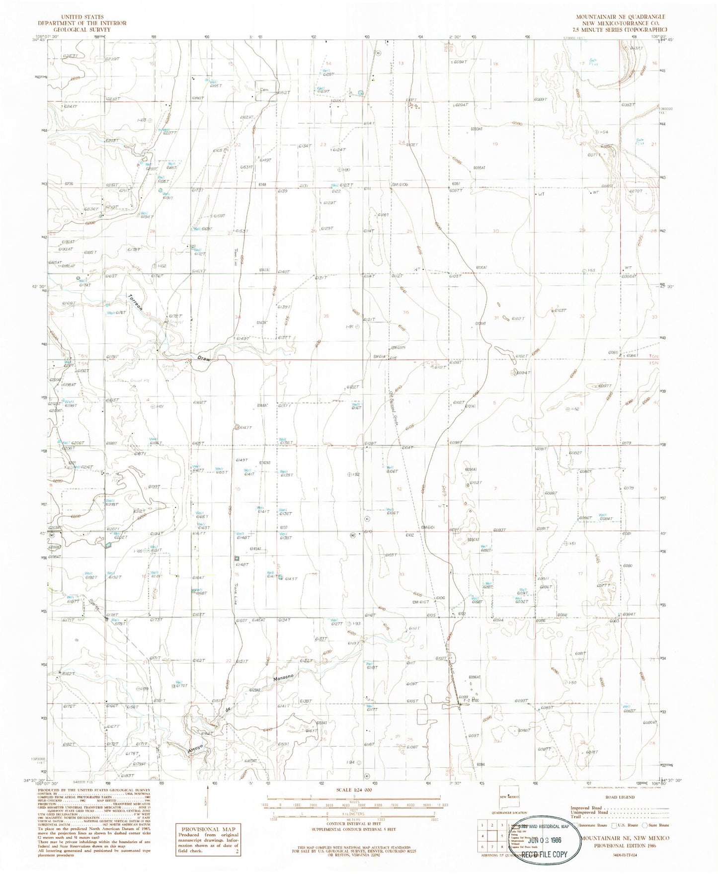
Classic USGS Mountainair NE New Mexico 7.5'x7.5' Topo Map
Couldn't load pickup availability
Historical USGS topographic quad map of Mountainair NE in the state of New Mexico. Map scale may vary for some years, but is generally around 1:24,000. Print size is approximately 24" x 27"
This quadrangle is in the following counties: Torrance.
The map contains contour lines, roads, rivers, towns, and lakes. Printed on high-quality waterproof paper with UV fade-resistant inks, and shipped rolled.
Contains the following named places: 100002 Water Well, 10027 Water Well, 10033 Water Well, 10036 Water Well, 10038 Water Well, 10042 Water Well, 10043 Water Well, 10044 Water Well, 10045 Water Well, 10047 Water Well, 10048 Water Well, 10051 Water Well, 10064 Water Well, 10066 Water Well, 10074 Water Well, 10075 Water Well, 10099 Water Well, Arroyo de Manzano, Berkshire Windmill, Estancia Cemetery, Estancita Spring, Moe Ranch, Spruill Ranch, Torreon Draw, Water Well Number 2