MyTopo
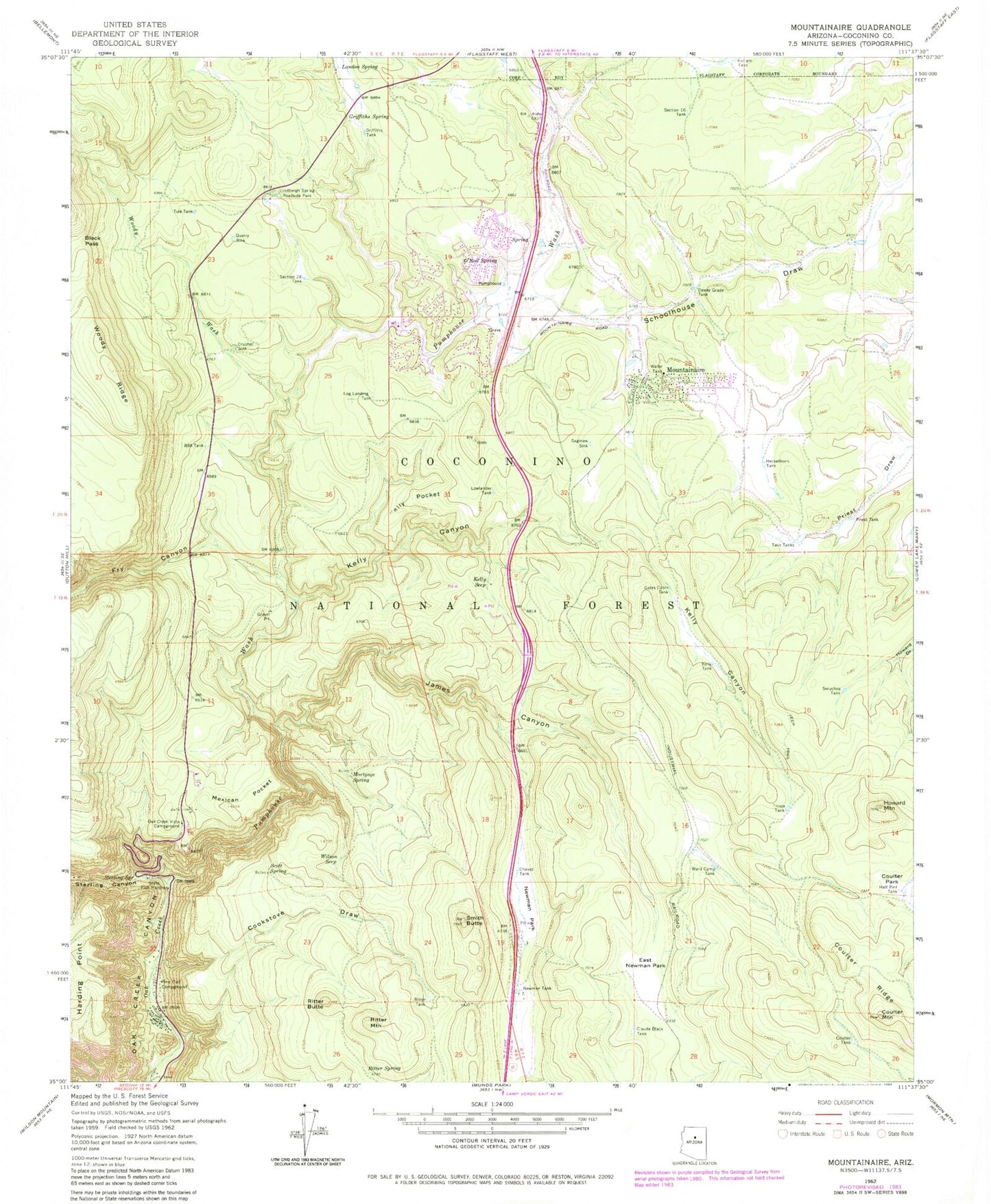
Classic USGS Mountainaire Arizona 7.5'x7.5' Topo Map
Couldn't load pickup availability
Historical USGS topographic quad map of Mountainaire in the state of Arizona. Typical map scale is 1:24,000, but may vary for certain years, if available. Print size: 24" x 27"
This quadrangle is in the following counties: Coconino.
The map contains contour lines, roads, rivers, towns, and lakes. Printed on high-quality waterproof paper with UV fade-resistant inks, and shipped rolled.
Contains the following named places: Black Pass, Chavez Tank, Claude Black Tank, Cookstove Draw, Coulter Mountain, Coulter Park Tank, Coulter Tank, Crusher Sink, Dewey Grade Tank, East Newman Park, Eightynine A Tank, Fry Canyon, Gates Cabin Tank, Griffiths Spring, Griffiths Tank, Half Pint Tank, Heckethorn Tank, Howard Mountain, James Canyon, Kelly Canyon, Kelly Pocket, Kelly Seep, Landon Spring, Lindbergh Spring Roadside Park, Log Landing Tank, Lowlander Tank, Mexican Pocket, Mortgage Spring, Mountainaire, Newman Park, Newman Tank, O'Neil Spring, Oak Creek Vista Campground, Pine Flat Campground, Priest Tank, Pumphouse Wash, Quarry Sink, Ritter Butte, Ritter Mountain, Ritter Spring, Ritter Tank, Saginaw Sink, Schoolhouse Draw, Scott Spring, Section Sixteen Tank, Section Twentyfour Tank, Seruchos Tank, Smith Butte, Sterling Canyon, Sterling Spring, Tinaja Tank, Tule Tank, Twin Tanks, Ward Camp Tank, Wilson Seep, Woody Wash, Kelly Tank, Limbergh Spring, Raymond Park, Wilson Tank, Oak Creek Vista, Kachina Village, Mortgage Tank, Smith Butte Tank, Butte Tank, Freeway Tank, Ritter Butte Tank, Scott Tank, Oat Tank, James Tank, Point Tank, Kachina Village Census Designated Place, Mountainaire Census Designated Place, Forest Highlands Golf Club, Highlands Fire District Headquarters Station 21, Highlands Fire District Station 22 Bear Jaw Fire and Fuels Module, Highlands Fire District Station 23 Mountainaire, Highlands Fire District Station 25 Forest Highlands


