MyTopo
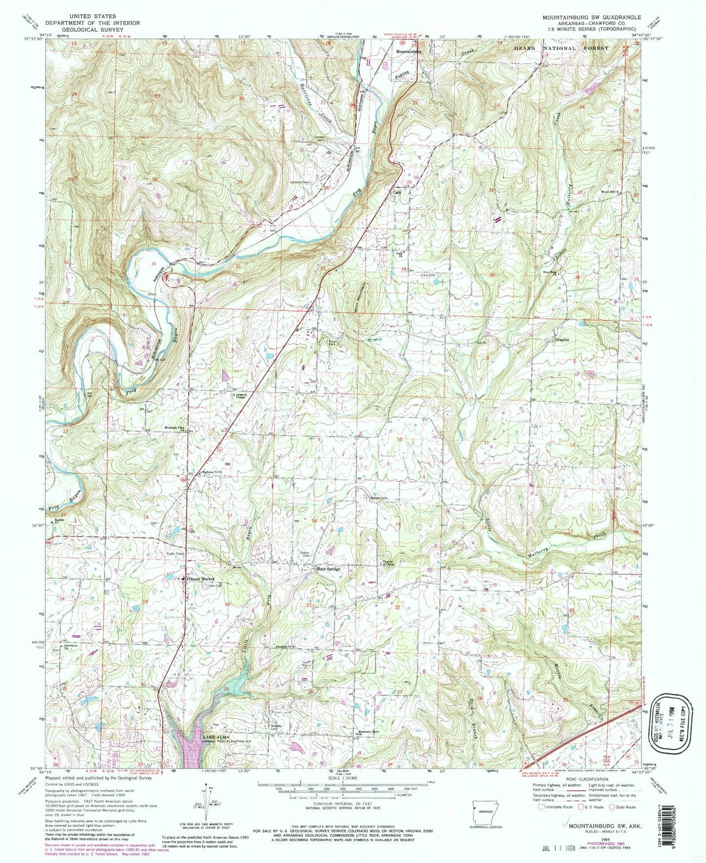
Classic USGS Mountainburg SW Arkansas 7.5'x7.5' Topo Map
Couldn't load pickup availability
Historical USGS topographic quad map of Mountainburg SW in the state of Arkansas. Map scale may vary for some years, but is generally around 1:24,000. Print size is approximately 24" x 27"
This quadrangle is in the following counties: Crawford.
The map contains contour lines, roads, rivers, towns, and lakes. Printed on high-quality waterproof paper with UV fade-resistant inks, and shipped rolled.
Contains the following named places: Belmont, Bolton Cemetery, Bond Special - Dean Springs - Rudy District 1 Dean Springs Fire Station, Bonita Hollow, Cain, Cain Cemetery, Cain Church, Church of Christ, Conley Cemetery, Crawford County, Crawford County Rural Fire District 3 Graphic, Dean Springs, Deans Cemetery, Deans Market, Fine Springs, Fine Springs Baptist Church, Freedom Church, Graphic, Gregory Cemetery, Gregory Chapel, Hammond Lake, Hammond Lake Dam, Hatfield Cemetery, Highway 71 Church, Hurricane Creek, Lake Alma, Lancaster, Love Cemetery, Morris Lake, Morris Lake Dam, Mountain Grove Church, Mountain View Church, New Hope Church, Newberry Cemetery, Newberry Church, Peters Cemetery, Pigeon Creek, Revis Hill Assembly of God Church, Town of Rudy, Township of Dean Springs, Township of Lafayette, Township of Lancaster, Township of Mountain, Township of Mountainburg, Township of Rudy, Winn Mountain, Wynn Graveyard