MyTopo
Classic USGS Mountainburg Arkansas 7.5'x7.5' Topo Map
Couldn't load pickup availability
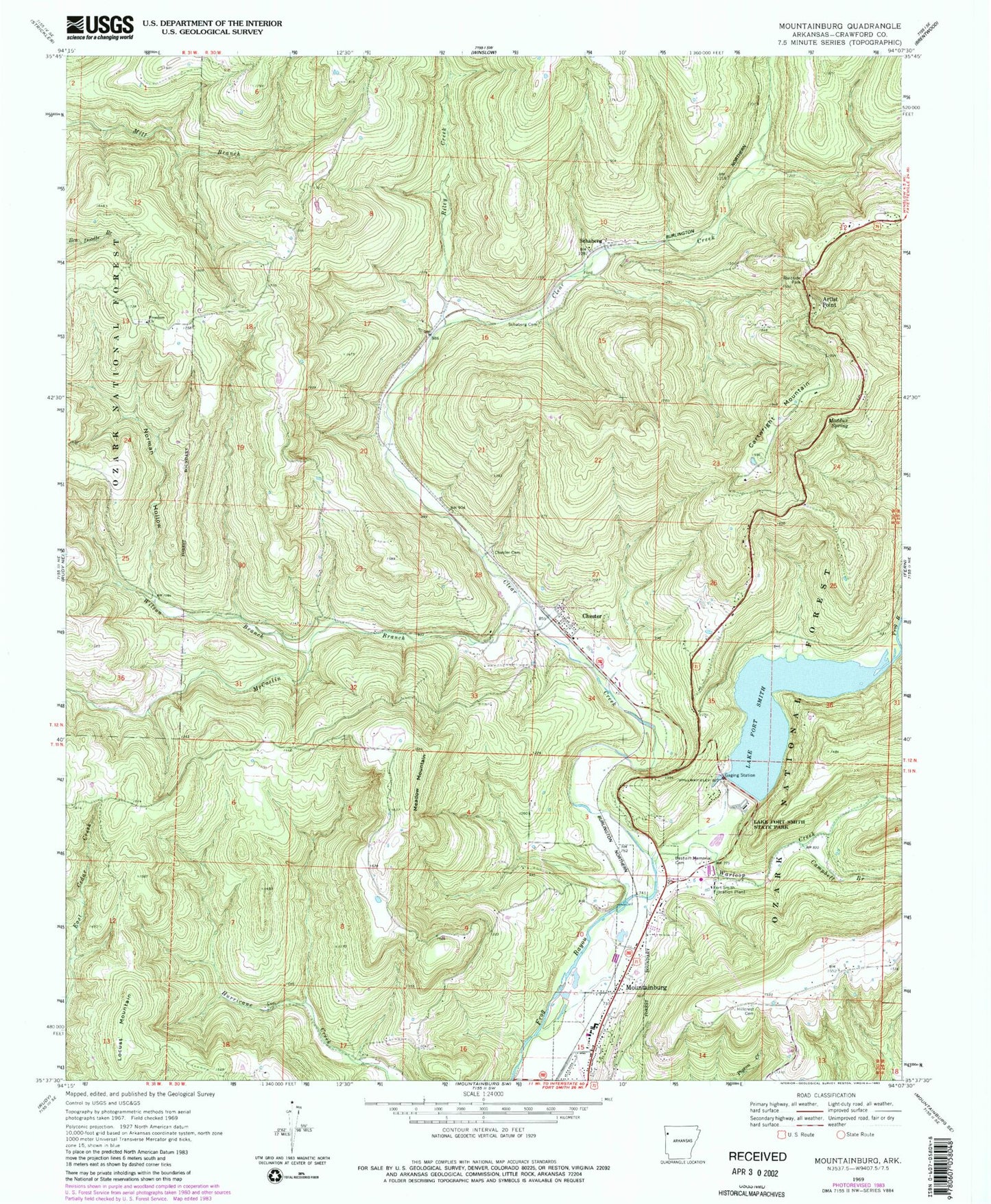
Historical USGS topographic quad map of Mountainburg in the state of Arkansas. Map scale may vary for some years, but is generally around 1:24,000. Print size is approximately 24" x 27"
This quadrangle is in the following counties: Crawford.
The map contains contour lines, roads, rivers, towns, and lakes. Printed on high-quality waterproof paper with UV fade-resistant inks, and shipped rolled.
Contains the following named places: Armada, Artist Point, Basham Memorial Cemetery, Campbell Branch, Cartwright Mountain, Chester, Chester Cemetery, Chester Post Office, City of Mountainburg, Clear Creek, Crawford County Rural Fire District 3, Fort Smith Filtration Plant, Freedom Church, Hillcrest Cemetery, KPOM-TV (Fort Smith), Lake Fort Smith, Lake Fort Smith Dam, Lake Fort Smith State Park, Lake Shepherd Springs, Locust Mountain, Maddux Spring, McCaslin Branch, Meadow Mountain, Mountainburg, Mountainburg Elementary School, Mountainburg Fire Department, Mountainburg High School, Mountainburg Middle School, Mountainburg Police Department, Mountainburg Post Office, Mountainburg Shelter, Norman Hollow, Riley Creek, Schaberg, Schaberg Cemetery, Town of Chester, Township of Chester, Township of Porter, Warloop Creek, Wilson Branch, ZIP Code: 72946