MyTopo
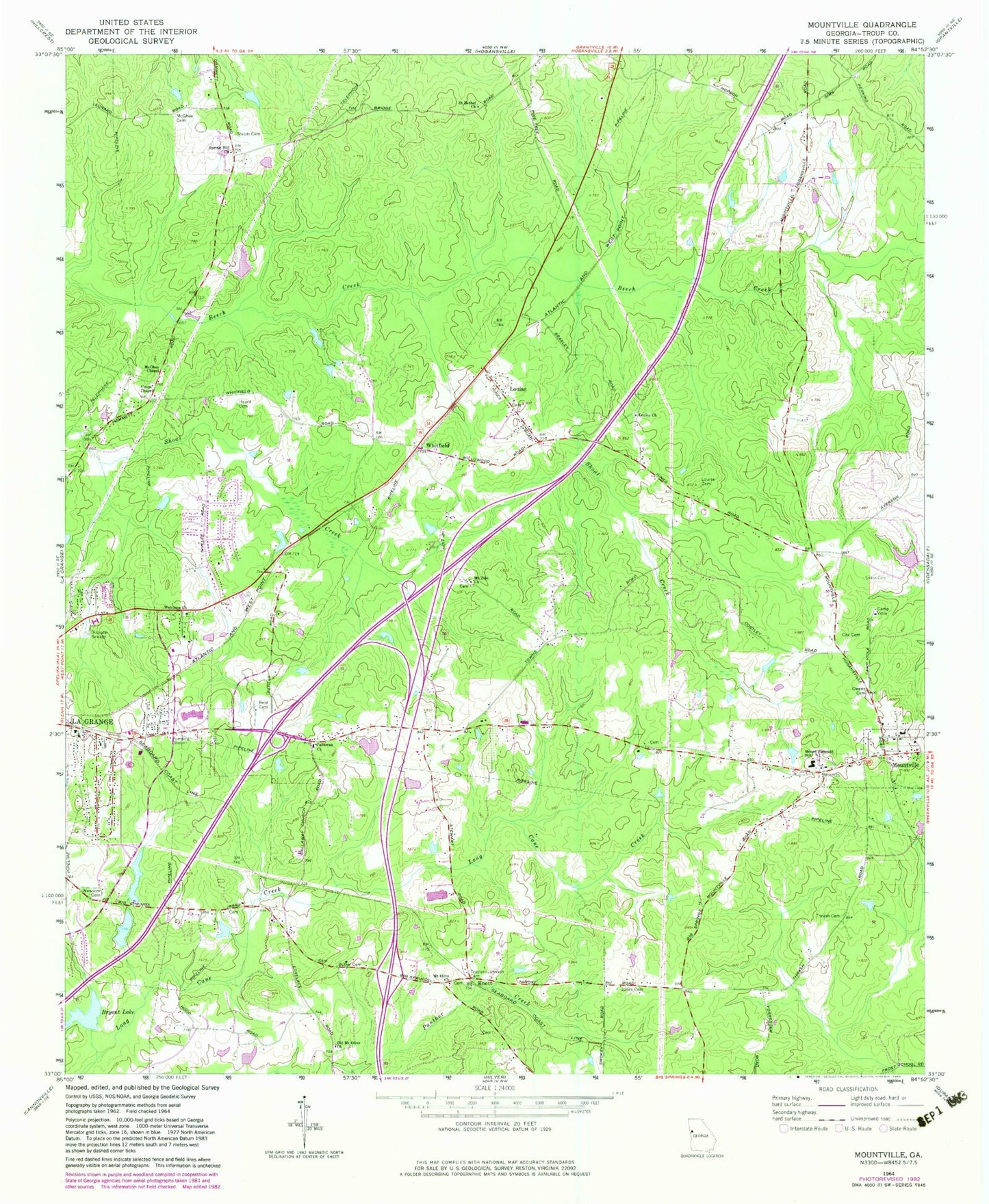
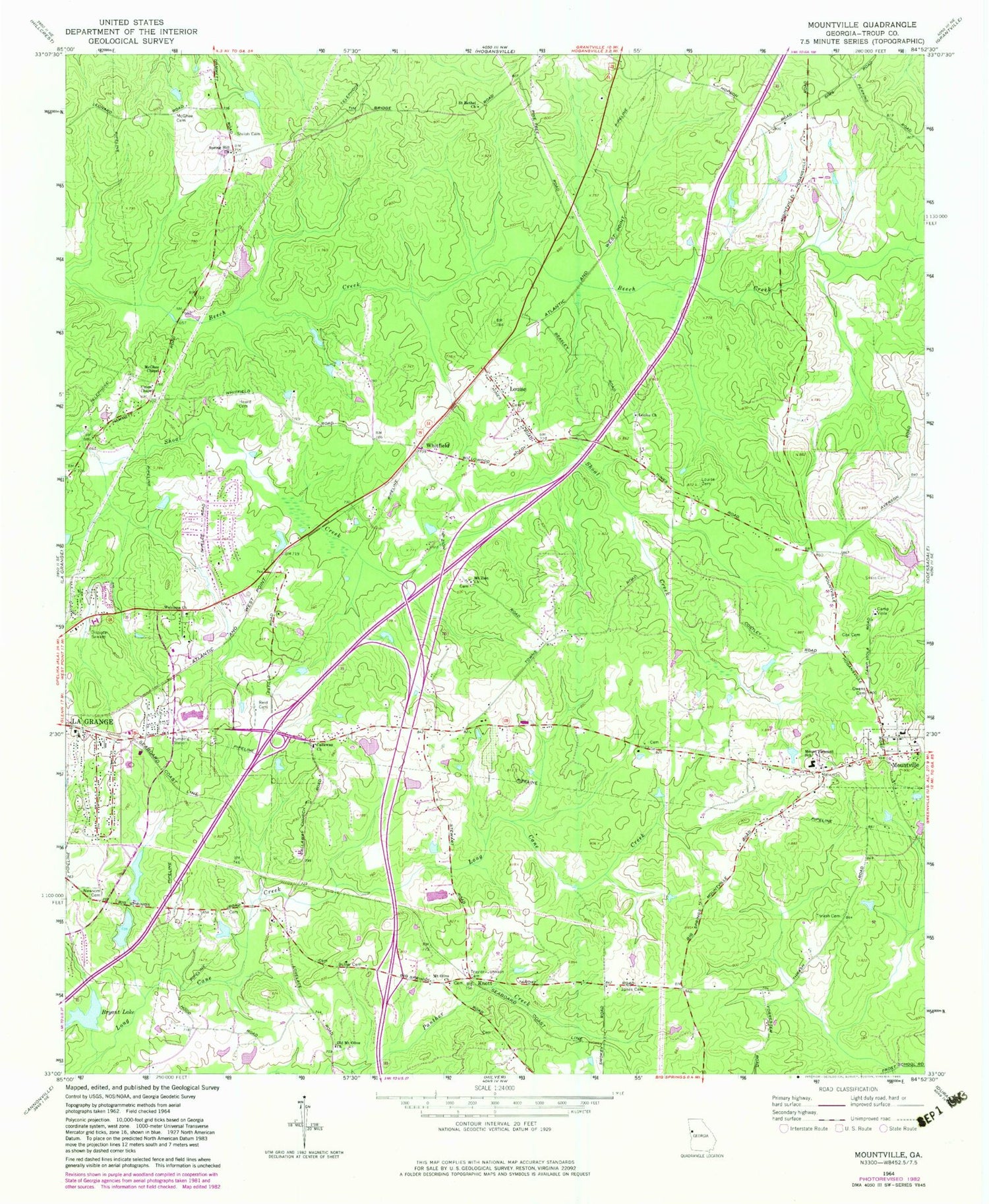
Classic USGS Mountville Georgia 7.5'x7.5' Topo Map
Couldn't load pickup availability
Historical USGS topographic quad map of Mountville in the state of Georgia. Map scale may vary for some years, but is generally around 1:24,000. Print size is approximately 24" x 27"
This quadrangle is in the following counties: Troup.
The map contains contour lines, roads, rivers, towns, and lakes. Printed on high-quality waterproof paper with UV fade-resistant inks, and shipped rolled.
Contains the following named places: Bryant Dam, Bryant Lake, Butler Cemetery, Callaway Chapel Missionary Baptist Church, Callaway Elementary School, Callaway High School, Callaway Middle School, Camp Viola, Clinton Chapel School, Cox Cemetery, Days Lake, Days Lake Dam, Evans Cemetery, Gardner Newman Middle School, Georgia State Patrol Troop D Post 2 LaGrange, Hanks Lake, Hanks Lake Dam, Heard Cemetery, Hickory Grove School, Jones Cemetery, Knott, Lagrange Fire Department Station 1, LaGrange Seventh Day Adventist School, LaGrange Transitional Center, Lake Forest, Lasater Dam, Lasater Lake, Louise, Louise Cemetery, Louise Church, Mallory Dam, Mallory Lake, McGhee Chapel, Mount Olive Church, Mount Pleasant School, Mount Zion Church, Mountville, Mountville Elementary School, Mountville Fire Station, New Mount Olive Missionary Baptist Church Cemetery, Newberry Lake, Newberry Lake Dam, Newsom Cemetery, Old Mount Olive Church, Owens Cemetery, Reid Cemetery, Ridley Dam, Ridley Lake, Saint Bethel Church, Shilolt Cemetery, Spring Hill Church, Thrash Cemetery, Traylor Johnson Cemetery, Union Cemetery, Union Chapel, Welcome Church, West Georgia Commons Shopping Center, Whitfield, WMXY-AM (Hogansville), ZIP Code: 30241


