MyTopo
Classic USGS Mouth of Mission Creek South Dakota 7.5'x7.5' Topo Map
Regular price
$16.95
Regular price
Sale price
$16.95
Unit price
per
Couldn't load pickup availability
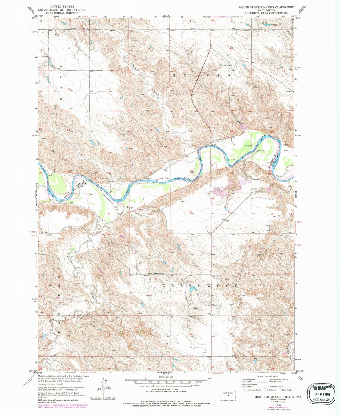
Historical USGS topographic quad map of Mouth of Mission Creek in the state of South Dakota. Map scale may vary for some years, but is generally around 1:24,000. Print size is approximately 24" x 27"
This quadrangle is in the following counties: Lyman, Tripp.
The map contains contour lines, roads, rivers, towns, and lakes. Printed on high-quality waterproof paper with UV fade-resistant inks, and shipped rolled.
Contains the following named places: Alfred Hutchinson Dam, Allyn School, Archie Millard Number 1 Dam, Cavite, Cottonwood Creek, Earl Burtz Number 1 Dam, Earl Burtz Number 2 Dam, Floyd Sletto Dam, Holy Rosary Church, Mission Creek, North Greenwood School, Township of Greenwood, Township of Sylvia