MyTopo
Classic USGS Mouth of Rio Grande Texas 7.5'x7.5' Topo Map
Couldn't load pickup availability
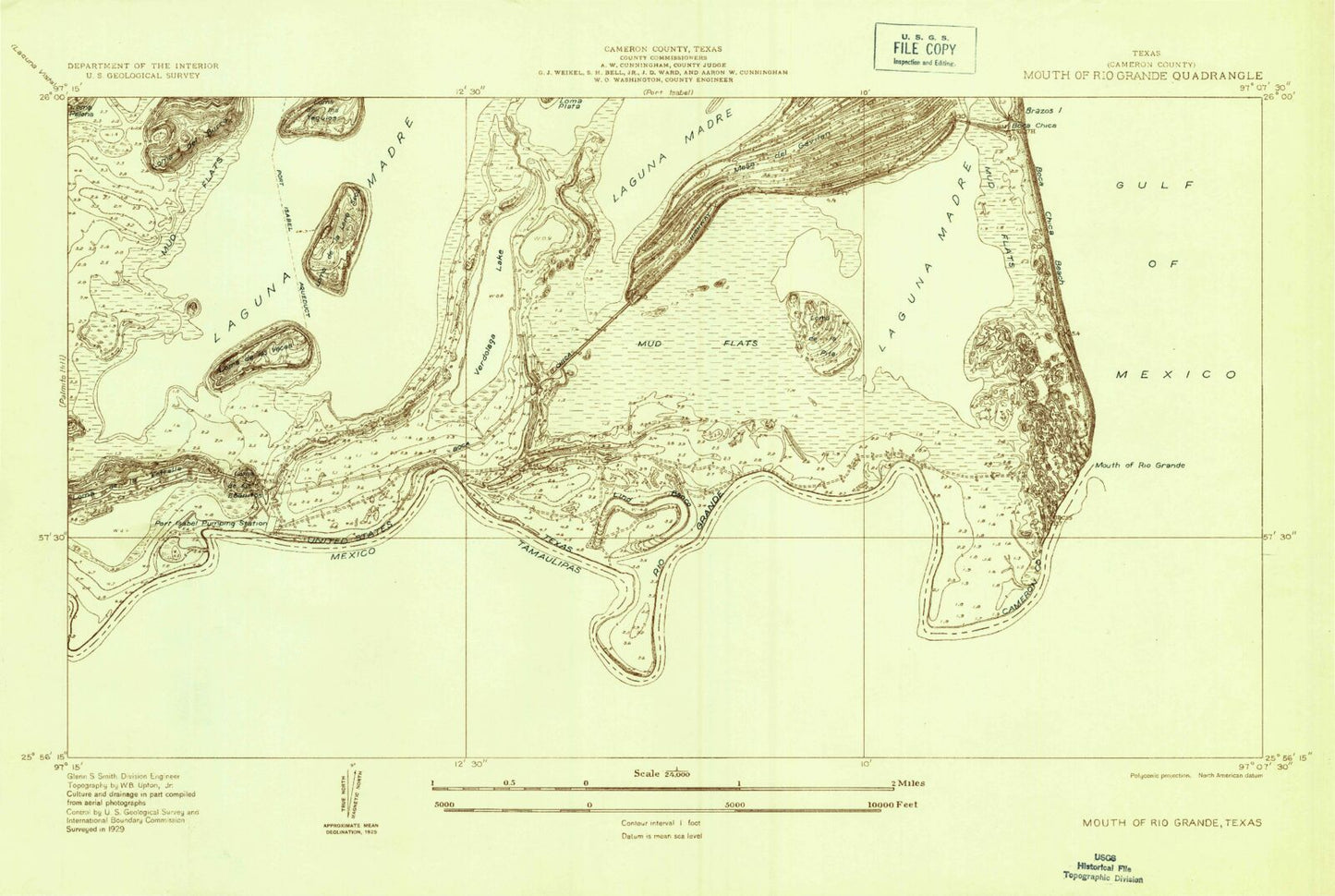
Historical USGS topographic quad map of Mouth of Rio Grande in the state of Texas. Map scale may vary for some years, but is generally around 1:24,000. Print size is approximately 24" x 27"
This quadrangle is in the following counties: Cameron.
The map contains contour lines, roads, rivers, towns, and lakes. Printed on high-quality waterproof paper with UV fade-resistant inks, and shipped rolled.
Contains the following named places: Boca Chica Beach, Clarksville, Kopernik Shores, Las Palomas Wildlife Management Area - Boca Chica Unit, Loma de la Estrella, Loma de la Lena Seca, Loma de la Pita, Loma de las Vacas, Loma de los Ebanitos, Lower Rio Grande Valley National Wildlife Refuge, Mesa del Gavilan, Monica, Mouth of Rio Grande, Port Isabel Reservoir, Rio Grande, Stell-Lind Banco Number 128, Tarpon Bend, Verdolaga Lake