MyTopo
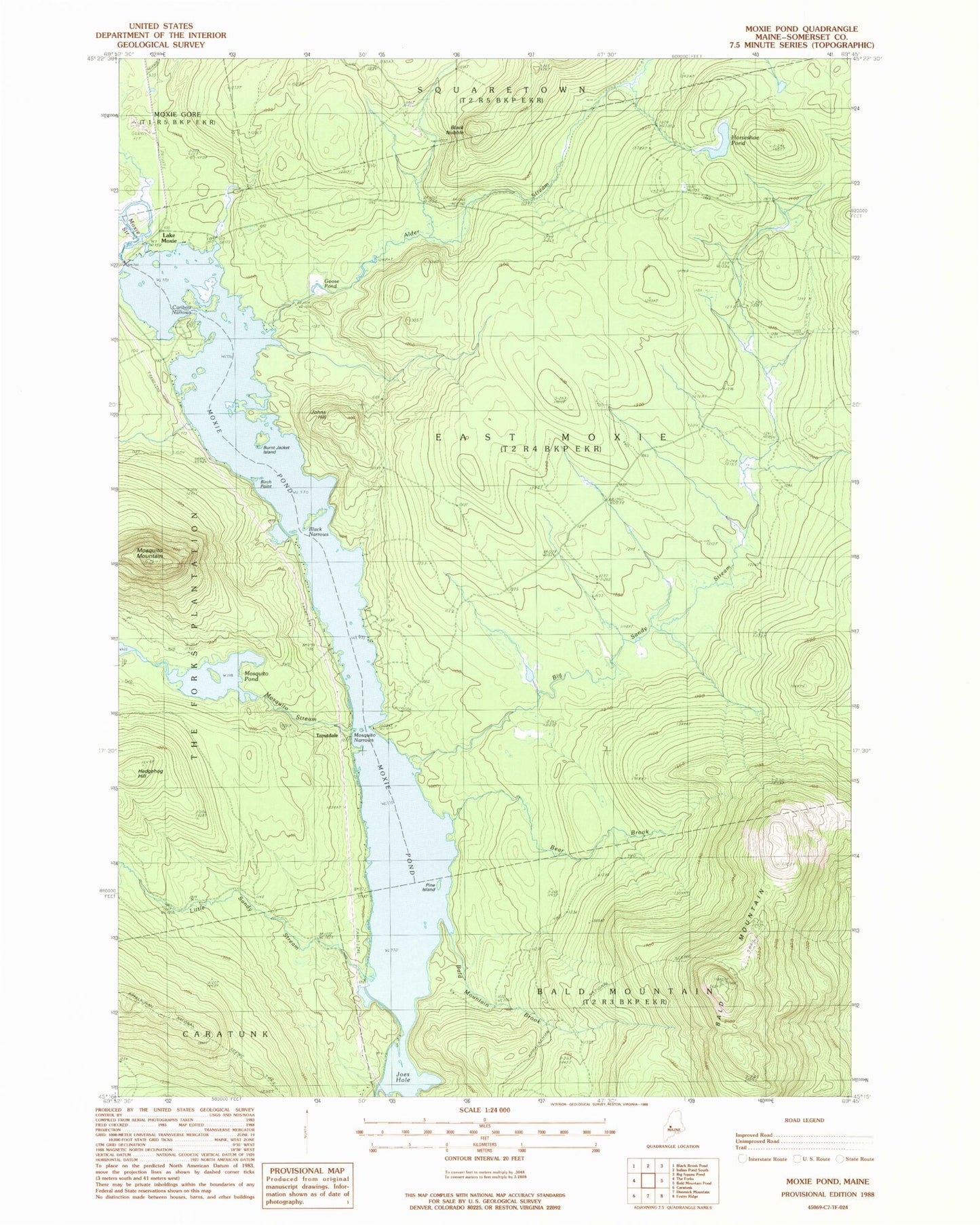
Classic USGS Moxie Pond Maine 7.5'x7.5' Topo Map
Couldn't load pickup availability
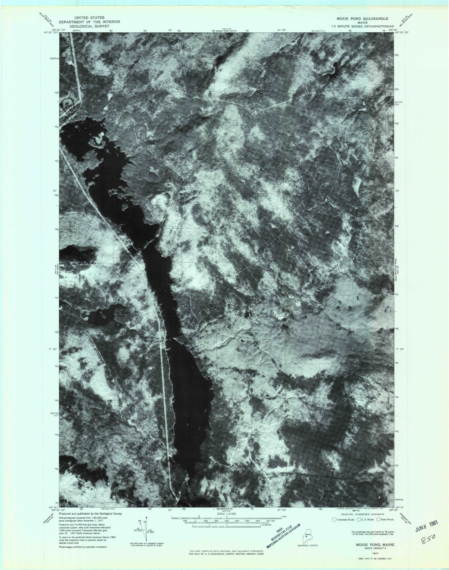
Historical USGS topographic quad map of Moxie Pond in the state of Maine. Typical map scale is 1:24,000, but may vary for certain years, if available. Print size: 24" x 27"
This quadrangle is in the following counties: Somerset.
The map contains contour lines, roads, rivers, towns, and lakes. Printed on high-quality waterproof paper with UV fade-resistant inks, and shipped rolled.
Contains the following named places: Bald Mountain, Bald Mountain Brook, Bear Brook, Big Sandy Stream, Birch Point, Black Narrows, Black Nubble, Burnt Jacket Island, Caribou Narrows, Goose Pond, Hedgehog Hill, Horseshoe Pond, Joes Hole, Johns Hill, Little Sandy Stream, Mosquito Mountain, Mosquito Narrows, Mosquito Pond, Mosquito Stream, Moxie Pond, Pine Island, Troutdale, Moxie Pond Dam, East Moxie Township