MyTopo
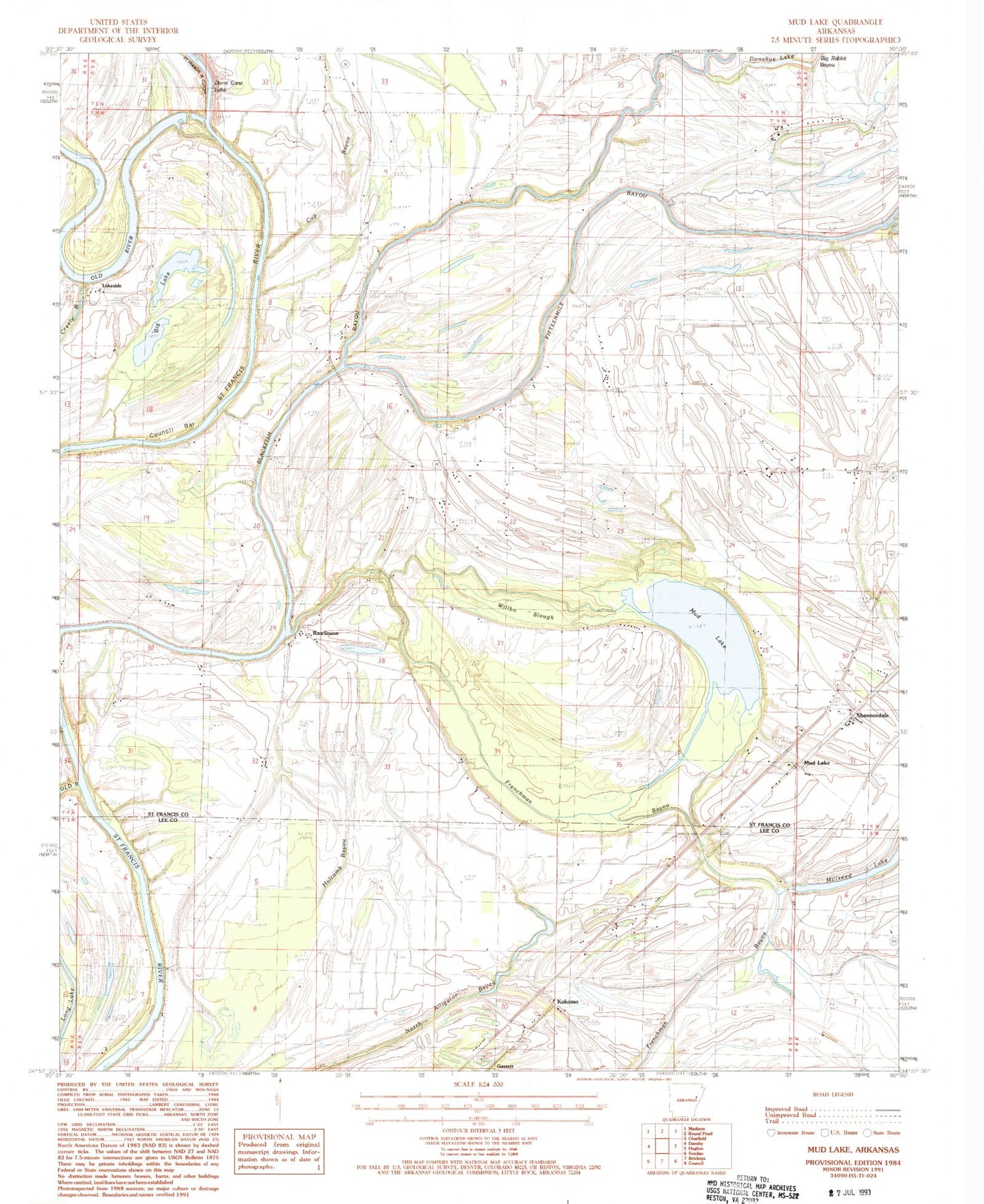
Classic USGS Mud Lake Arkansas 7.5'x7.5' Topo Map
Couldn't load pickup availability
Historical USGS topographic quad map of Mud Lake in the state of Arkansas. Map scale may vary for some years, but is generally around 1:24,000. Print size is approximately 24" x 27"
This quadrangle is in the following counties: Lee, St. Francis.
The map contains contour lines, roads, rivers, towns, and lakes. Printed on high-quality waterproof paper with UV fade-resistant inks, and shipped rolled.
Contains the following named places: Bethlehem Cemetery, Big Lake, Big Rabbit Bayou, Bledsoe, Burnt Cane Bend, Burnt Cane Crossing, Burnt Cane Shoal, Corner Stone Church, Cornerstone Church, Council Bar, Cup Bayou, Cut-Off Ferry, Cut-off School, Donahue Lake, Ebling, Fifteenmile Bayou, Frenchman Bayou, Gospel Temple, Green Farm, Green School, Horseshoe Bend, Kingsley Crossing, Kokomo, Lakeside, Linder Island, Linders Mill, Locust Grove Cemetery, Locust Grove Church, Locust Grove School, Mound School, Mount Zion Church, Mud Lake, Pleasant Grove School, Pleasant Plain Church, Rawlinson, Robinson Ferry, Rollison Church, Rollison School, Section School, Shannondale, Shepperd Crossing, Township of Black Fish, Twin Bridge School, Walling Bar, Willbo Slough, Winona


