MyTopo
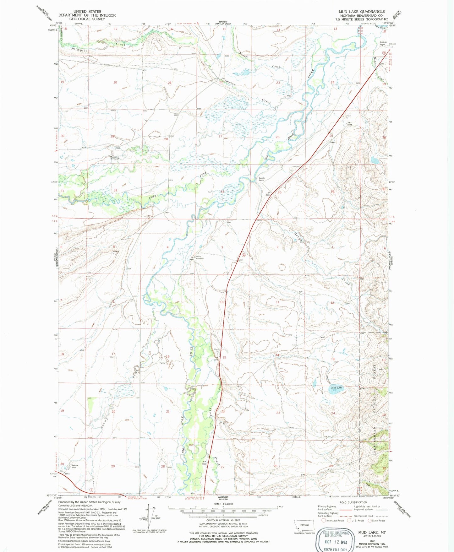
Classic USGS Mud Lake Montana 7.5'x7.5' Topo Map
Couldn't load pickup availability
Historical USGS topographic quad map of Mud Lake in the state of Montana. Map scale may vary for some years, but is generally around 1:24,000. Print size is approximately 24" x 27"
This quadrangle is in the following counties: Beaverhead.
The map contains contour lines, roads, rivers, towns, and lakes. Printed on high-quality waterproof paper with UV fade-resistant inks, and shipped rolled.
Contains the following named places: 01S15W35BCAB01 Well, 01S15W35BDCC01 Well, 02S15W15CABA01 Well, 02S15W28BADD01 Well, 02S15W28CDCC01 Well, 02S15W29CBDB01 Well, 02S15W29CCAB01 Well, Daniels Ranch, Doolittle Creek, Graveyard, Howell Creek, McVey Creek, McVey Homestead, Mud Lake, Mud Lake Dam, Mussigbrod Homestead, North Fork Big Hole River, Plimpton Creek, Rutledge Ranch, Spokane Ranch, Steel Creek, Swamp Creek, Wisdom Cemetery