MyTopo
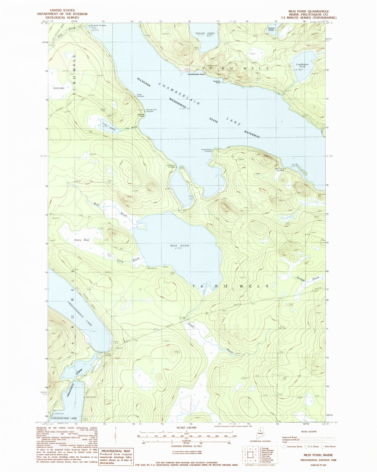
Classic USGS Mud Pond Maine 7.5'x7.5' Topo Map
Couldn't load pickup availability
Historical USGS topographic quad map of Mud Pond in the state of Maine. Map scale may vary for some years, but is generally around 1:24,000. Print size is approximately 24" x 27"
This quadrangle is in the following counties: Piscataquis.
The map contains contour lines, roads, rivers, towns, and lakes. Printed on high-quality waterproof paper with UV fade-resistant inks, and shipped rolled.
Contains the following named places: Carry Bog, Carry Brook, Carry Trail, Chamberlain Farm, Chamberlain Lake, Donnely Point, Donnely Point Campsite, Dottle Brook, Ellis Brook, Ellis Brook Campsite, Leadbetter Brook, Leadbetter Pond, Little Longley Brook, Lost Brook, Lost Pond, Mud Brook, Mud Pond, Shady Campsite, T6 R12 WELS, Umbazooksus Dam