MyTopo
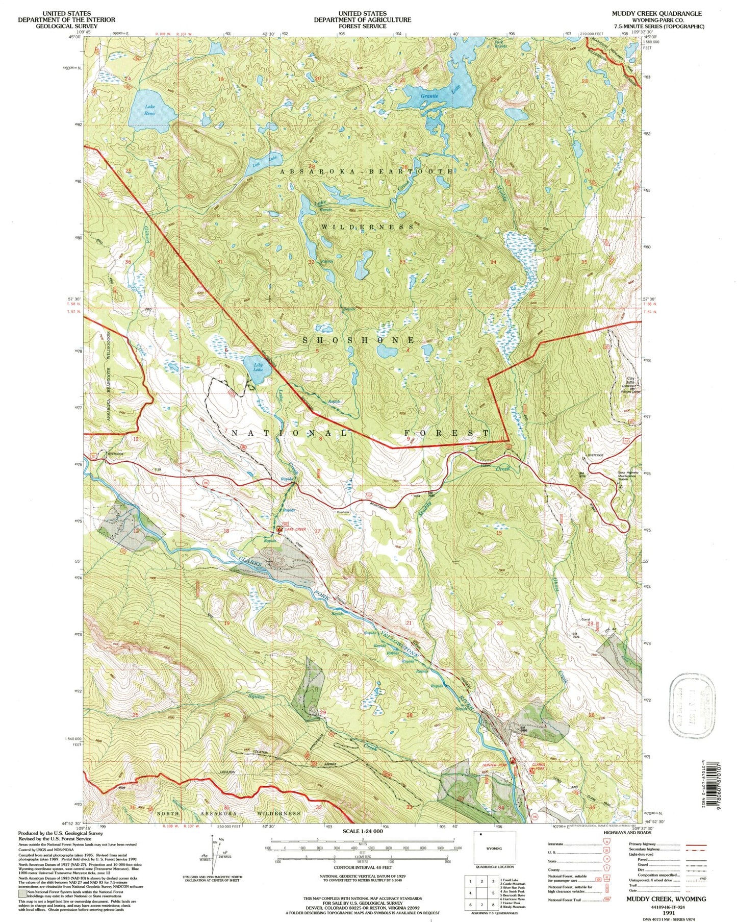
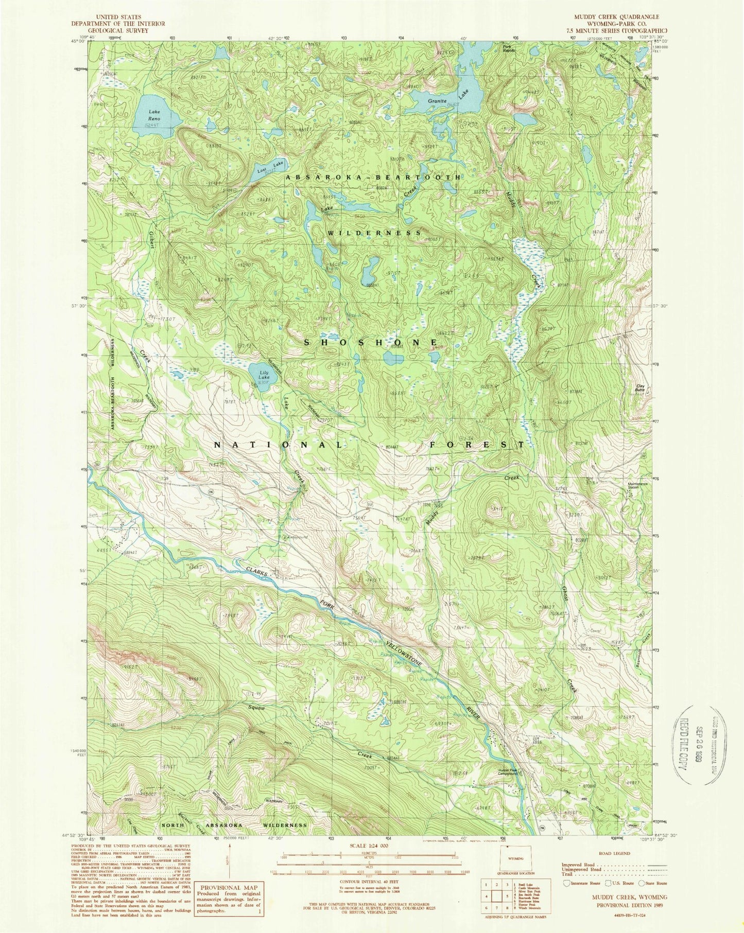
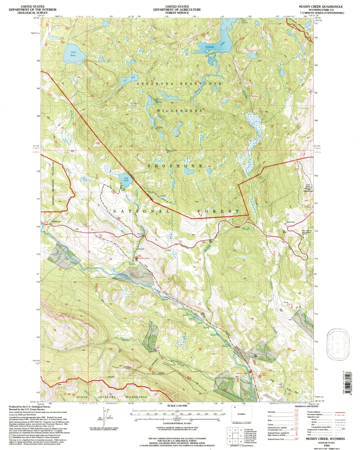
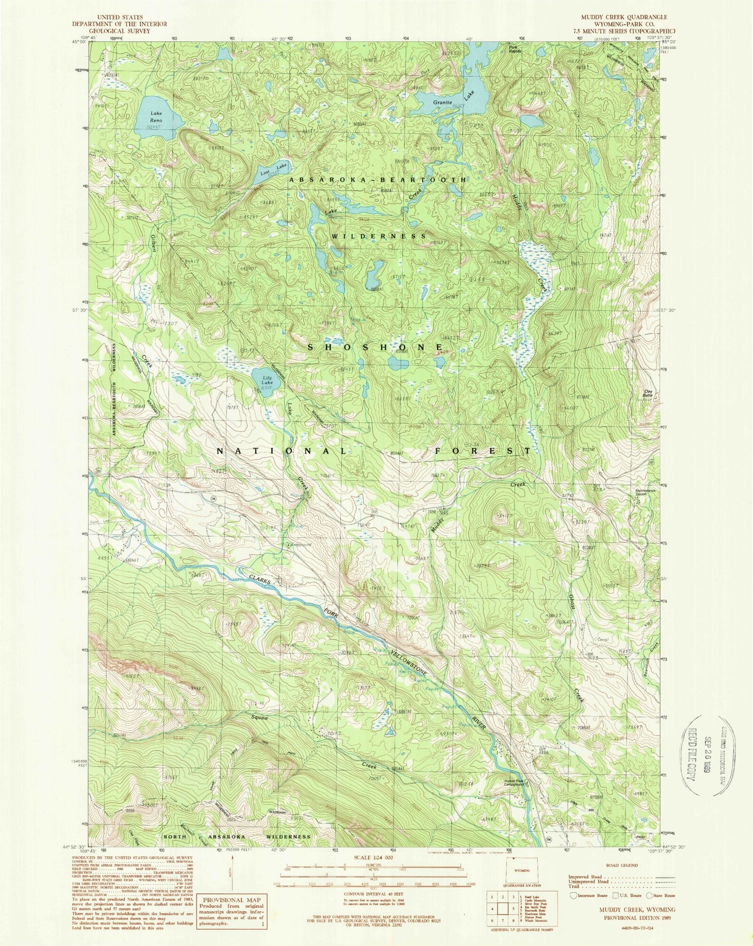
Classic USGS Muddy Creek Wyoming 7.5'x7.5' Topo Map
Couldn't load pickup availability
Historical USGS topographic quad map of Muddy Creek in the state of Wyoming. Typical map scale is 1:24,000, but may vary for certain years, if available. Print size: 24" x 27"
This quadrangle is in the following counties: Park.
The map contains contour lines, roads, rivers, towns, and lakes. Printed on high-quality waterproof paper with UV fade-resistant inks, and shipped rolled.
Contains the following named places: Granite Lake, Onemile Creek, Clay Butte, Crossbow Ranch, Few Acres Ranch, Gilbert Creek, Granite Lake, Hunter Peak Ranch, L Bar Ranch, Lake Creek, Lake Creek Campground, Lily Lake, Lost Lake, Muddy Creek, Onemile Creek, Park Rapids, Lake Reno, Squaw Creek, State Highway Maintenance Camp, Clay Butte Trail, Copeland Lake Trail, Crazy Mountain Trail, Granite Loop Trail, Hunter Peak Campground, Lake Reno Trail, Lost Lake Trail, Squaw Creek Trail, Upper Granite Loop Trail, Clarks Fork Trailhead


