MyTopo
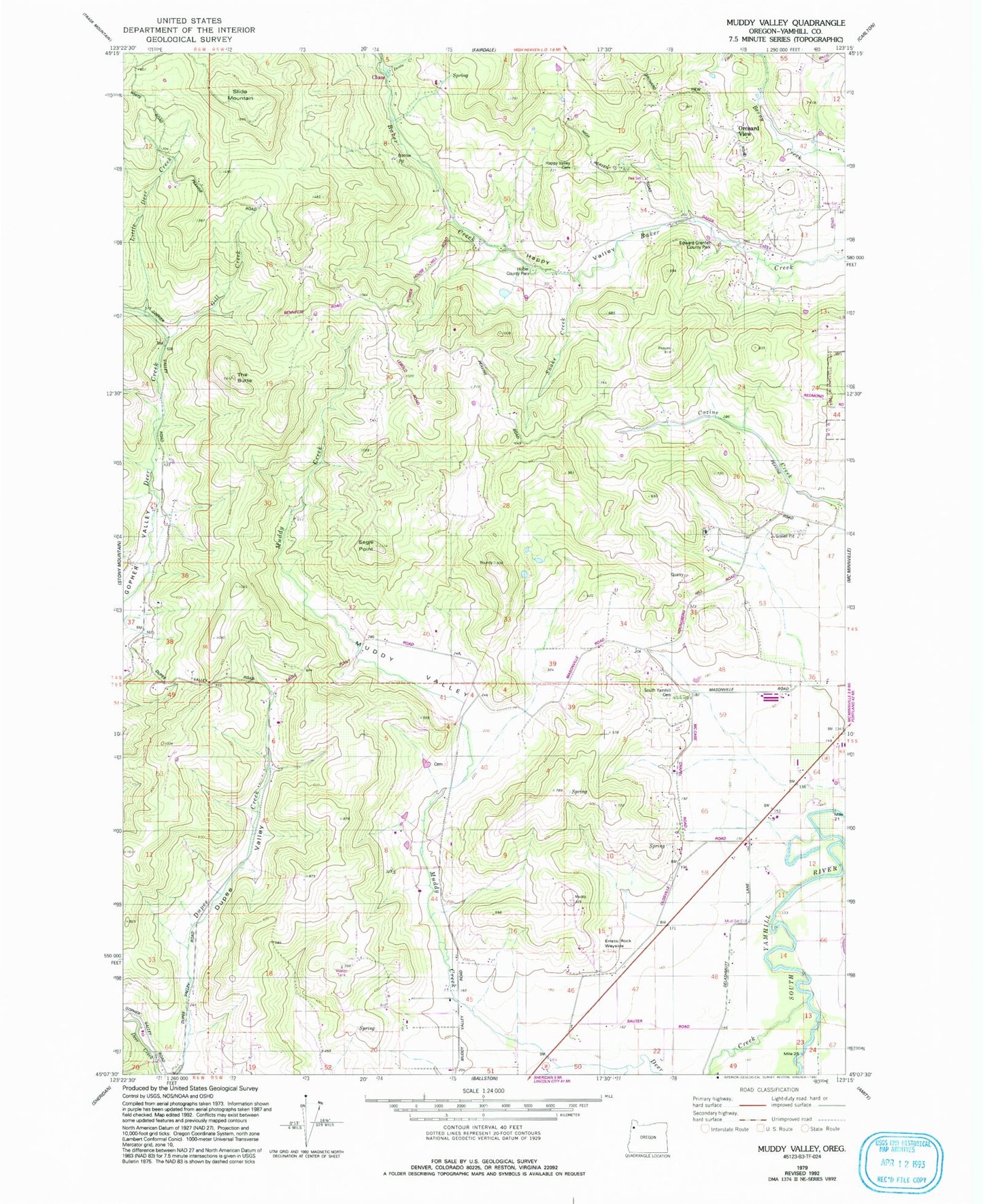
Classic USGS Muddy Valley Oregon 7.5'x7.5' Topo Map
Couldn't load pickup availability
Historical USGS topographic quad map of Muddy Valley in the state of Oregon. Map scale may vary for some years, but is generally around 1:24,000. Print size is approximately 24" x 27"
This quadrangle is in the following counties: Yamhill.
The map contains contour lines, roads, rivers, towns, and lakes. Printed on high-quality waterproof paper with UV fade-resistant inks, and shipped rolled.
Contains the following named places: Blue Heron Reservoir, Charles Metsker County Park, Chase Post Office, Deer Creek, Deer Creek Airport, Devils Creek, Dupee Valley, Eagle Point, East Fork Muddy Creek, Edward Grenfell County Park, Erratic Rock State Park, Gill Creek, Happy Valley, Happy Valley Cemetery, Happy Valley Community Hall, Haven Hill Pond, Huber County Park, Juliette County Park, Little Deer Creek, Masonville Community Hall, Middle Fork Muddy Creek, Mochettaz Reservoir, Monroe Landing County Park, Muddy Creek, Muddy Valley, Orchard View, Peter Dinsdale Dam, Power House County Park, Sander Reservoir, Slide Mountain, Snake Creek, South Yamhill Cemetery, The Butte, Vierra Springs, Yamhill County, ZIP Code: 97128


