MyTopo
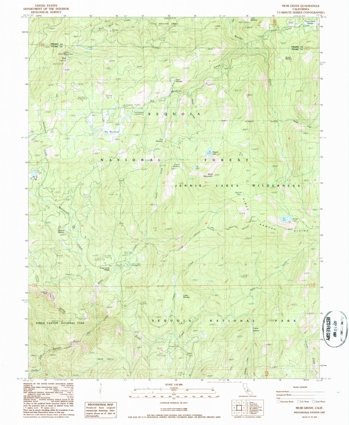
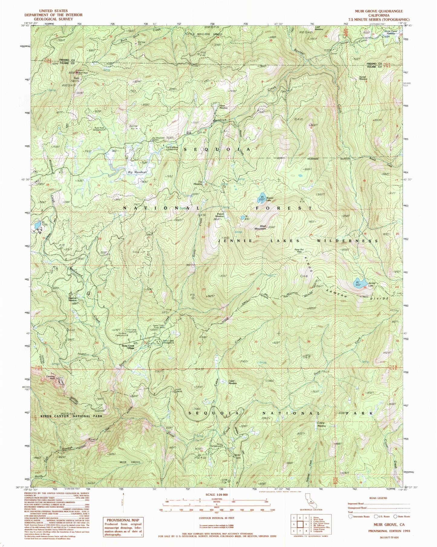
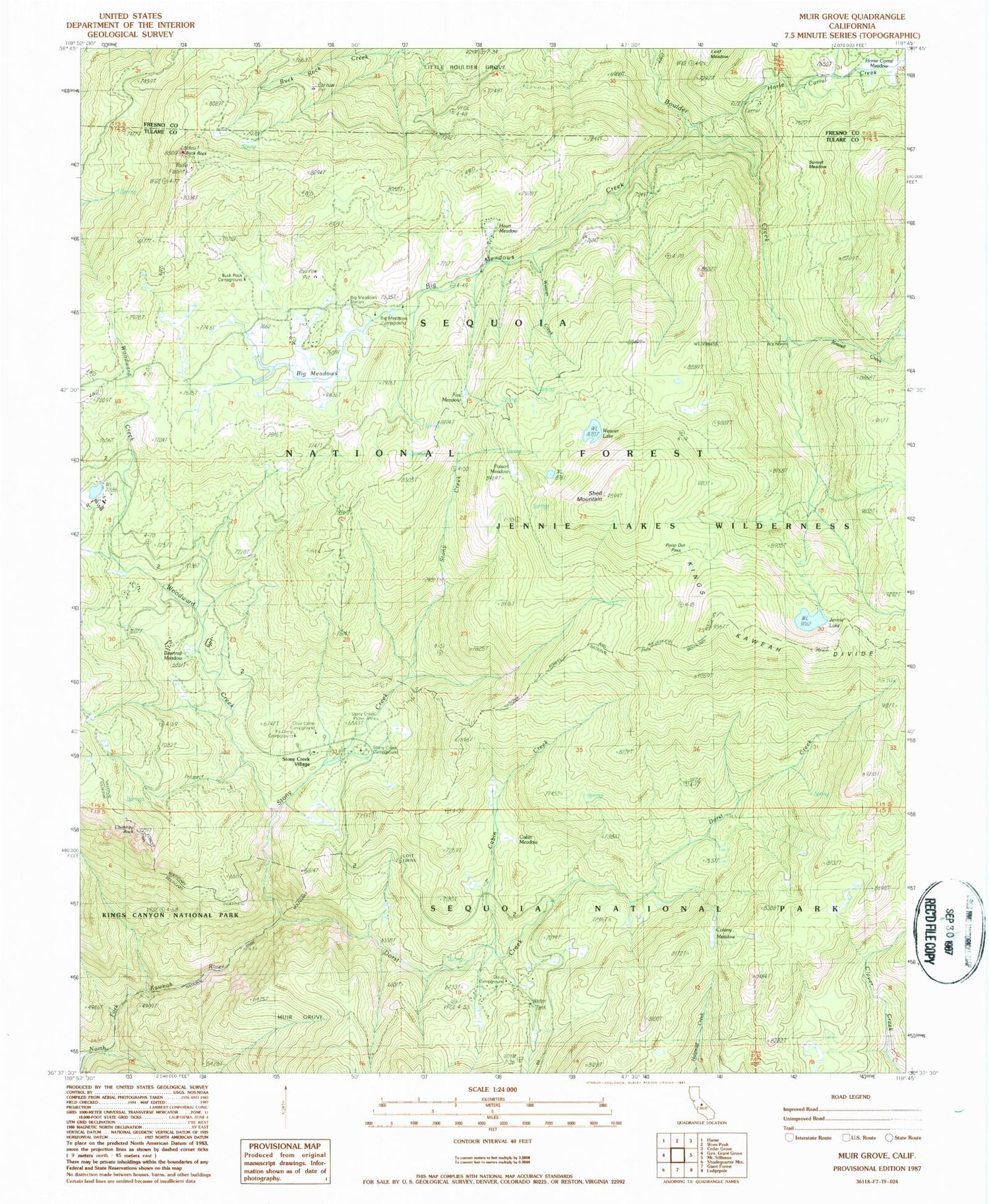
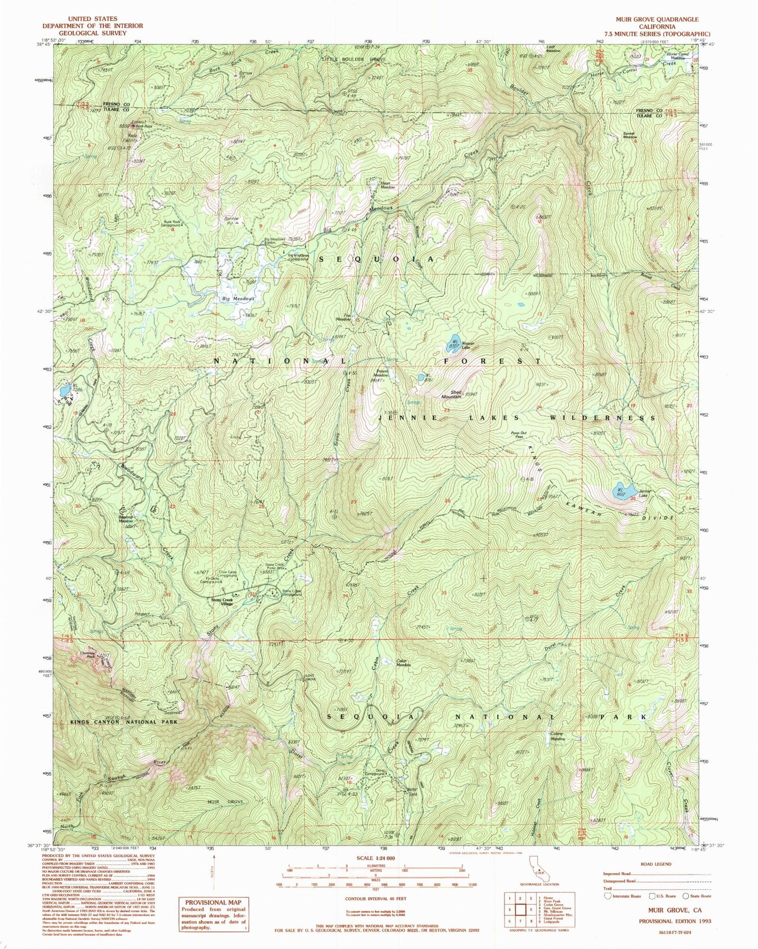
USGS Classic Muir Grove California 7.5'x7.5' Topo Map
Couldn't load pickup availability
Historical USGS topographic quad map of Muir Grove in the state of California. Scale: 1:24000. Print size: 24" x 27"
This quadrangle is in the following counties: Fresno, Tulare.
The map contains contour lines, roads, rivers, towns, lakes, and grids including latitude / longitude and UTM / MGRS. Printed on high-quality waterproof paper with UV fade-resistant inks.
Contains the following named places: Shell Mountain, Beartrap Meadow, Big Meadows, Big Meadows Creek, Big Meadows Station, Buck Rock, Buck Rock Campground, Cabin Creek, Cabin Meadow, Chimney Rock, Colony Meadow, Dorst Campground, Dorst Creek, Fox Meadow, Heart Meadow, Horse Corral Creek, Horse Corral Meadow, Jennie Lake, Little Boulder Grove, Lost Grove, Muir Grove, Poop Out Pass, Stony Creek, Stony Creek Campground, Sunset Meadow, Weaver Creek, Weaver Lake, Woodward Creek, Pattee Creek, Gannon Creek, Big Meadows Nordic Ski Trail, Fir Camp Campground, Cove Camp Campground, Jennie Lakes Wilderness, Poison Meadow, Big Meadows Campground, Rowell Creek, Stony Creek Picnic Area, Stony Creek Village


