MyTopo
Classic USGS Mulberry Arkansas 7.5'x7.5' Topo Map
Couldn't load pickup availability
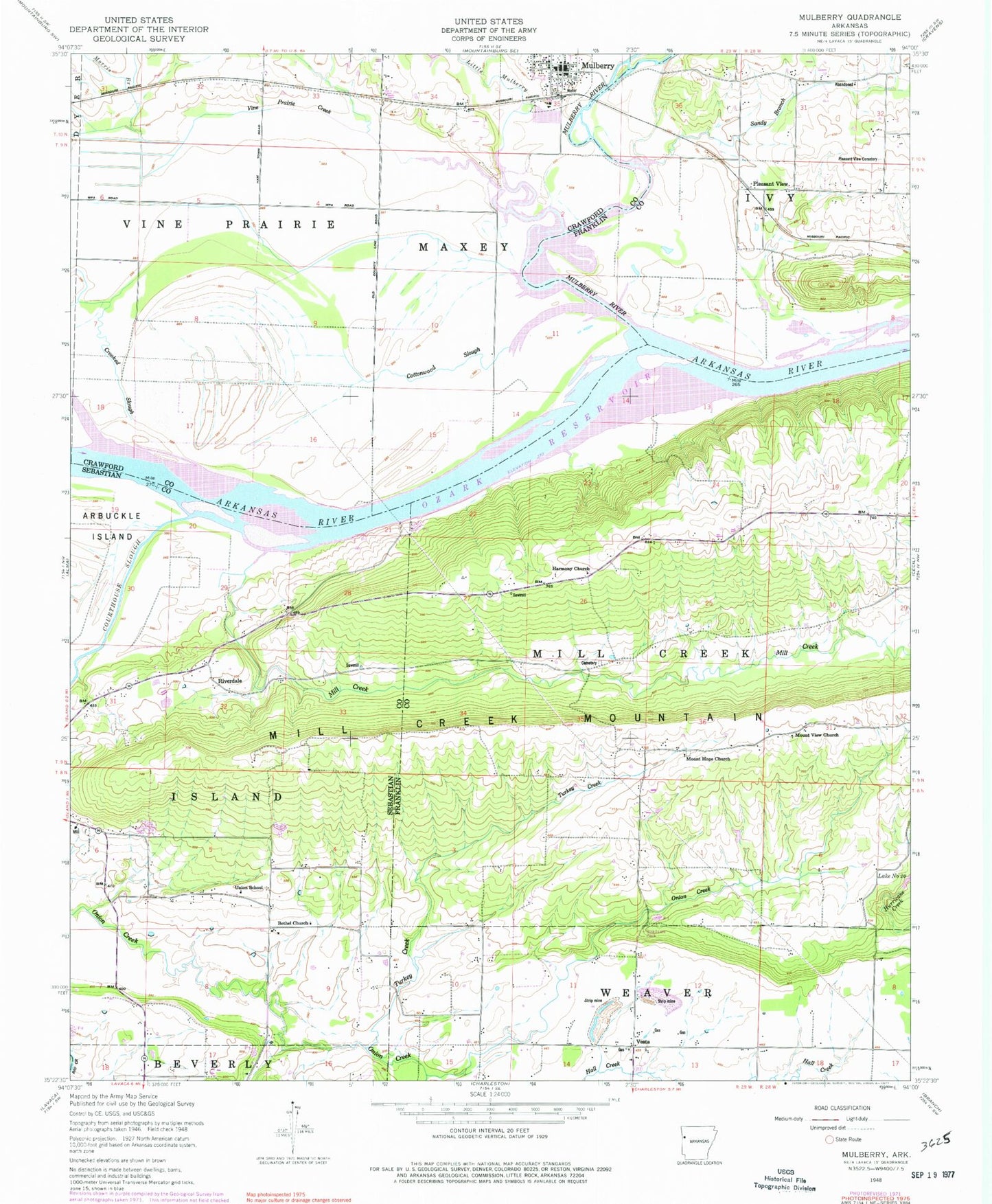
Historical USGS topographic quad map of Mulberry in the state of Arkansas. Map scale may vary for some years, but is generally around 1:24,000. Print size is approximately 24" x 27"
This quadrangle is in the following counties: Crawford, Franklin, Sebastian.
The map contains contour lines, roads, rivers, towns, and lakes. Printed on high-quality waterproof paper with UV fade-resistant inks, and shipped rolled.
Contains the following named places: Anice, Arbuckle Cemetery, Bethel Church, Cottonwood Slough, Crooked Slough, Hall Creek, Harmony Church, Hepseby Cemetery, Hight Cemetery, Highway 96 Baptist Church, Little Mulberry Creek, Mill Creek, Morris Branch, Mount Hope Church, Mount View Church, Mount Zion Church, Mulberry Fire Department, Mulberry Police Department, Mulberry Post Office, Mulberry River, Ozark Lake, Pleasant View, Pleasant View Cemetery, Riverdale, Riverdale Church, Riverdale Fire Station, Sandy Branch, Sixmile Creek Site 20 Dam, Tate Cemetery, Township of Island, Township of Ivy, Township of Mill Creek, Township of Vine Prairie, Turkey Creek, Union Church, Union School, Vesta, Vesta Gas Field, Vine Prairie Creek, Vine Prairie Public Use Area