MyTopo
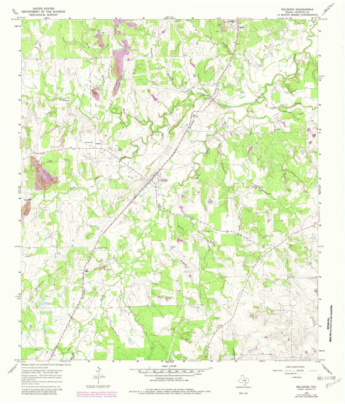
Classic USGS Muldoon Texas 7.5'x7.5' Topo Map
Couldn't load pickup availability
Historical USGS topographic quad map of Muldoon in the state of Texas. Map scale may vary for some years, but is generally around 1:24,000. Print size is approximately 24" x 27"
This quadrangle is in the following counties: Fayette.
The map contains contour lines, roads, rivers, towns, and lakes. Printed on high-quality waterproof paper with UV fade-resistant inks, and shipped rolled.
Contains the following named places: Black Jack Springs Cemetery, Blackjack Creek, Busby Branch, Cedar Creek, Chandler Branch, Cherry Spraying Service Airport, Dogwood Creek, Flatonia Division, Floy, Grand Prairie Memorial Library, Haw Branch, Jack Young Creek, Live Oak Creek, Marly, Muldoon, Muldoon Oil Field, Muldoon Post Office, Muldoon Volunteer Fire Department, Pin Oak Creek, Pitman Cemetery, Salt Branch, Steinhauser Lake, Steinhauser Lake Dam, Tuttle Creek, ZIP Code: 78949