MyTopo
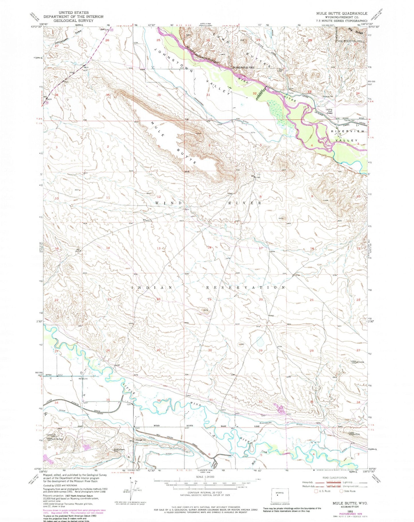
Classic USGS Mule Butte Wyoming 7.5'x7.5' Topo Map
Couldn't load pickup availability
Historical USGS topographic quad map of Mule Butte in the state of Wyoming. Map scale may vary for some years, but is generally around 1:24,000. Print size is approximately 24" x 27"
This quadrangle is in the following counties: Fremont.
The map contains contour lines, roads, rivers, towns, and lakes. Printed on high-quality waterproof paper with UV fade-resistant inks, and shipped rolled.
Contains the following named places: Blackburn Ditch, Edmo Buttes, Ethete Census Designated Place, Fremont County, Johnstown, Johnstown Census Designated Place, Johnstown Ditch, Johnstown Draw, Johnstown Valley, Le Clair Cemetery, Le clair Diversion Dam, Mill Creek, Mill Creek Drain, Mule Butte, Shakespare Cemetery, Yellow Calf Cemetery