MyTopo
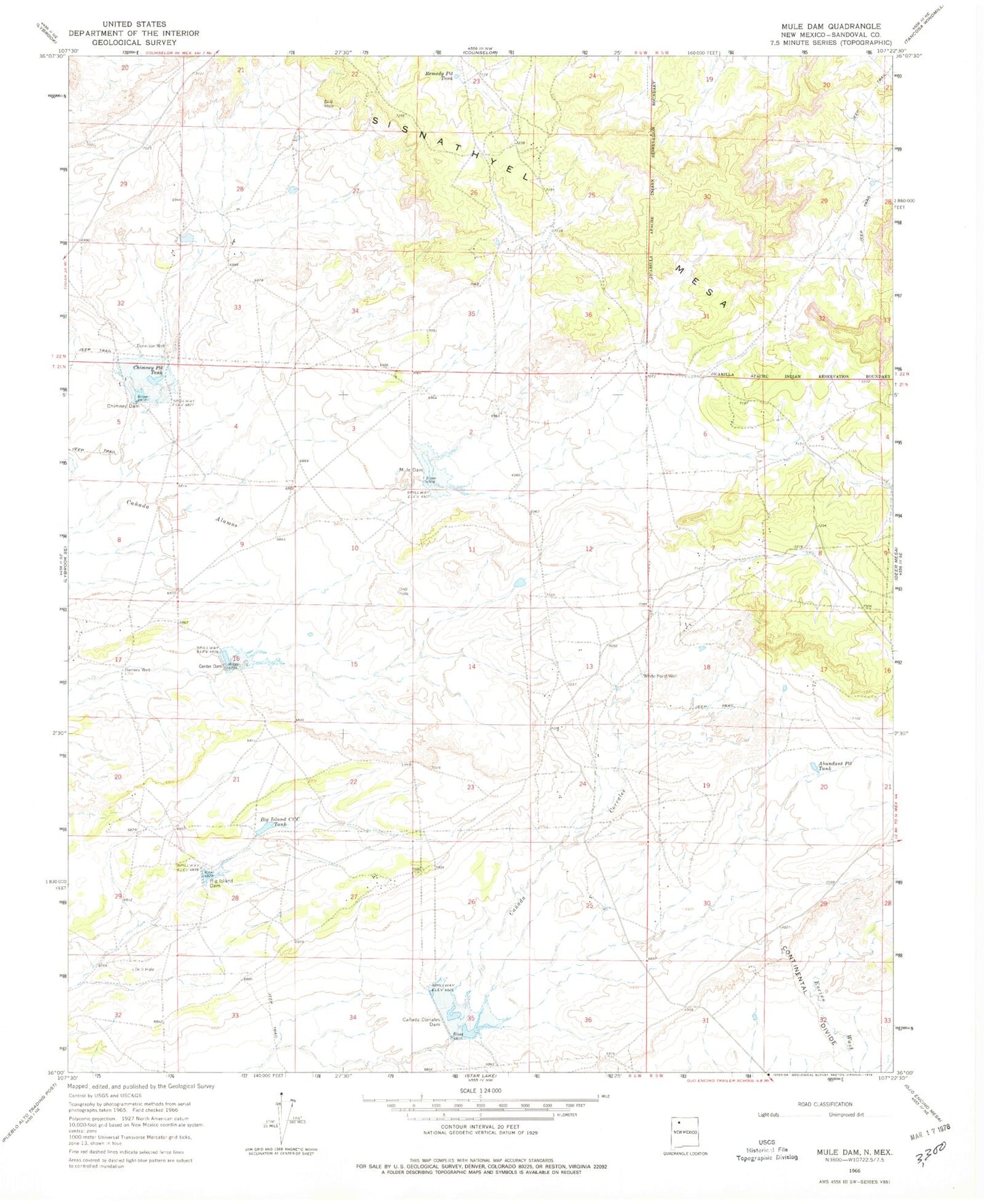
Classic USGS Mule Dam New Mexico 7.5'x7.5' Topo Map
Couldn't load pickup availability
Historical USGS topographic quad map of Mule Dam in the state of New Mexico. Map scale may vary for some years, but is generally around 1:24,000. Print size is approximately 24" x 27"
This quadrangle is in the following counties: Sandoval.
The map contains contour lines, roads, rivers, towns, and lakes. Printed on high-quality waterproof paper with UV fade-resistant inks, and shipped rolled.
Contains the following named places: Abundant Pit Tank, Big Island CCC Tank, Big Island Dam, Canada Corrales Dam, Canyonada Corralis Dam, Center Dam, Center Detention Dam, Chimney Dam, Chimney Detention Dam, Chimney Pit Tank, Counselor Chapter, Dennison Well, Herrera Well, Mule Dam, Mule Detention Dam, Remedy Pit Tank, Sisnathyel Mesa, White Point Well