MyTopo
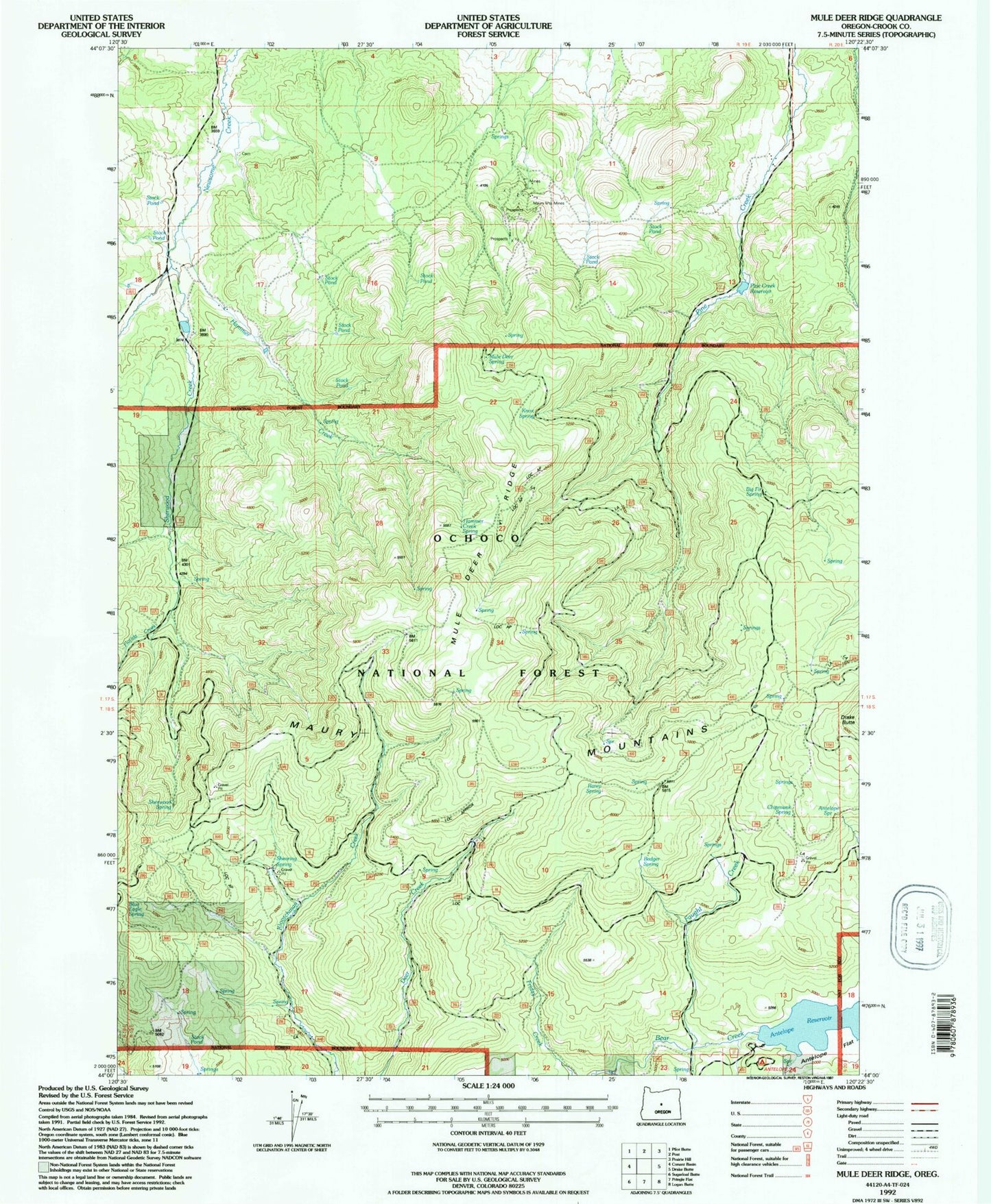
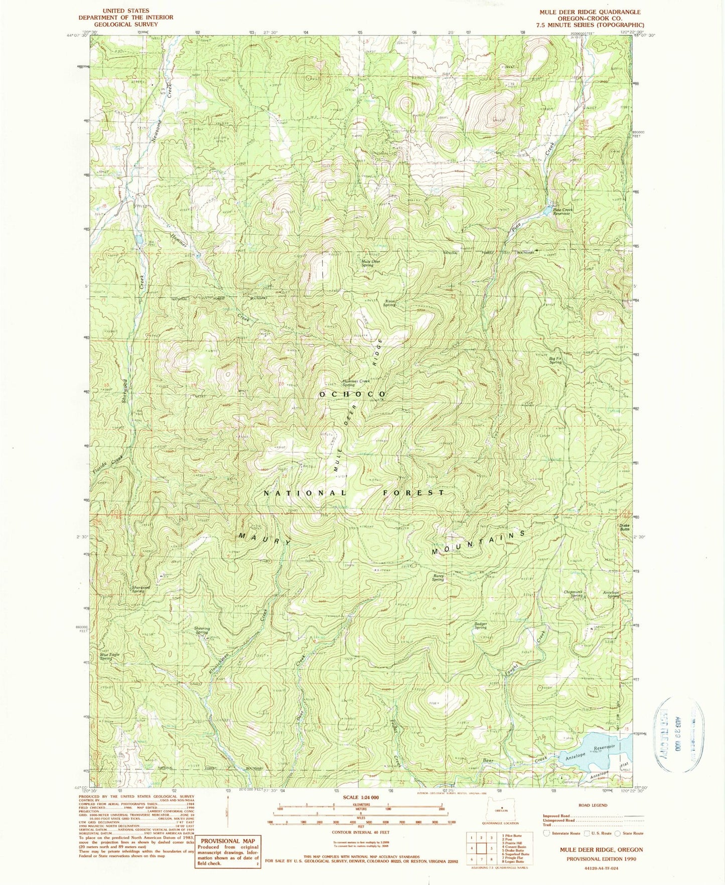
Classic USGS Mule Deer Ridge Oregon 7.5'x7.5' Topo Map
Couldn't load pickup availability
Historical USGS topographic quad map of Mule Deer Ridge in the state of Oregon. Map scale may vary for some years, but is generally around 1:24,000. Print size is approximately 24" x 27"
This quadrangle is in the following counties: Crook.
The map contains contour lines, roads, rivers, towns, and lakes. Printed on high-quality waterproof paper with UV fade-resistant inks, and shipped rolled.
Contains the following named places: Antelope Flat Dam, Antelope Flat Reservoir, Antelope Flat Reservoir Boat Launch, Antelope Reservoir Recreation Site, Antelope Spring, Badger Spring, Big Fir Spring, Blue Eagle Spring, Chipmunk Spring, Drake Butte, Faught Creek, Flag Flat, Florida Creek, Hammer Creek, Hammer Creek Spring, Knox Cemetery, Knox Spring, Lillie Flat, Maury Mountain Mines, Maury Mountains, Mule Deer Ridge, Mule Deer Spring, Newsome Creek Dam Number 1, Newsome Creek Reservoir Number 1, Pine Creek Campground, Pine Creek Dam, Pine Creek Reservoir, Rarey Spring, Shearing Spring, Sherwood Creek, Sherwood Spring