MyTopo
Classic USGS Mule Hoof Bend Arizona 7.5'x7.5' Topo Map
Couldn't load pickup availability
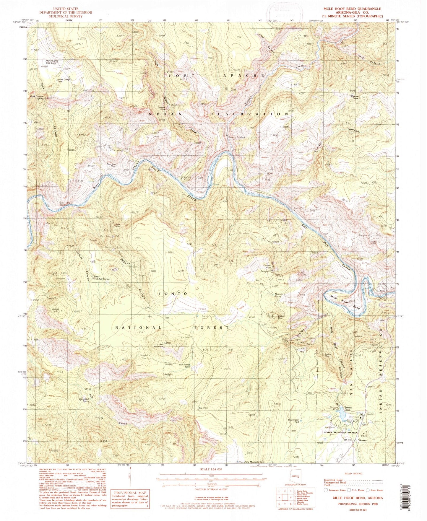
Historical USGS topographic quad map of Mule Hoof Bend in the state of Arizona. Map scale may vary for some years, but is generally around 1:24,000. Print size is approximately 24" x 27"
This quadrangle is in the following counties: Gila.
The map contains contour lines, roads, rivers, towns, and lakes. Printed on high-quality waterproof paper with UV fade-resistant inks, and shipped rolled.
Contains the following named places: Apache Mine, Ash Mountain, Ash Spring, Ash Spring Tank, Canadian Mines, Cibecue Creek, Cienega Creek, Coyote Butte, Coyote Canyon, Emsco Mine, Enders Mine, Fiber King Mine, First Campground, Hole Canyon, Horse Camp Tank, Horse Camp Trap Tank, Jimana Inn, Lower Fourth of July Spring, Mormon Spring, Mule Hoof Bend, Mule Hoof Canyon, Phillips Canyon, Phillips Mine, Regal Canyon, Regal Mine, Reservation Tank, Roadside Picnic Area Milepost Two Hundred Ninety, Roadside Table Milepost Two Hundred Ninetythree, Rock Canyon, Rock Canyon Spring, Salt Bank Campground, Salt River Draw, Salt River Recreation Area, Second Campground, Seneca, Seneca Lake, Seneca Lake Dam, Seneca Lake Recreation Area, Slick Rock Spring, Tank Canyon, Top of the Mountain Tank, Walnut Canyon