MyTopo
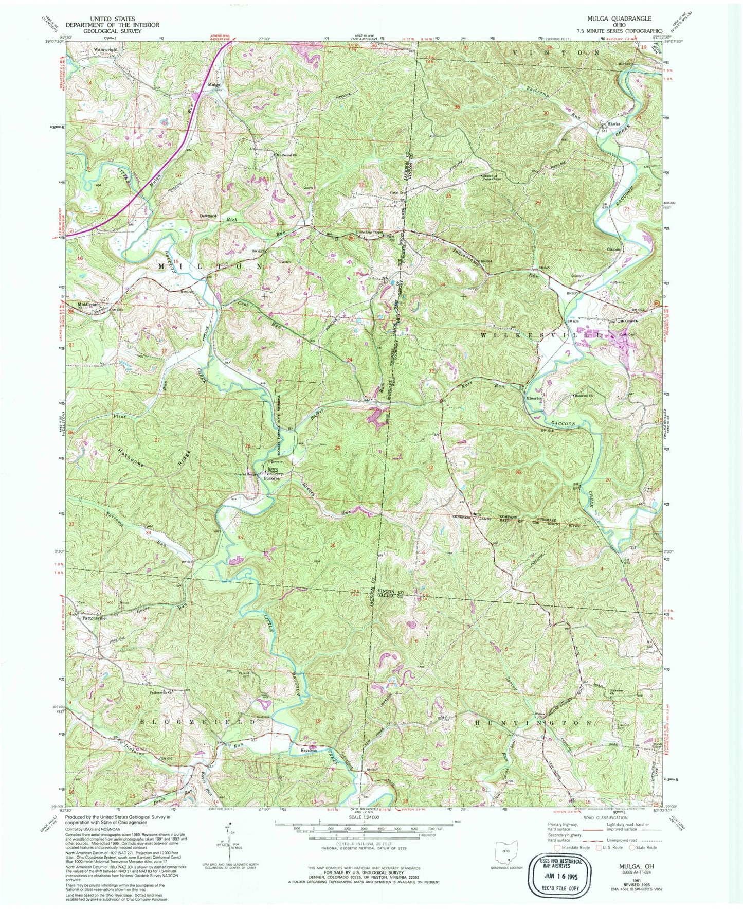
Classic USGS Mulga Ohio 7.5'x7.5' Topo Map
Couldn't load pickup availability
Historical USGS topographic quad map of Mulga in the state of Ohio. Typical map scale is 1:24,000, but may vary for certain years, if available. Print size: 24" x 27"
This quadrangle is in the following counties: Gallia, Jackson, Vinton.
The map contains contour lines, roads, rivers, towns, and lakes. Printed on high-quality waterproof paper with UV fade-resistant inks, and shipped rolled.
Contains the following named places: Church of Jesus Christ, Curry Cemetery, Fairview Church, Flint Run, Franklin Cemetery, Greer Cemetery, Hothouse Ridge, Karr Run, Kyger Run, Minerton Church, Mount Olive Church, Mulga Run, Rockcamp Run, Willow Church, Buckeye Furnace Bridge, Union School (historical), Cooney School (historical), Indiancamp Run, Tarcamp Run, Wainwright, Buckeye Furnace State Memorial, Buffer Run, Coal Run, Fisher Cemetery, Goose Run, Greasy Run, Keystone Cemetery, Morris Chapel, Mount Carmel Church, Pattonsville, Pattonsville Church, Perkins Cemetery, Uncle Joes Chapel, Buckeye, Clarion, Keystone, Minerton, Mulga, Rich Run, Hawks, Dickason Run, Ponn Humpback Covered Bridge, Buckeye Furnace (historical), Downard, Mount Carmel Cemetery, Dixon Run, Furnace, Township of Milton, Pattonsville Cemetery


