MyTopo
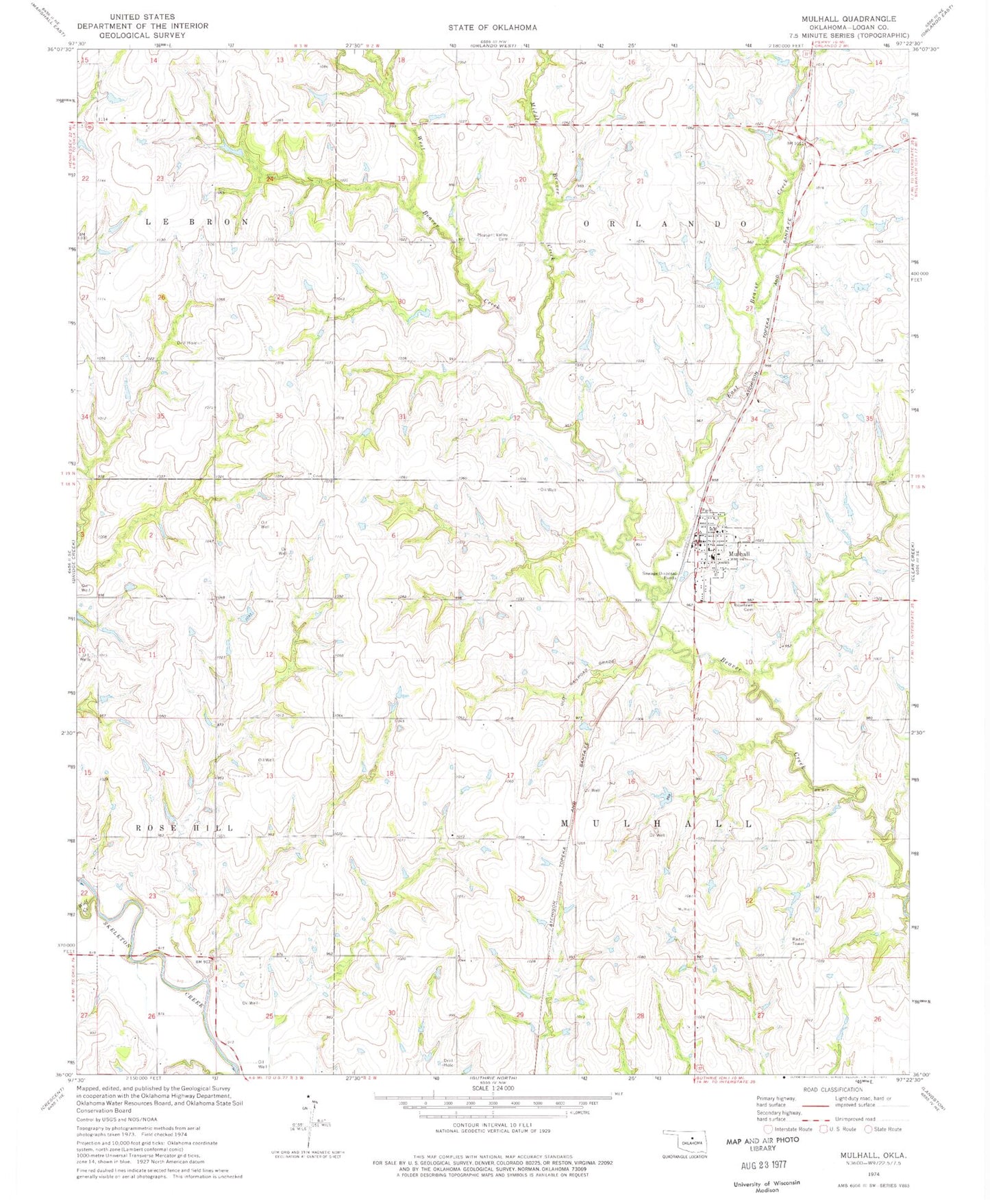
Classic USGS Mulhall Oklahoma 7.5'x7.5' Topo Map
Couldn't load pickup availability
Historical USGS topographic quad map of Mulhall in the state of Oklahoma. Map scale may vary for some years, but is generally around 1:24,000. Print size is approximately 24" x 27"
This quadrangle is in the following counties: Logan.
The map contains contour lines, roads, rivers, towns, and lakes. Printed on high-quality waterproof paper with UV fade-resistant inks, and shipped rolled.
Contains the following named places: Barnes, East Beaver Creek, Middle Beaver Creek, Mulhall, Mulhall - Orlando Elementary School, Mulhall Post Office, Mulhall Volunteer Fire Department, North Logan Division, Oknoname 083021 Dam, Oknoname 083021 Reservoir, Oknoname 083040 Dam, Oknoname 083040 Reservoir, Pleasant Valley Cemetery, Roselawn Cemetery, Township of Mulhall, Township of Orlando, West Beaver Creek, Wolf Creek, ZIP Code: 73063