
MyTopo
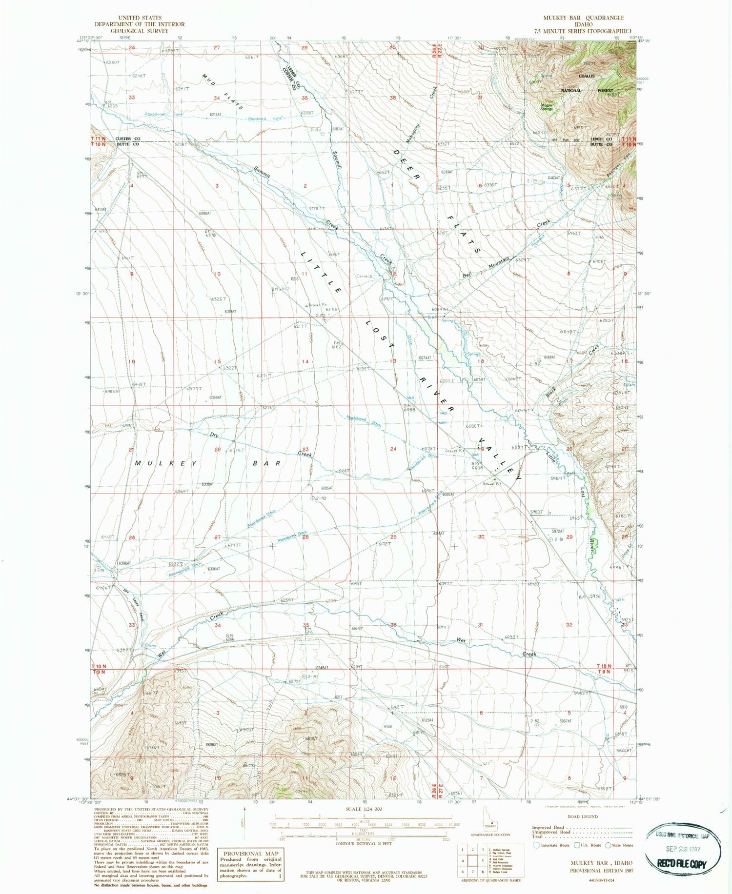
Classic USGS Mulkey Bar Idaho 7.5'x7.5' Topo Map
Regular price
$16.95
Regular price
Sale price
$16.95
Unit price
per
Couldn't load pickup availability
Historical USGS topographic quad map of Mulkey Bar in the state of Idaho. Map scale may vary for some years, but is generally around 1:24,000. Print size is approximately 24" x 27"
This quadrangle is in the following counties: Butte, Custer, Lemhi.
The map contains contour lines, roads, rivers, towns, and lakes. Printed on high-quality waterproof paper with UV fade-resistant inks, and shipped rolled.
Contains the following named places: Basinger Canyon, Bell Mountain Creek, Bell Mountain Ranger Station, Black Creek, Deep Creek, Deer Flats, Dry Creek, Magpie Springs, Mahogany Creek, Mulky Bar, Sawmill Creek, Summit Creek, Telford Pipe


