MyTopo
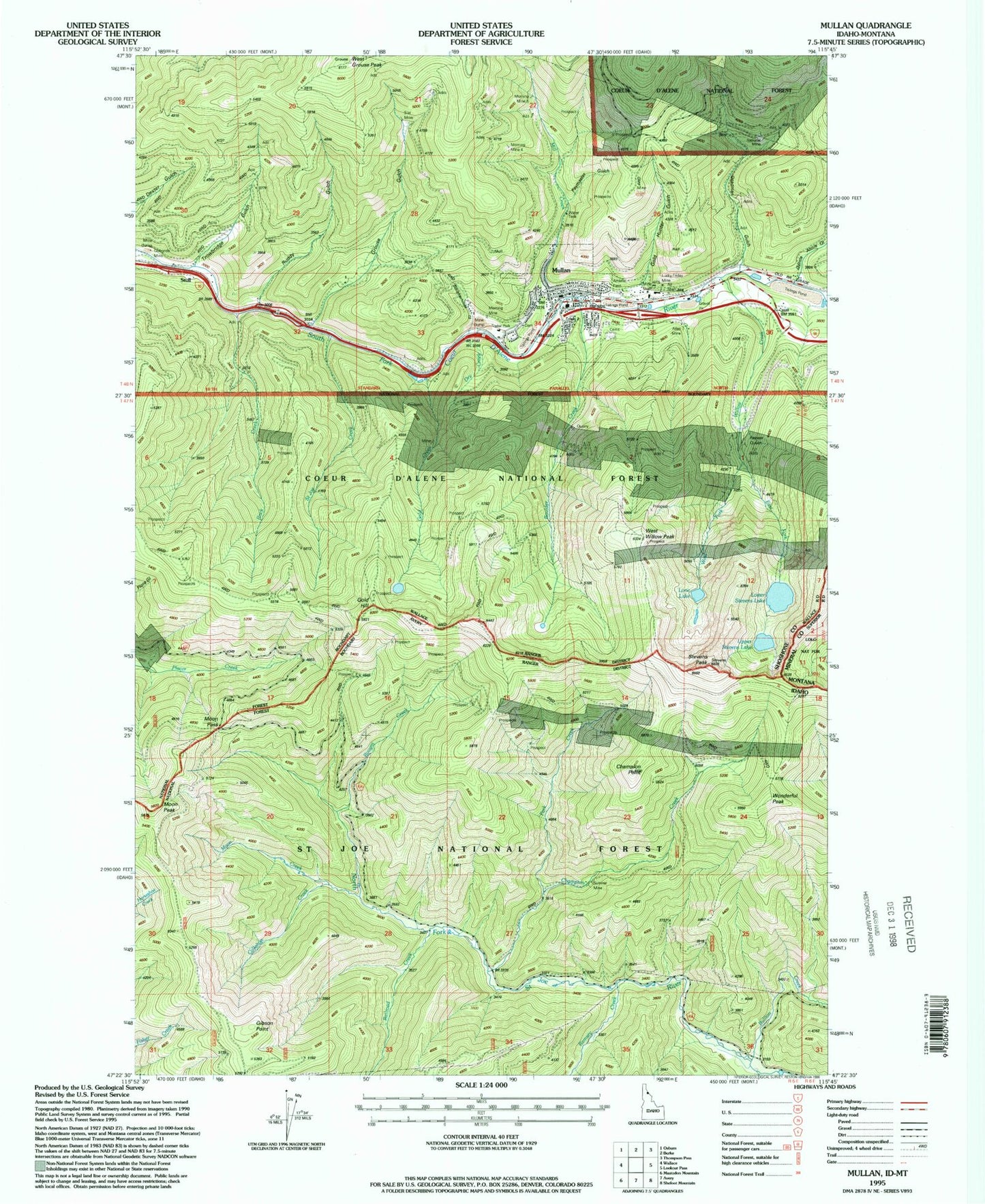
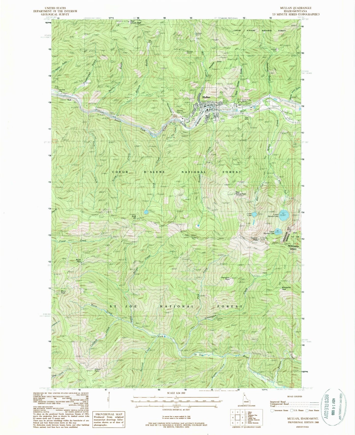
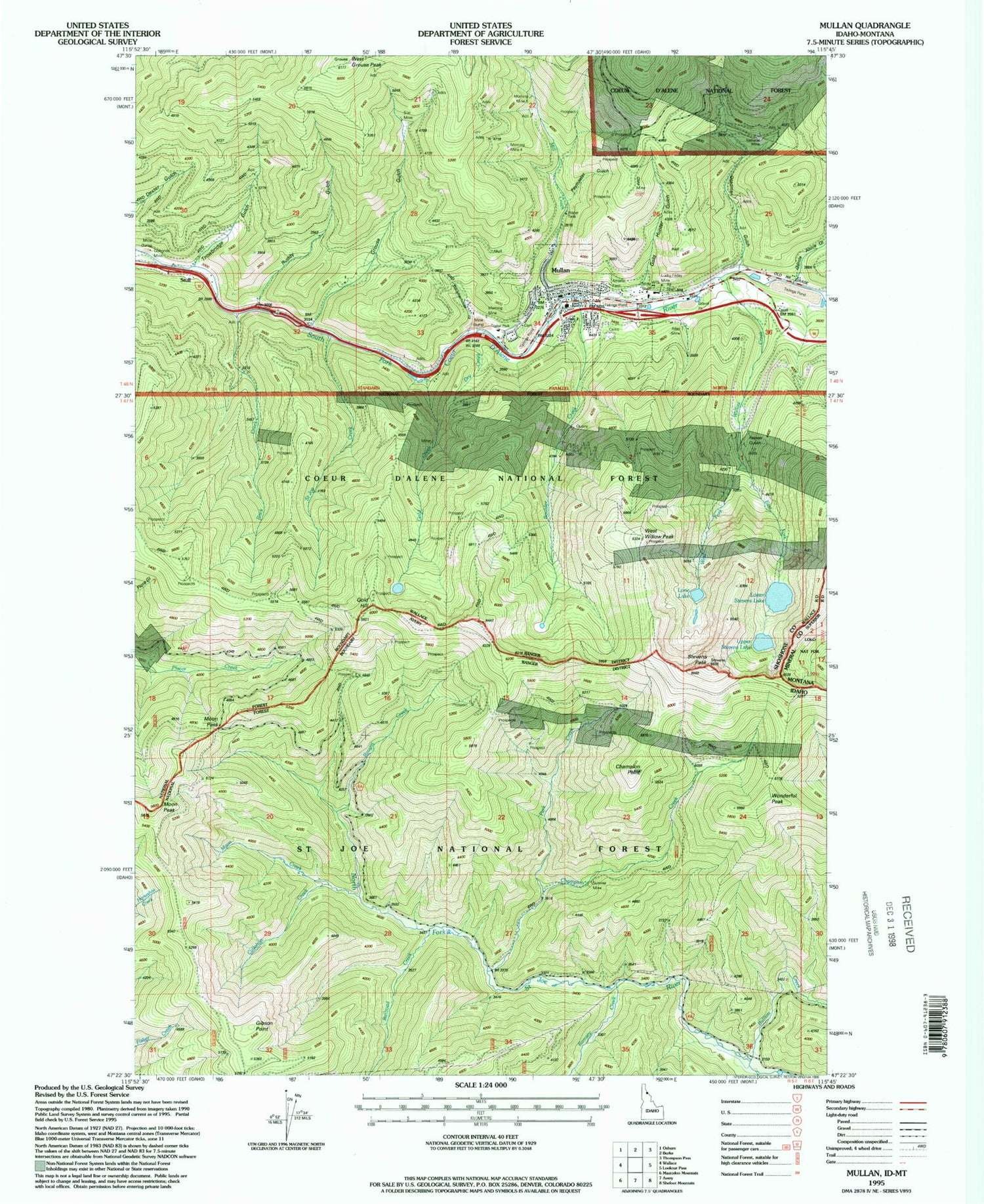
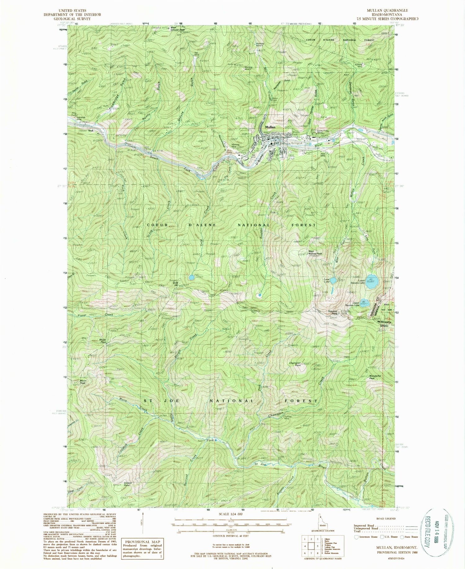
Classic USGS Mullan Idaho 7.5'x7.5' Topo Map
Couldn't load pickup availability
Historical USGS topographic quad map of Mullan in the state of Idaho. Typical map scale is 1:24,000, but may vary for certain years, if available. Print size: 24" x 27"
This quadrangle is in the following counties: Mineral, Shoshone.
The map contains contour lines, roads, rivers, towns, and lakes. Printed on high-quality waterproof paper with UV fade-resistant inks, and shipped rolled.
Contains the following named places: S Bridge, Alice Mine, Bullion Creek, Carbonate Hill Mine, Champion Creek, Champion Point, Coeur d'Alene Saint Joe Divide, Copper King Mine, East Fork Willow Creek, Gentle Annie Gulch, Gibson Point, Gold Hill, Gold Hunter Mine, Lone Lake, Lower Stevens Lake, Lucky Friday Mine, Moon Pass, Moon Peak, Morning Mine, Morning Mine 4, Morning Mine 5, Mullan, National Mine, Paymaster Gulch, Railroad Creek, Ramsey Creek, Reindeer Queen Mine, Rock Creek, Rougin Creek, Saint Joe Creek, Slate Divide Trail, Star Mine, Stevens Peak, Stull, Sumner Mine, Trowbridge Gulch, Upper Stevens Lake, West Fork Willow Creek, West Grouse Peak, Wonderful Peak, Moon Creek, Carbonate (historical), Golconda, St. Joe Mountains, West Willow Peak, Boulder Creek, Callahan Creek, Deadman Gulch, Dry Creek, Gold Creek, Gold Hunter Gulch, Grouse Gulch, Mill Creek, Ruddy Gulch, Slaughterhouse Gulch, Willow Creek, Wonderful Trail, Lucky Friday Number One Dam, Lucky Friday Number Three Dam, Wonder Mine, Park Creek, Lindroos Hill Recreation Site (historical), Mullan Junior - Senior High School, John Mullan Elementary School, Mullan Division, City of Mullan, Mullan Volunteer Fire Department, Shoshone County Fire Protection District 3, IOOF Cemetery, Mountain View Cemetery, Miners Union Cemetery, Mullan Post Office


