
MyTopo
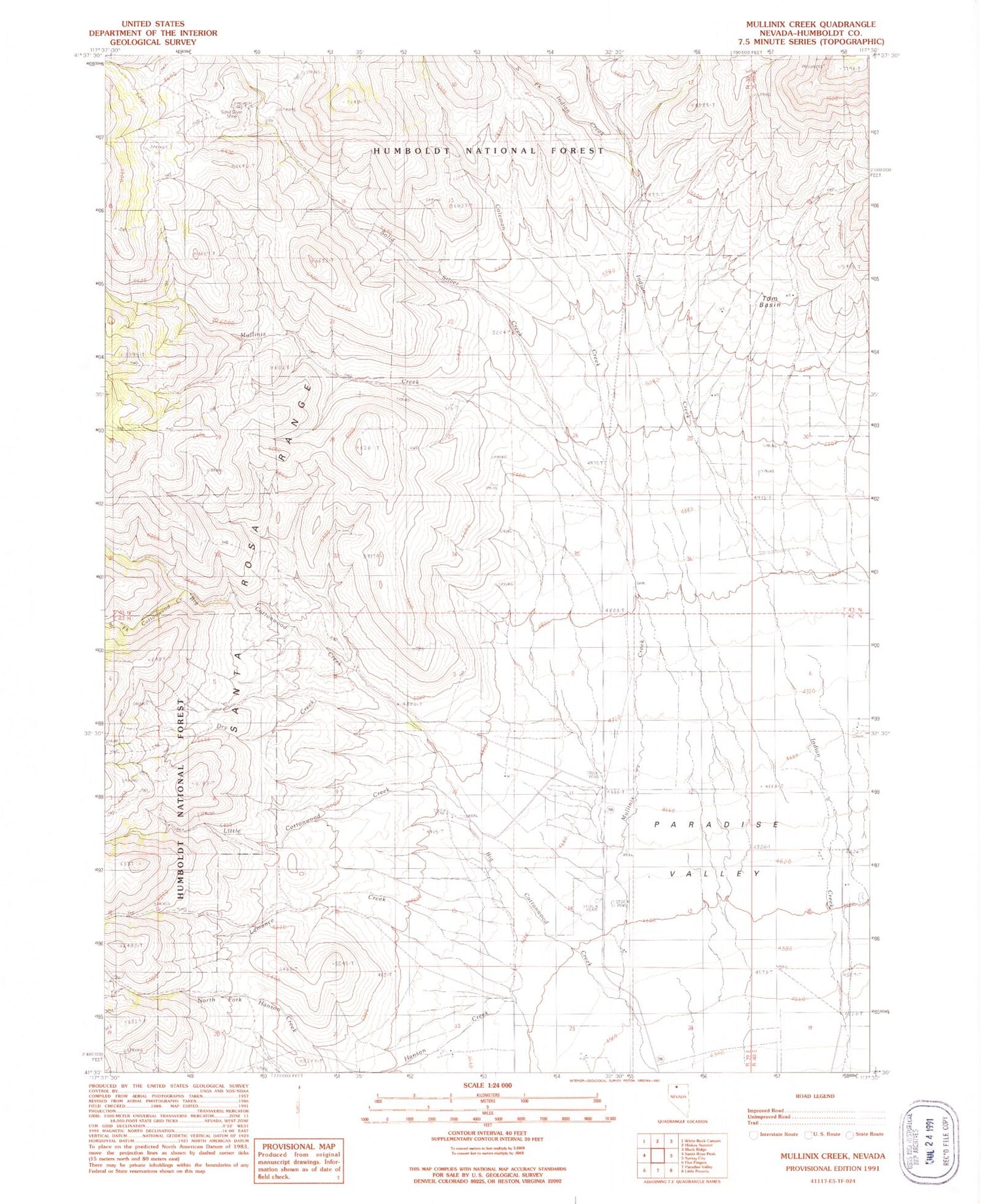
Classic USGS Mullinix Creek Nevada 7.5'x7.5' Topo Map
Couldn't load pickup availability
Historical USGS topographic quad map of Mullinix Creek in the state of Nevada. Map scale may vary for some years, but is generally around 1:24,000. Print size is approximately 24" x 27"
This quadrangle is in the following counties: Humboldt.
The map contains contour lines, roads, rivers, towns, and lakes. Printed on high-quality waterproof paper with UV fade-resistant inks, and shipped rolled.
Contains the following named places: Buckingham Ranch, Buttermilk Creek, Camp Winfield Scott, Coleman Creek, Cottonwood Creek, Dry Creek, Hanson Creek, Indian Creek, Lamance Creek, Little Cottonwood Creek, Lye Ranch, Mullinix Creek, Pasquale Ranch, Reconzone Ranch, Schwartz Ranch, Solid Silver Creek, Solid Silver Mine, South Fork Cottonwood Creek, South Fork Indian Creek, Tom Basin


