MyTopo
Classic USGS Munds Park Arizona 7.5'x7.5' Topo Map
Couldn't load pickup availability
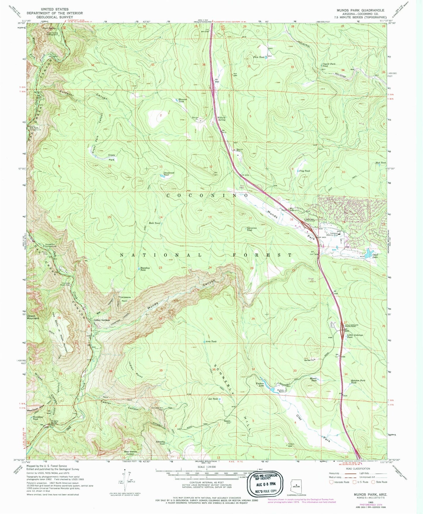
Historical USGS topographic quad map of Munds Park in the state of Arizona. Typical map scale is 1:24,000, but may vary for certain years, if available. Print size: 24" x 27"
This quadrangle is in the following counties: Coconino.
The map contains contour lines, roads, rivers, towns, and lakes. Printed on high-quality waterproof paper with UV fade-resistant inks, and shipped rolled.
Contains the following named places: A B Young Trail, Arts Tank, Bee Canyon, Blowout Tank, Casner Canyon, Cave Spring, Cave Spring Campground, Clay Park, Coyote Park Tank, Crazy Park, Crazy Park Canyon, Deadwood Tank, Encinoso Picnic Area, Fern Tank, First Bench of Wilson Mountain, Fox Tank, Foxboro Lake, Foxboro Ranch, Frog Tank, Geronimo Tank, Indian Gardens, Indian Point, Lee Tank, Manzanita Campground, Mason Tank, Merry-Go-Round, Midgley Bridge, Mud Tank, Munds Canyon, Munds Park, Munds Park, Oak Creek Canyon, Odell Lake, Rock Tank, Roundup Tank, Schnebly Hill, Schnebly Hill Vista, Schnebly Tank, Skeleton Park Tank, Steamboat Tank, Surveyor Canyon, Thompson Ladder, Thompsons Point, West Fork Oak Creek, Willard Spring, Wilson Canyon, Wilson Mountain Trail, Casner Canyon Eleven Trail, Crazy Park Tank, Foxboro Lake Dam, Geronimo Number Two Tank, Grasshopper Point, Midgely Bridge Picnic Area, Munds Park Rest Area, Munds Park Substation, Odell Dam, Schnebly Number Two Tank, Telephone Tank, Thomas Point Tank, Thompsons Ladder Fourteen, Munds Tank, School House Picnic Ground, Pinewood Country Club, Grasshopper Point Campground, Oakwood Country Club, KQST-FM (Sedona), Beacon Tank, Stuck Tank, Clay Tank, Willard Mountain Tank, Camp Tank, Powerline Tank, Fenceline Tank, Section Sixteen Tank, Fixup Tank, Super Tank, Rocky Tank, Hope Tank, Coyote Tank, Canyon Tank, Munds Park Census Designated Place, Hoels Wash, Rainbow Trailer Park, Munds Park Post Office, Munds Park Community Church, Pinewood Fire Department, Sedona Fire District Station 5


