MyTopo
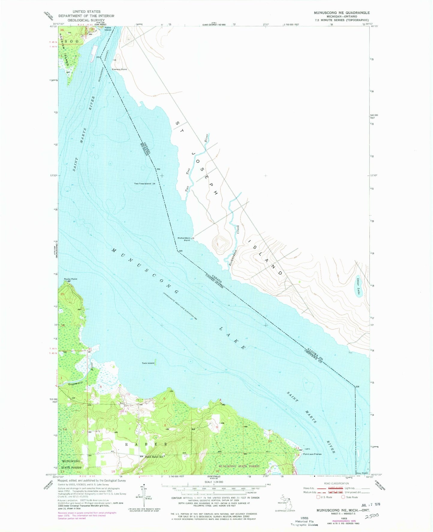
Classic USGS Munuscong NE Michigan 7.5'x7.5' Topo Map
Regular price
$16.95
Regular price
Sale price
$16.95
Unit price
per
Couldn't load pickup availability
Historical USGS topographic quad map of Munuscong NE in the state of Michigan. Map scale may vary for some years, but is generally around 1:24,000. Print size is approximately 24" x 27"
This quadrangle is in the following counties: Chippewa.
The map contains contour lines, roads, rivers, towns, and lakes. Printed on high-quality waterproof paper with UV fade-resistant inks, and shipped rolled.
Contains the following named places: Gogomain River, Johnston Family Cemetery, Johnston Homesite Historical Marker, LeJas Resort Ramp, North Raber School, Point aux Frenes, Rocky Point, Twin Island, Two Tree Island