MyTopo
Classic USGS Munuscong Michigan 7.5'x7.5' Topo Map
Couldn't load pickup availability
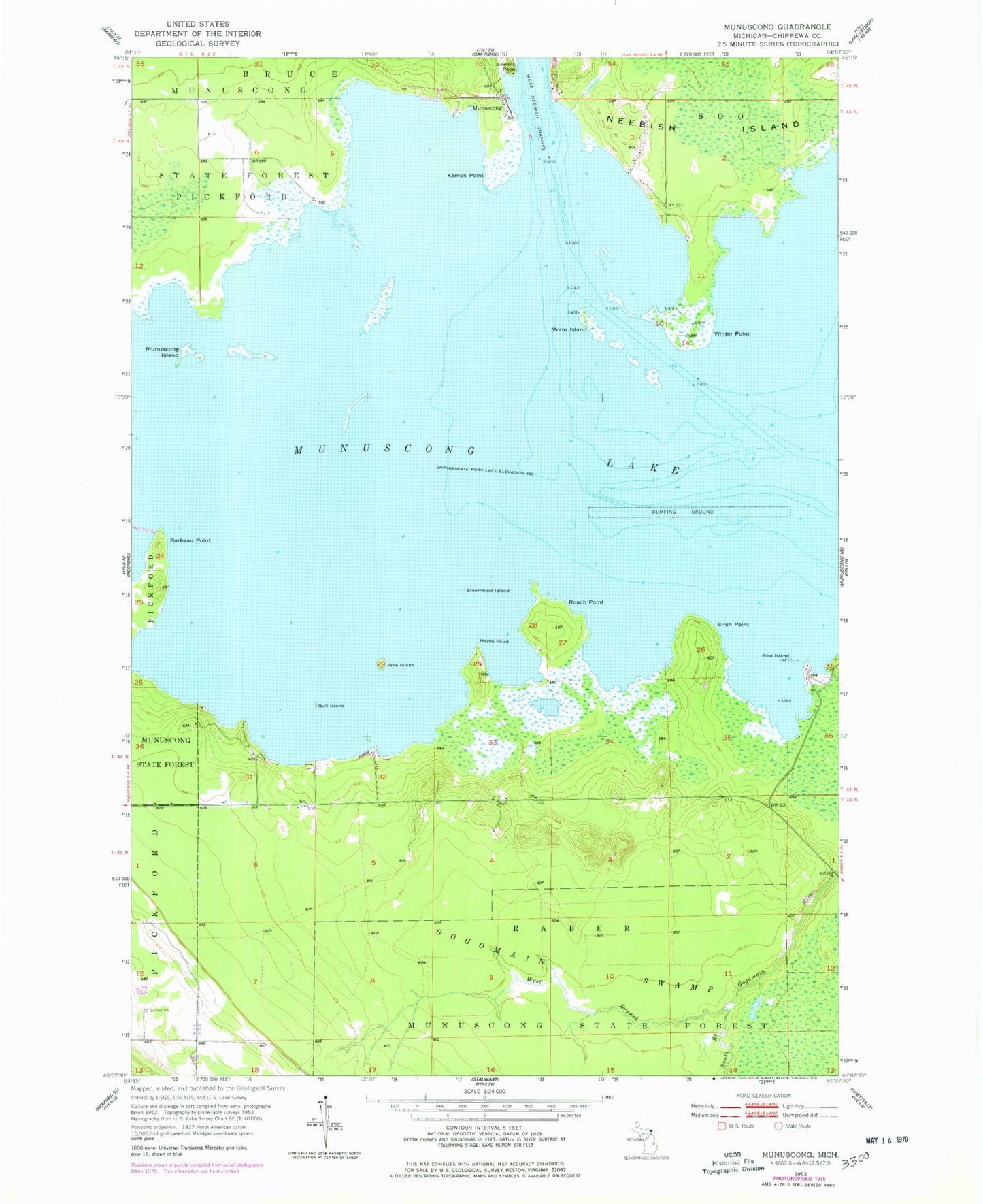
Historical USGS topographic quad map of Munuscong in the state of Michigan. Map scale may vary for some years, but is generally around 1:24,000. Print size is approximately 24" x 27"
This quadrangle is in the following counties: Chippewa.
The map contains contour lines, roads, rivers, towns, and lakes. Printed on high-quality waterproof paper with UV fade-resistant inks, and shipped rolled.
Contains the following named places: Barbeau Point, Birch Point, Gull Island, Jens Rustic Resort, Kemps Point, Maple Point, Moon Island, Moon Island Leading Light, Munuscong, Munuscong Island, Munuscong Lake, Munuscong Post Office, Munuscong State Forest, Nunuscong Post Office, Pilot Island, Pine Island, Roach Point, Sawmill Point, South Branch Gogomain River, Steamboat Island, West Branch Gogomain River, Winter Point, Winter Point Range