MyTopo
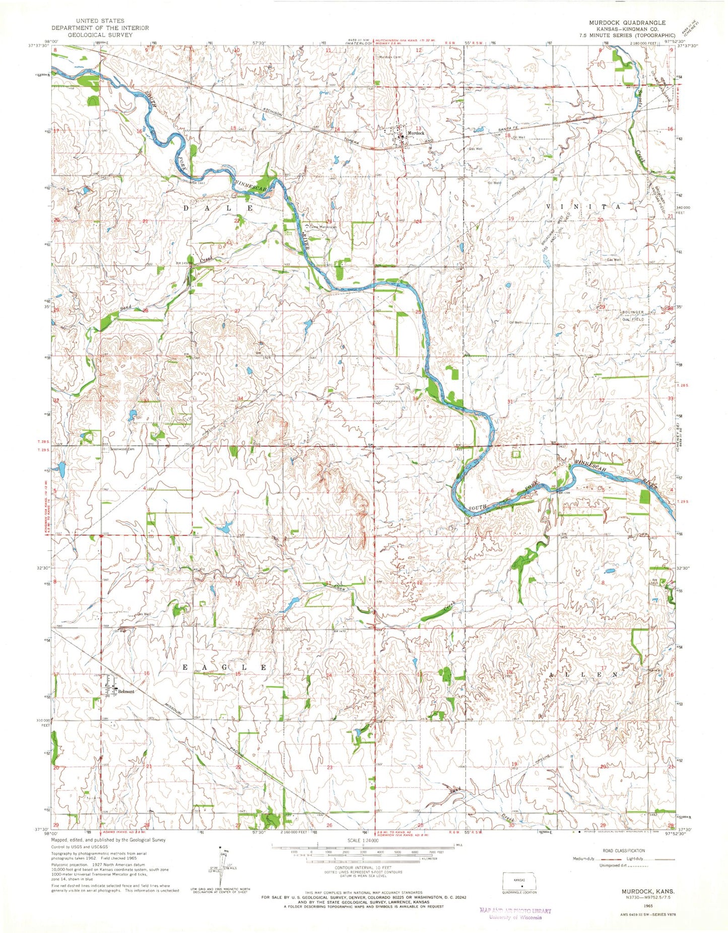
Classic USGS Murdock Kansas 7.5'x7.5' Topo Map
Couldn't load pickup availability
Historical USGS topographic quad map of Murdock in the state of Kansas. Map scale may vary for some years, but is generally around 1:24,000. Print size is approximately 24" x 27"
This quadrangle is in the following counties: Kingman.
The map contains contour lines, roads, rivers, towns, and lakes. Printed on high-quality waterproof paper with UV fade-resistant inks, and shipped rolled.
Contains the following named places: Belmont, Bolinger Oil Field, Broadway West Oil and Gas Field, Camp Mennoscah, Coon Creek, Dale School, Dewey School, Eagle School, Fairview School, Golden Rule School, Greenwood Cemetery, Mabel, Murdock, Murdock Cemetery, Murdock Census Designated Place, Murdock Elementary School, Murdock Post Office, Pleasant Hill School, Sand Creek, Township of Dale, Township of Eagle, ZIP Code: 67111