MyTopo
Classic USGS Murfreesboro Arkansas 7.5'x7.5' Topo Map
Couldn't load pickup availability
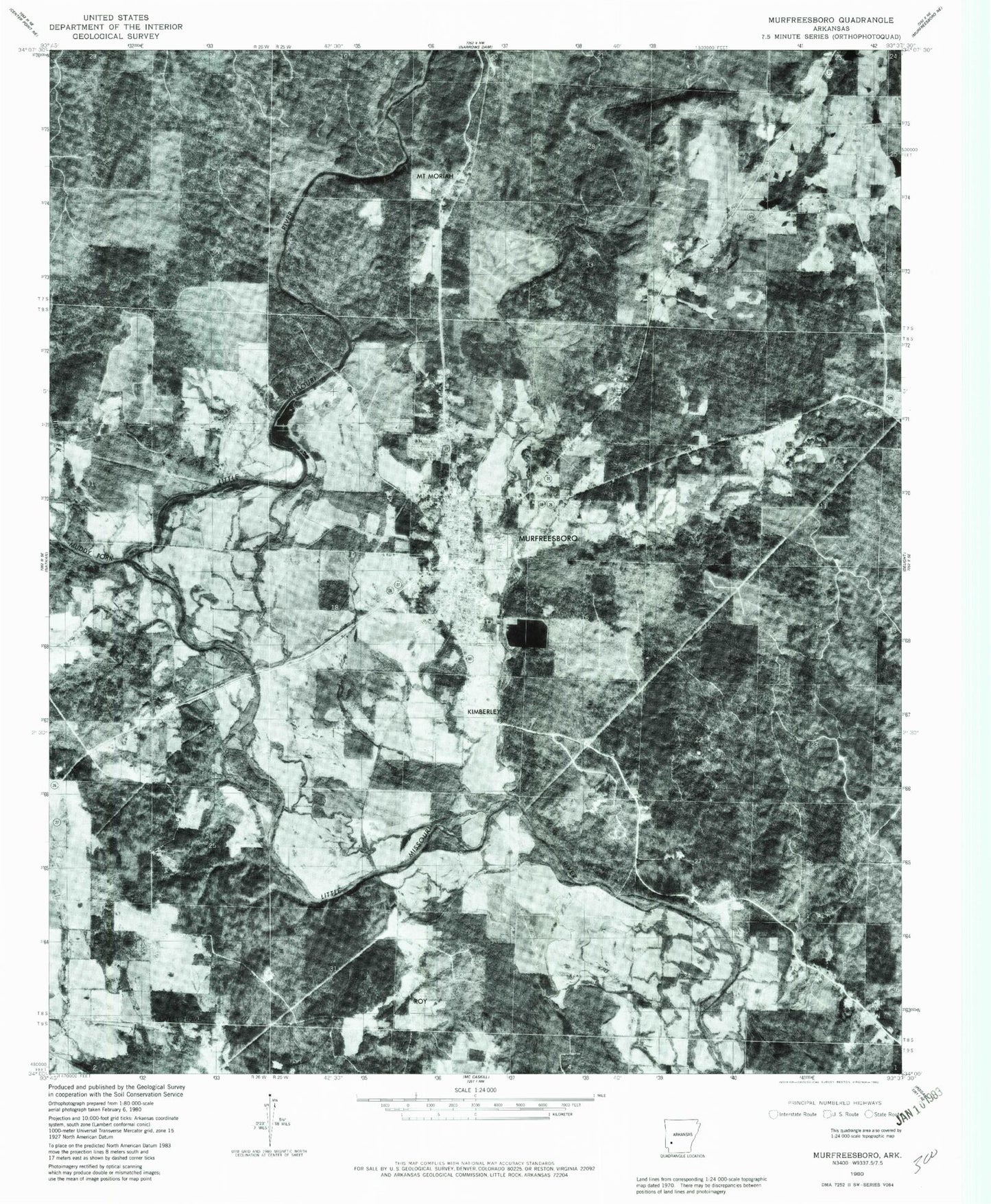
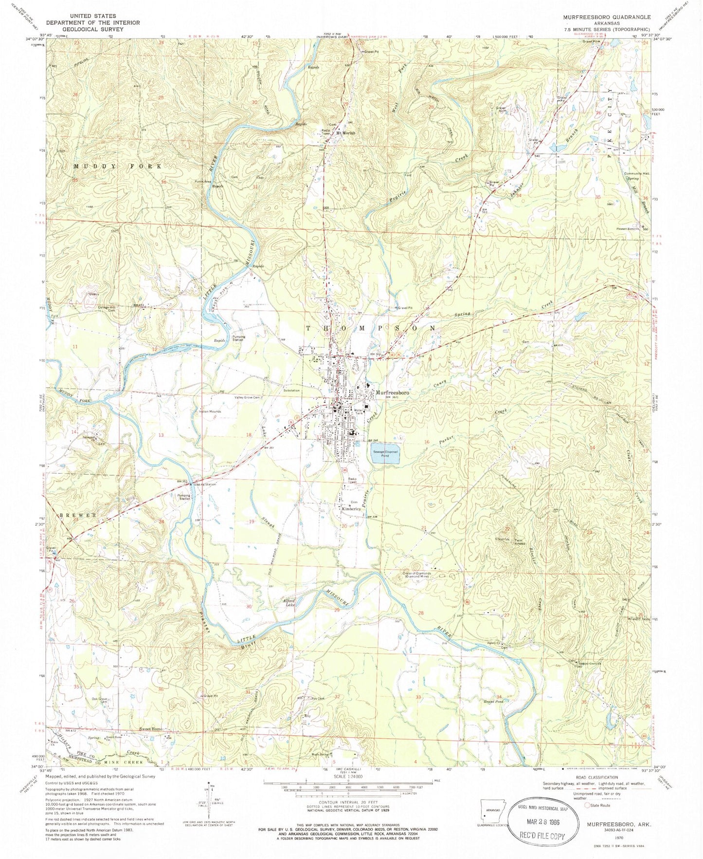
Historical USGS topographic quad map of Murfreesboro in the state of Arkansas. Map scale may vary for some years, but is generally around 1:24,000. Print size is approximately 24" x 27"
This quadrangle is in the following counties: Hempstead, Pike.
The map contains contour lines, roads, rivers, towns, and lakes. Printed on high-quality waterproof paper with UV fade-resistant inks, and shipped rolled.
Contains the following named places: Alford Lake, American Mine, Arkansas Mine, Arp, Ball, Blocker Creek, Caney Creek, City of Murfreesboro, College Hill Cemetery, Crater of Diamonds, Crater of Diamonds State Park, East Hill, Emergency Medical Transport, Hickory Grove Church, Japany Church, Johnson Branch, Kimberley, Kimberlite Mine, KMTB-FM (Murfreesboro), Lake Slough, Maple Springs Baptist Church, Mauney Mine, Maxwell, Middle Hill, Mount Moriah, Mount Moriah Field, Mount Moriah Missionary Baptist Church, Muddy Fork, Murfreesboro, Murfreesboro Cemetery, Murfreesboro Elementary School, Murfreesboro Fire Station, Murfreesboro High School, Murfreesboro Police Department, Murfreesboro Post Office, Oak Grove Cemetery, Ozark Mine, Parker Creek, Pike County Courthouse, Pike County Hospital Heliport, Pike County Memorial Hospital, Pike County Sheriff's Office, Plaster Bluff, Pleasant Home, Pleasant Home Church, Poorhouse Branch, Prairie Creek, Round Pond, Roy, Roy Cemetery, Spring Creek, Spring Hill Missionary Baptist Church, Stephenson, Sweet Home, Sweet Home Church, Tokio Church, Township of Thompson, Twin Knobs, Valley Grove Cemetery, West Fork Prairie Creek, West Hill, Womack Lake, Womack Lake Dam, ZIP Code: 71958