MyTopo
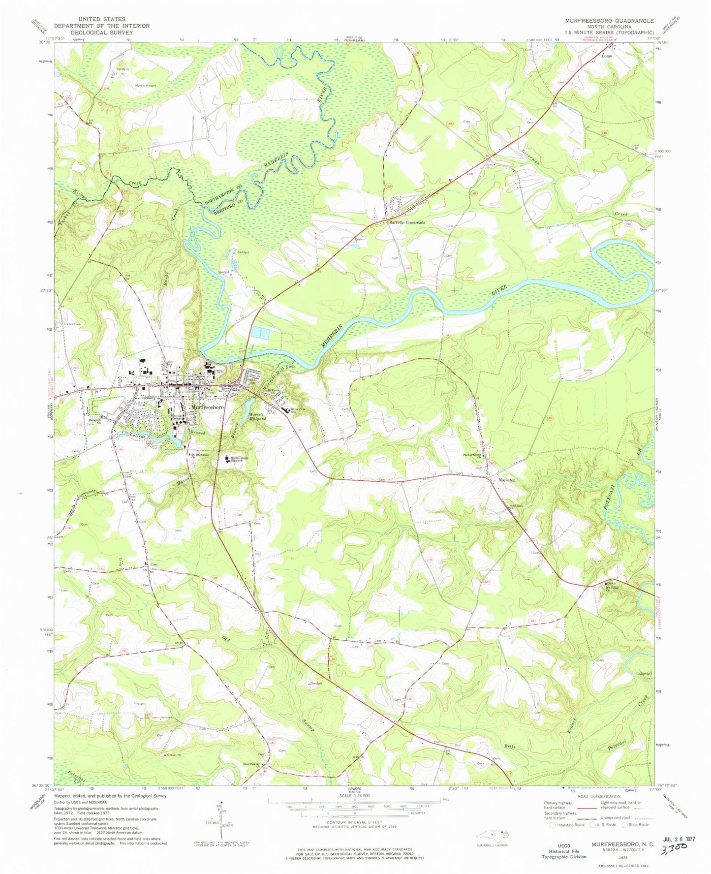
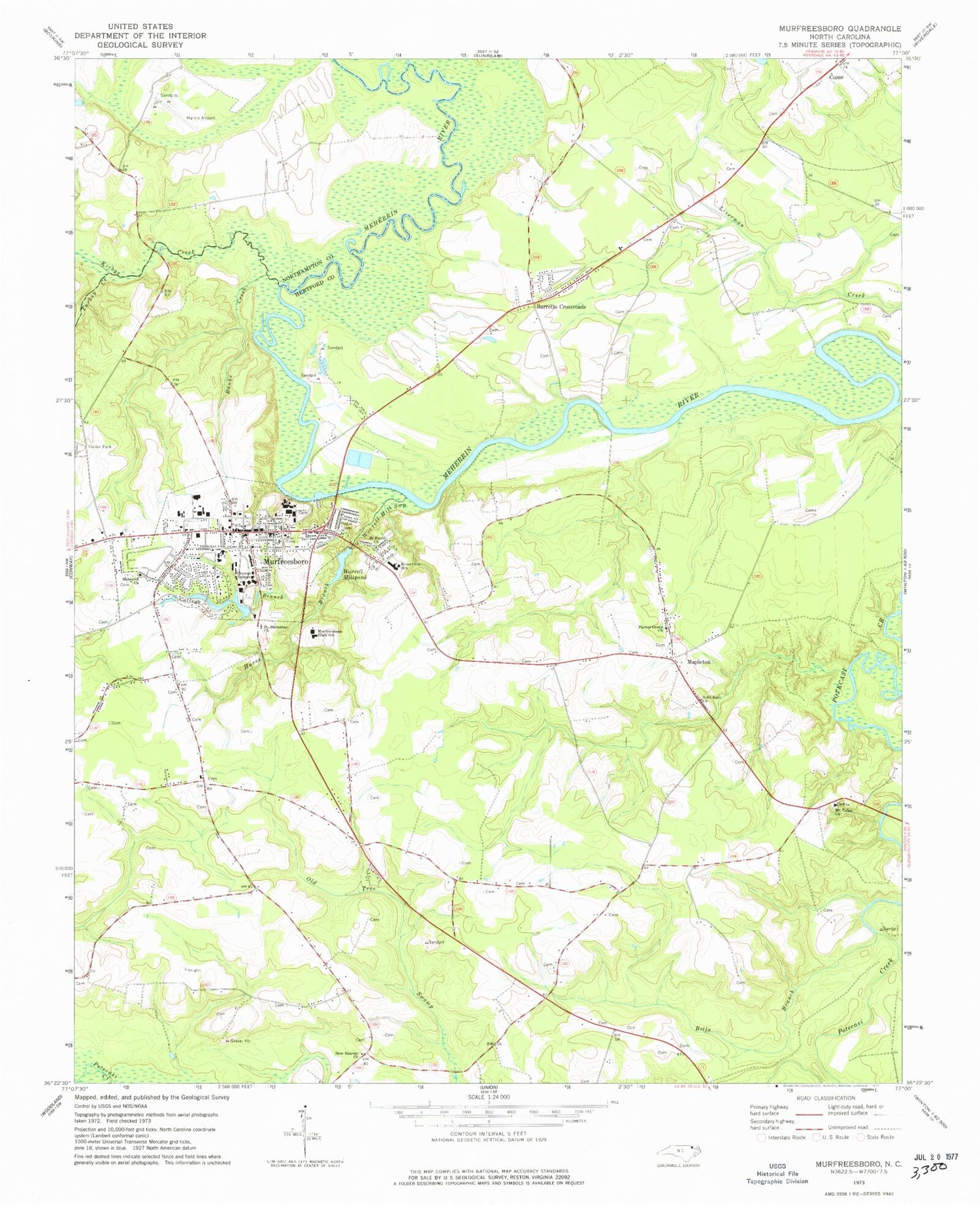
Classic USGS Murfreesboro North Carolina 7.5'x7.5' Topo Map
Couldn't load pickup availability
Historical USGS topographic quad map of Murfreesboro in the state of North Carolina. Map scale may vary for some years, but is generally around 1:24,000. Print size is approximately 24" x 27"
This quadrangle is in the following counties: Hertford, Northampton.
The map contains contour lines, roads, rivers, towns, and lakes. Printed on high-quality waterproof paper with UV fade-resistant inks, and shipped rolled.
Contains the following named places: Banks Creek, Barretts Crossroads, Bells Branch, Buena Vista, Chittys Store, Chowan University, Chowan University - McDowell Columns Hall, Chowan University - Robert Marks Hall, Chowan University - Belk Residence Hall, Chowan University - Camp Hall, Chowan University - Daniel Hall, Chowan University - Dunn Residence Hall, Chowan University - Green Hall, Chowan University - Hawks Nest Student Center, Chowan University - Helms Center, Chowan University - Horner Graphics Center, Chowan University - Jenkins Center, Chowan University - McSweeny Hall, Chowan University - Mixon Residence Hall, Chowan University - Parker Residence Hall, Chowan University - Penny Hall, Chowan University - Simons Residence Hall, Chowan University - Whitaker Library, College Branch, Griffith Landing, Hares Branch, High Hill, Hills Bridge, Hills Ferry, Kirbys Creek, Mapleton, Meherrin Church, Mount Tabor Church, Murfreesboro, Murfreesboro Fire Department, Murfreesboro High School, Murfreesboro Police Department, Murfreesboro Post Office, Murfreesboro Rescue Squad, New Heaven Church, Parker Grove Church, Princeton, Riverview Elementary School, Saint Barnabas Church, Saint Pauls Church, Sears Wharf, Shell Landing, Skinners Bridge Landing, Solid Rock Church, Town of Murfreesboro, Township of Murfreesboro, Turkey Creek, Whorrells Millpond Dam, Worrell Landing, Worrell Mill Swamp, Worrell Millpond, ZIP Codes: 27818, 27855


