MyTopo
Classic USGS Murph Draw Texas 7.5'x7.5' Topo Map
Regular price
$16.95
Regular price
Sale price
$16.95
Unit price
per
Couldn't load pickup availability
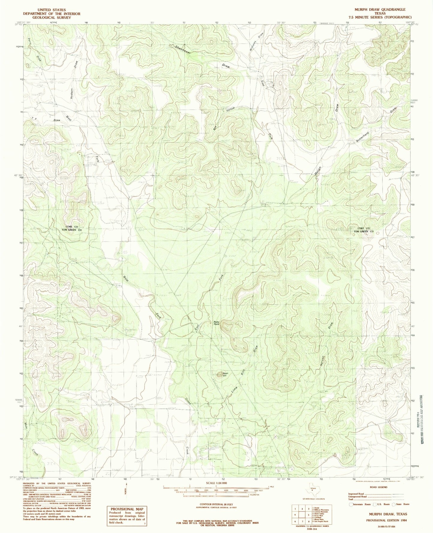
Historical USGS topographic quad map of Murph Draw in the state of Texas. Map scale may vary for some years, but is generally around 1:24,000. Print size is approximately 24" x 27"
This quadrangle is in the following counties: Coke, Tom Green.
The map contains contour lines, roads, rivers, towns, and lakes. Printed on high-quality waterproof paper with UV fade-resistant inks, and shipped rolled.
Contains the following named places: Bean Hill, Bee Hollow, Butterfield Draw, East Fork Grape Creek, Hudson Draw, Lime Kiln Draw, Murph Draw, Narvell Draw, Perry Draw, Ruby Point, Scrub Oak Ranch, Shoonover Draw, T F Draw, West Fork Grape Creek, Williams Draw