MyTopo
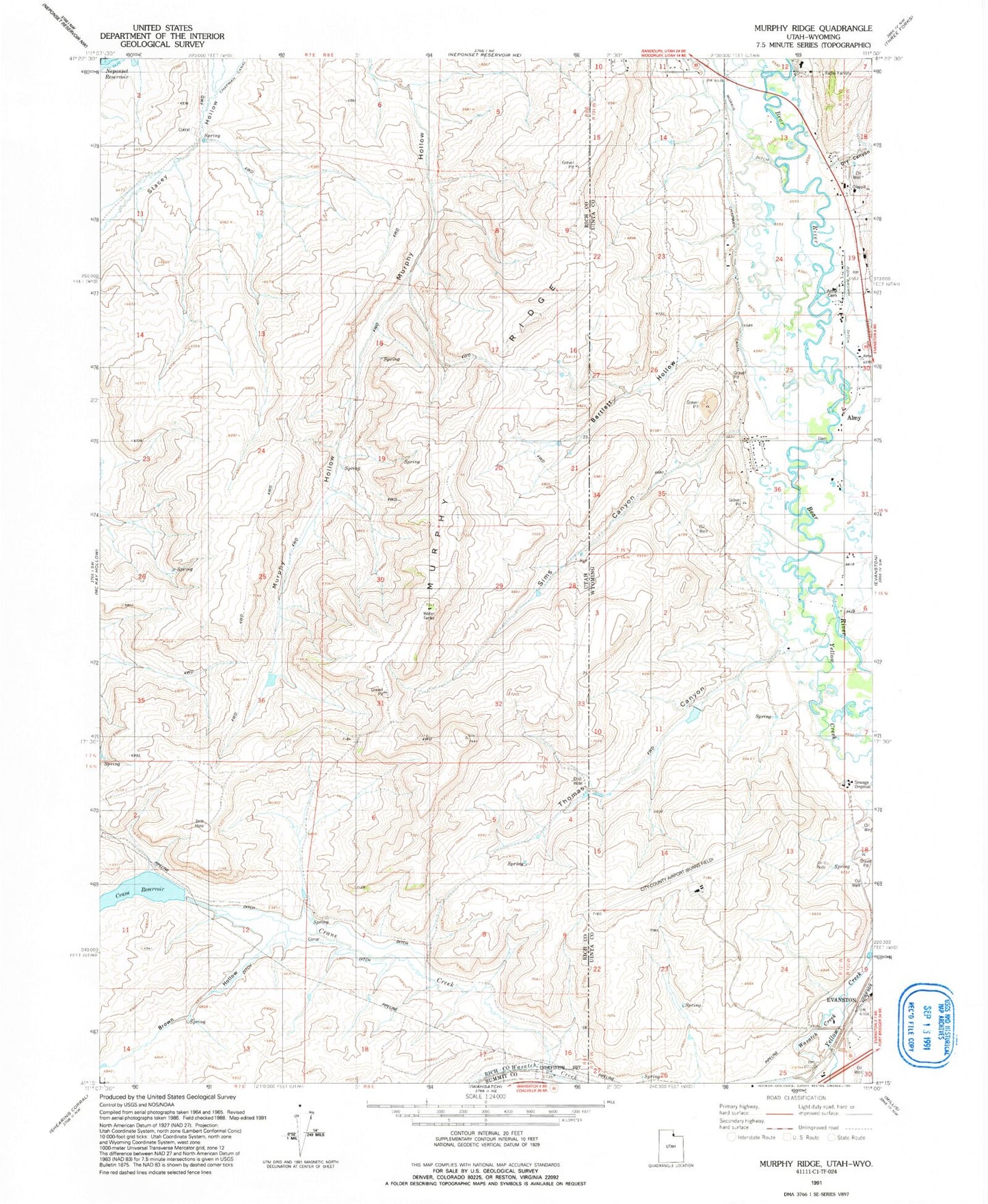
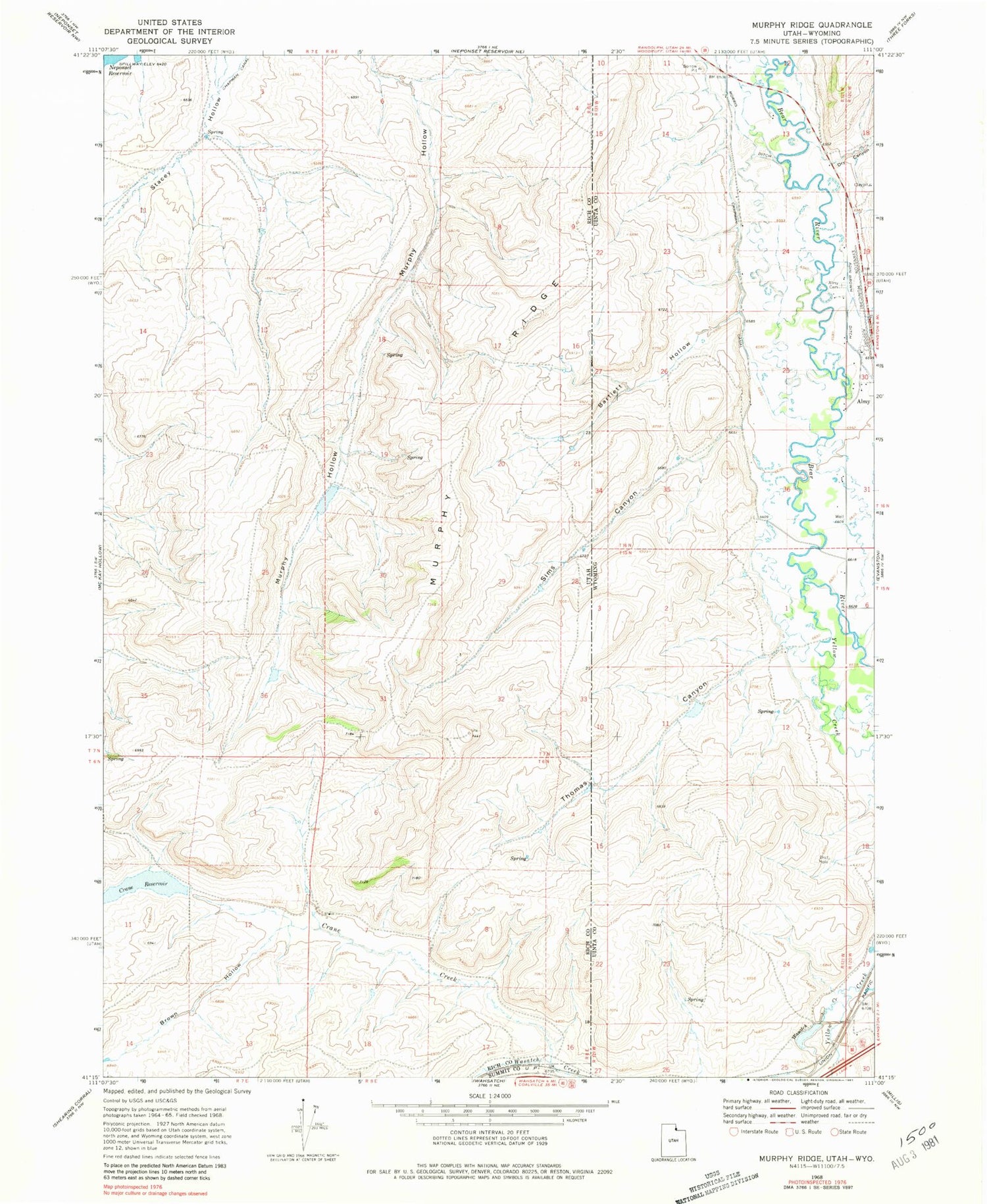
Classic USGS Murphy Ridge Utah 7.5'x7.5' Topo Map
Couldn't load pickup availability
Historical USGS topographic quad map of Murphy Ridge in the states of Utah, Wyoming. Map scale may vary for some years, but is generally around 1:24,000. Print size is approximately 24" x 27"
This quadrangle is in the following counties: Rich, Summit, Uinta.
The map contains contour lines, roads, rivers, towns, and lakes. Printed on high-quality waterproof paper with UV fade-resistant inks, and shipped rolled.
Contains the following named places: Adin Brown Ditch, Almy, Almy Cemetery, Almy Number Seven Mine, Almy Number Six Mine, Bartlett Hollow, Brown Hollow, Chesney Dam, Chesney Reservoir, Crane Creek, Crane Reservoir, Dry Canyon, Evanston-Uinta County Airport Burns Field, KEVA-AM (Evanston), Morris Ditch, Murphy Ridge, Red Canyon Creek, Sims Canyon, Thomas Canyon, Wasatch Creek, Wyuta, Yellow Creek