MyTopo
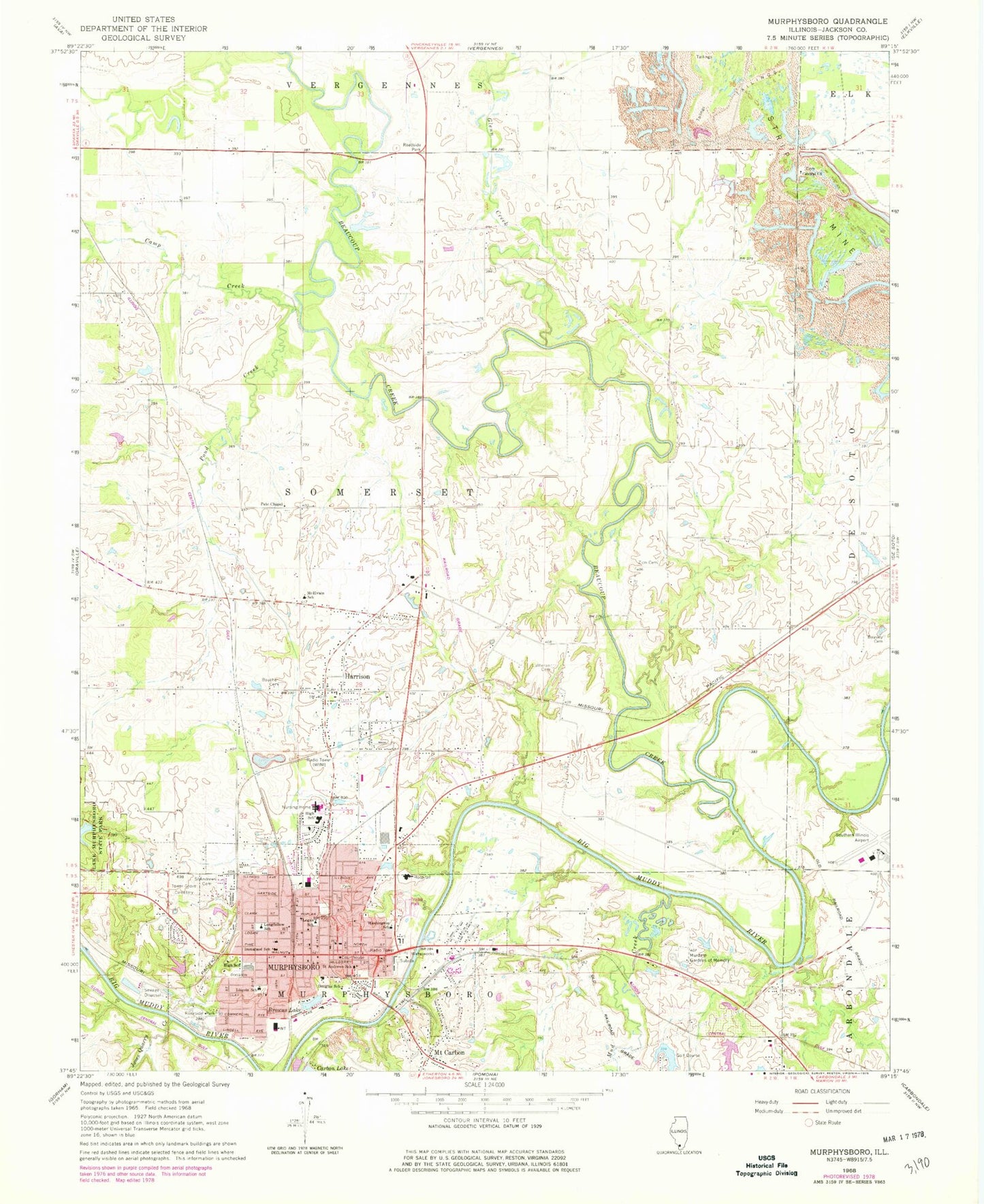
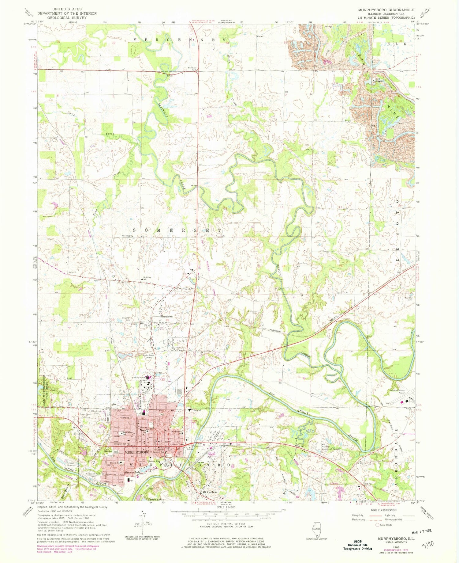
Classic USGS Murphysboro Illinois 7.5'x7.5' Topo Map
Couldn't load pickup availability
Historical USGS topographic quad map of Murphysboro in the state of Illinois. Map scale may vary for some years, but is generally around 1:24,000. Print size is approximately 24" x 27"
This quadrangle is in the following counties: Jackson.
The map contains contour lines, roads, rivers, towns, and lakes. Printed on high-quality waterproof paper with UV fade-resistant inks, and shipped rolled.
Contains the following named places: Bandy School, Barr, Beasley Cemetery, Beaucoup Creek, Borgsmiller Lake, Boucher Cemetery, Browns Lake, Camp Creek, Carruthers Elementary School, Central Cemetery, Central Church, City of Murphysboro, Douglas School, Finney, First Presbyterian Church, Glenn Creek, Grange Hall, Harrison, Harrison Census Designated Place, Hickory Grove Picnic Area, Immanuel Lutheran Cemetery, Immanuel Lutheran School, Jackson County Ambulance Service, Jackson County Courthouse, Jackson County Jail, Jackson County Sheriff's Department, Jones Quarry Creek, Lake Henry, Lake Henry Dam, Liberty Street Baptist Church, Lincoln Elementary School, Logan Elementary School, Longfellow School, Manning Prairie School, McElvain Elementary School, Mount Carbon, Mud Creek, Murdale Gardens of Memory, Murphysboro, Murphysboro - Pomona - Somerset Fire Protection District, Murphysboro City Cemetery, Murphysboro Fire Department Station 1, Murphysboro Fire Department Station 2, Murphysboro Middle School, Murphysboro Police Department, Murphysboro Post Office, Murphysboro Township High School, Pate Chapel Baptist Church, Pond Creek, Riverside Park, Saint Andrews Catholic Church, Saint Andrews Cemetery, Saint Andrews School, Saint Joseph Memorial Hospital Heliport, Saint Peters United Church of Christ, SIH Saint Joseph Memorial Hospital, Southern Illinois Airport, Southern Illinois Regional Landfill, Texas Junction, Tower Grove Cemetery, Township of Somerset, Washington School, WTAO-FM (Murphysboro), Zion Lutheran Cemetery, ZIP Code: 62966


