MyTopo
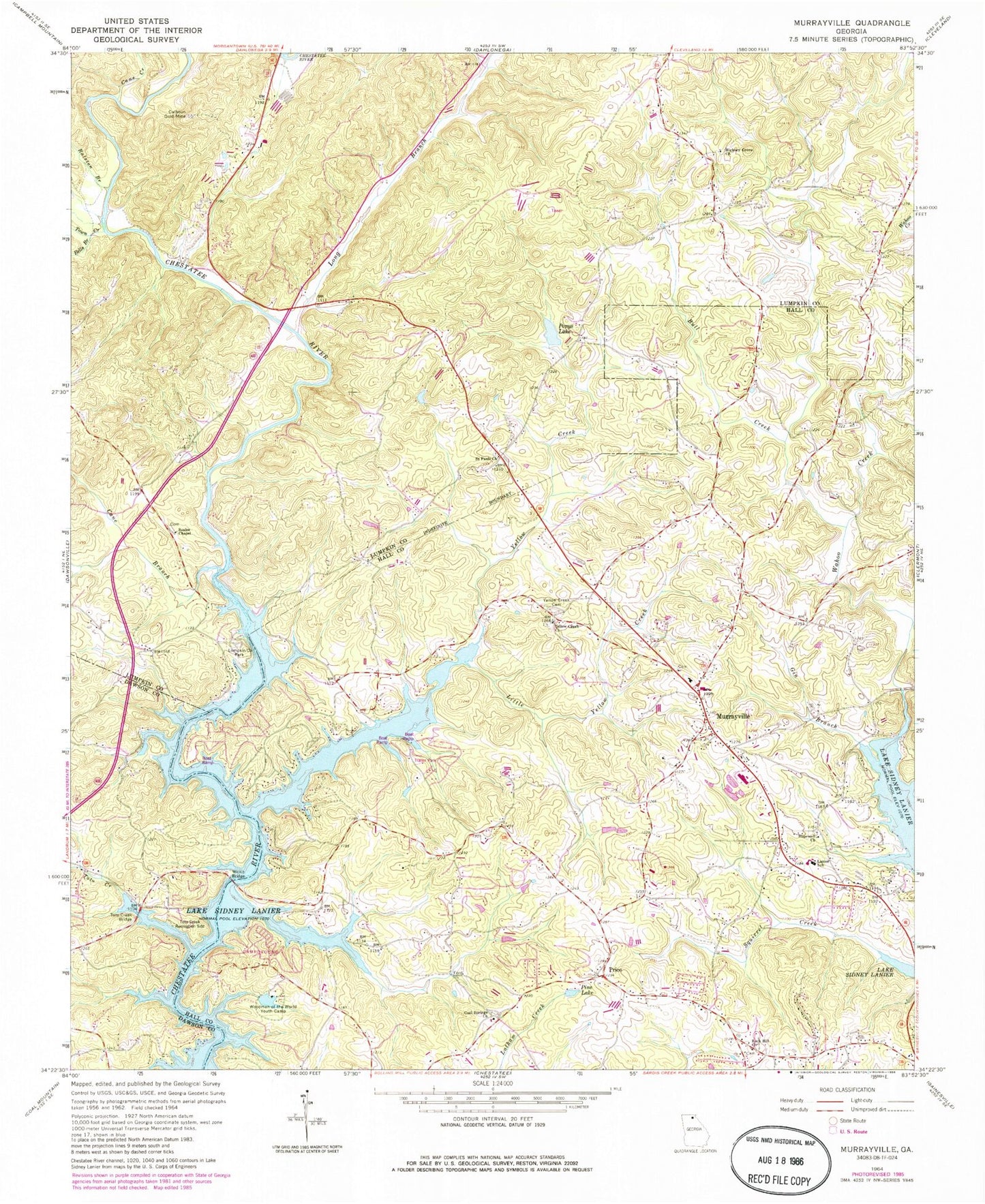
Classic USGS Murrayville Georgia 7.5'x7.5' Topo Map
Couldn't load pickup availability
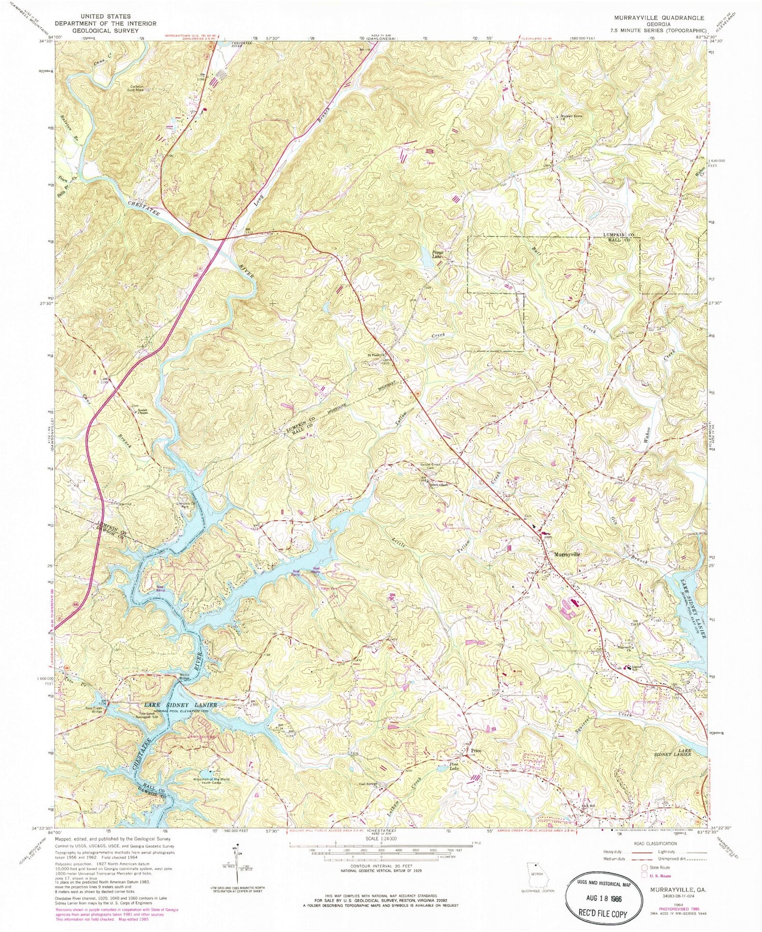
Historical USGS topographic quad map of Murrayville in the state of Georgia. Typical map scale is 1:24,000, but may vary for certain years, if available. Print size: 24" x 27"
This quadrangle is in the following counties: Dawson, Hall, Lumpkin.
The map contains contour lines, roads, rivers, towns, and lakes. Printed on high-quality waterproof paper with UV fade-resistant inks, and shipped rolled.
Contains the following named places: Bells Branch, Bull Creek, Calhoun Gold Mine, Cane Branch, Gin Branch, Hickory Grove Church, Hopewell Church, Lanier Elementary School, Little Yellow Creek, Lumpkin Company Park, Pine Lake, Ponys Lake, Ralston Branch, Rock Hill Church, Saint Pauls Church, Soules Chapel, Toto Creek, Toto Creek Access Point, Toto Creek Bridge, Town Creek, Wilkie Bridge, Woodmen of the World Youth Camp, Yellow Creek, Yellow Creek Cemetery, Yellow Creek Church, Long Branch, Murrayville, Price, Ponys Lake Dam, Woodmen Youth Camp Dam, Woodmen Youth Camp Lake, Ponys Lake Dam, Cane Creek, Cool Springs Church, Albert (historical), Brierpatch Bridge (historical), Calhoun Dam (historical), Enon Church, Fairview School (historical), Halfway (historical), Maranantha Church, Mount Olive Church, Turkey Hill Mine, Turkey Hill, Bark Camp Place, Belvedere Acres, Big Oak, Broadnax, Calvary Church, Cool Springs Baptist Church Cemetery, Cool Springs Forest, Elrod, Grant Ford (historical), Howser Mill (historical), Indian Hills, Lake Shore, Leisure Lake, Lighthouse Church, Marlow, Mountain View, Murrayville Church, Murrayville Church, Murrayville Holiness Church, North Forest, Northlake Church, Price School (historical), Rock Hill Congregational Cemetery, Sardis Heights, Split Oak Creek, Timberidge, Wahoo Forest, Wahoo Valley, Welchell, Wilkie Ford (historical), New Bridge (historical), Murrayville Division, Dahlonega Quarry, Hall County Fire Station 3, Hall County Fire Station 11, Murrayville Post Office, Yellow Creek Baptist Cemetery


