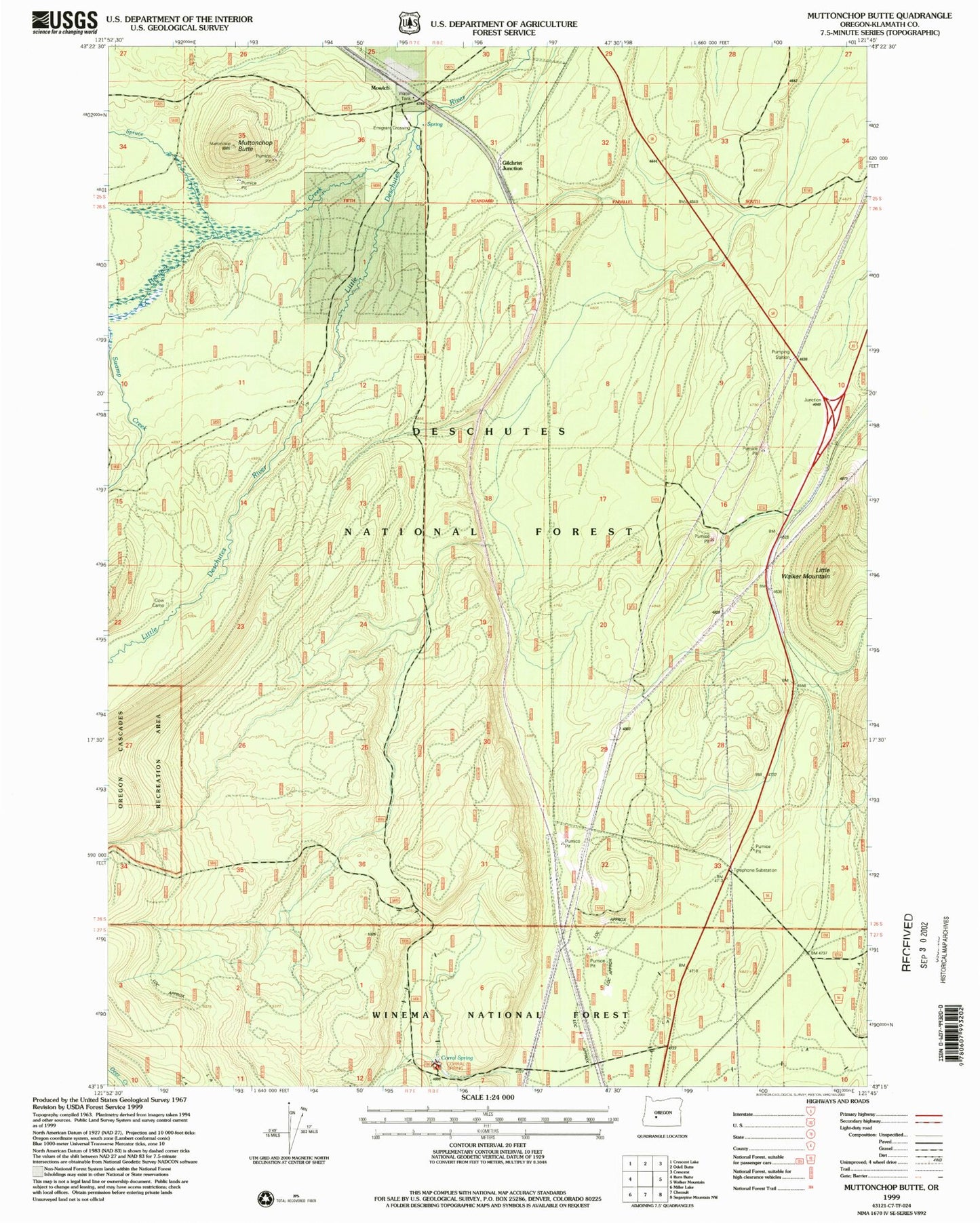
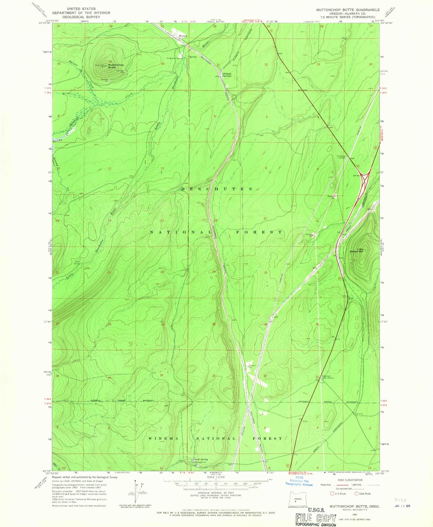
MyTopo
Classic USGS Muttonchop Butte Oregon 7.5'x7.5' Topo Map
Couldn't load pickup availability
Historical USGS topographic quad map of Muttonchop Butte in the state of Oregon. Map scale may vary for some years, but is generally around 1:24,000. Print size is approximately 24" x 27"
This quadrangle is in the following counties: Klamath.
The map contains contour lines, roads, rivers, towns, and lakes. Printed on high-quality waterproof paper with UV fade-resistant inks, and shipped rolled.
Contains the following named places: Chemult Rural Fire Protection District Station 2, Corral, Corral Spring, Corral Springs Recreation Site, Cow Camp, Crescent Lake Division, Emigrant Crossing, Gilchrist Junction, Hemlock Creek, Little Walker Mountain, Mowich, Mowich Post Office, Muttonchop Butte, Pacific Telephone and Telegraph Substation, Paunina, Spruce Creek, Swamp Creek