MyTopo
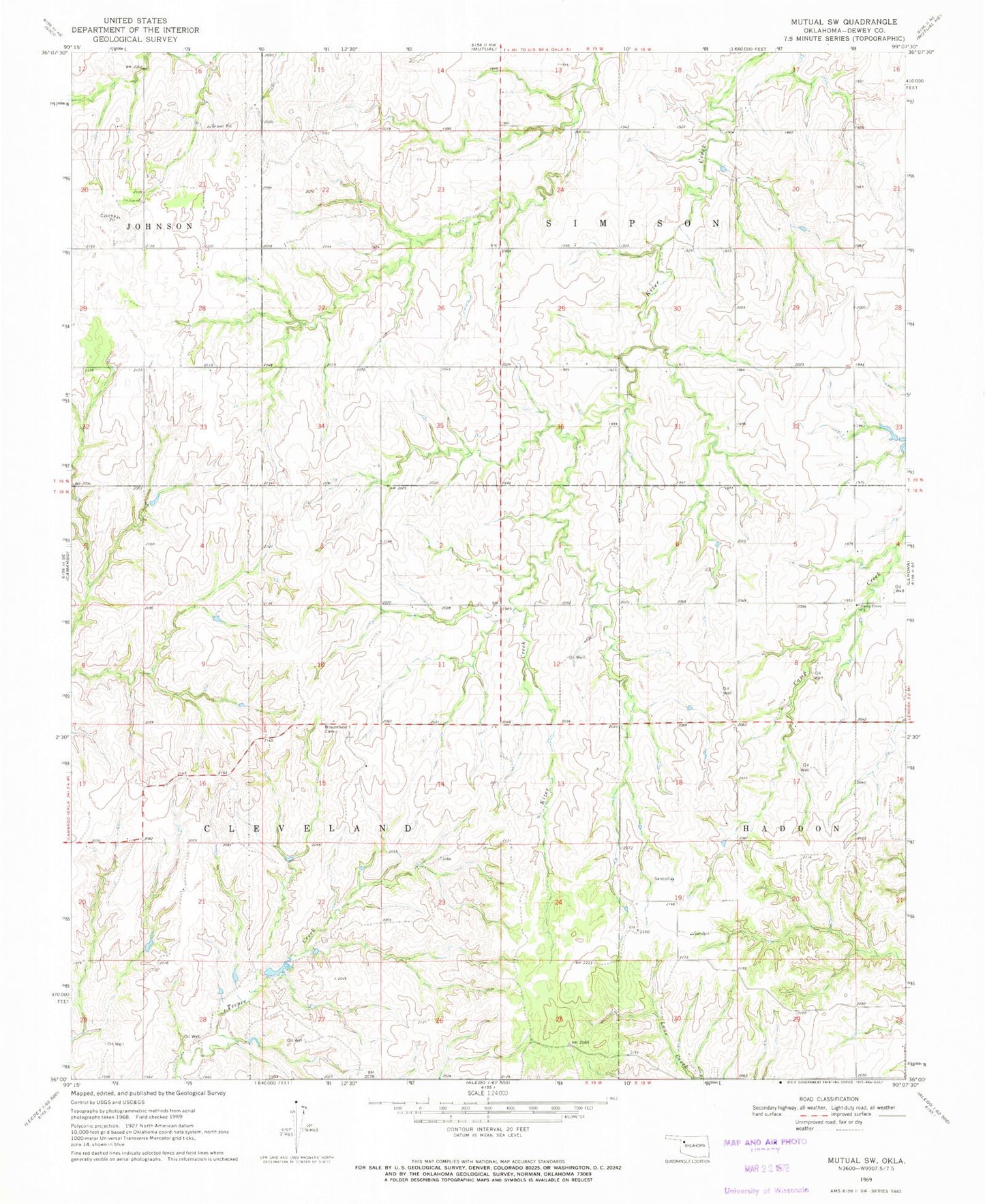
Classic USGS Mutual SW Oklahoma 7.5'x7.5' Topo Map
Couldn't load pickup availability
Historical USGS topographic quad map of Mutual SW in the state of Oklahoma. Map scale may vary for some years, but is generally around 1:24,000. Print size is approximately 24" x 27"
This quadrangle is in the following counties: Dewey.
The map contains contour lines, roads, rivers, towns, and lakes. Printed on high-quality waterproof paper with UV fade-resistant inks, and shipped rolled.
Contains the following named places: Barnes Number 3 Dam, Barnes Number 3 Reservoir, Bloomfield Cemetery, Bryant Number 6 Dam, Bryant Number 6 Reservoir, Camp Creek Church, Mercer Number 5 Dam, Mercer Number 5 Reservoir, Oknoname 043002 Dam, Oknoname 043002 Reservoir, Township of Simpson, Union View Cemetery, Vici Division