MyTopo
Classic USGS Myakka River Florida 7.5'x7.5' Topo Map
Couldn't load pickup availability
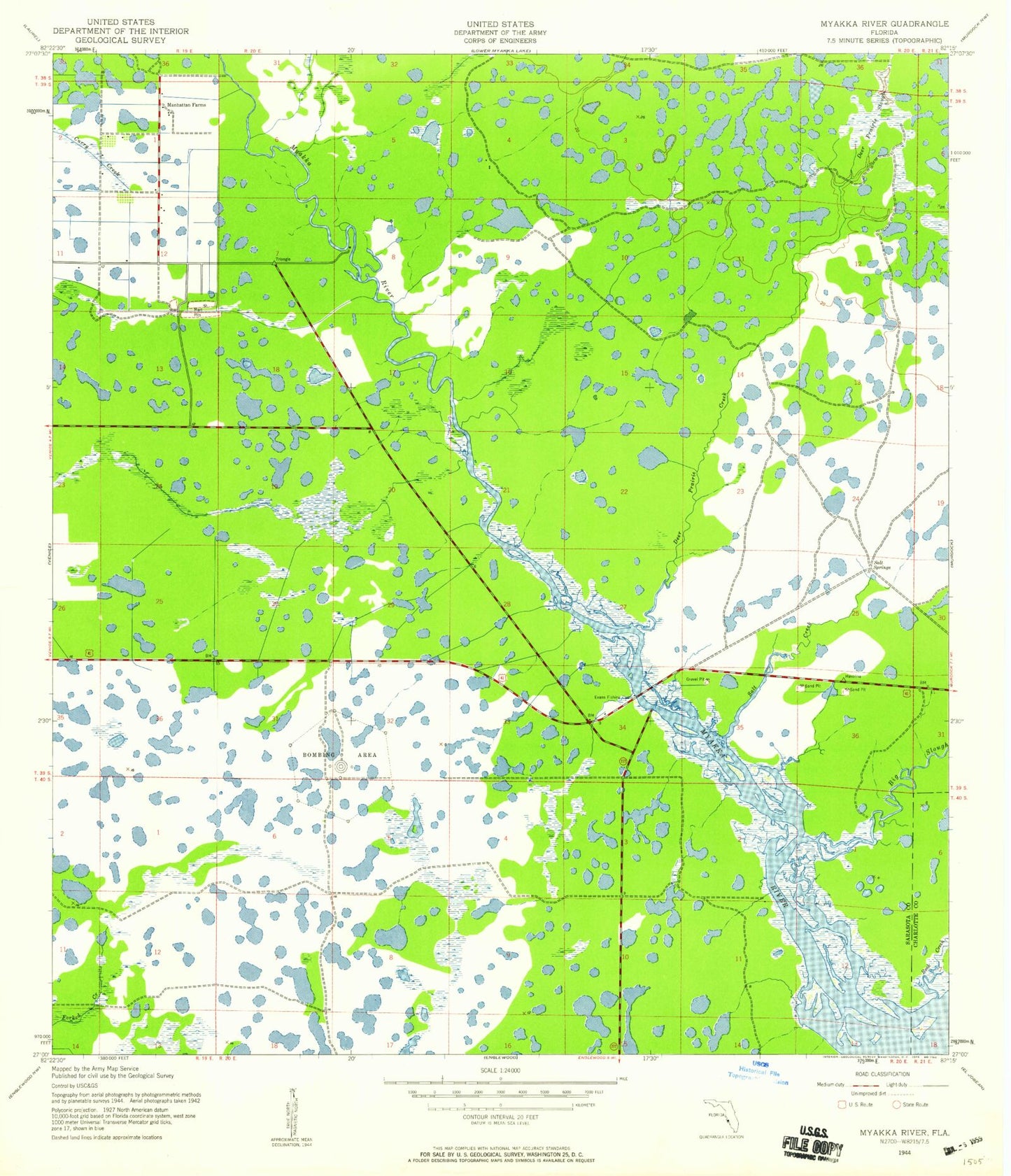
Historical USGS topographic quad map of Myakka River in the state of Florida. Map scale may vary for some years, but is generally around 1:24,000. Print size is approximately 24" x 27"
This quadrangle is in the following counties: Charlotte, Sarasota.
The map contains contour lines, roads, rivers, towns, and lakes. Printed on high-quality waterproof paper with UV fade-resistant inks, and shipped rolled.
Contains the following named places: Big Slough, Deer Prairie Creek, Deer Prairie Slough, Manhattan Farms, North Port Post Office, Plantation, Plantation Census Designated Place, Rock Creek, Sarasota County Fire Department Station 26, Tarpon Point, Venice Middle School, Warm Mineral Springs, Warm Mineral Springs Census Designated Place, WBSV-TV (Venice), ZIP Codes: 34292, 34293