MyTopo
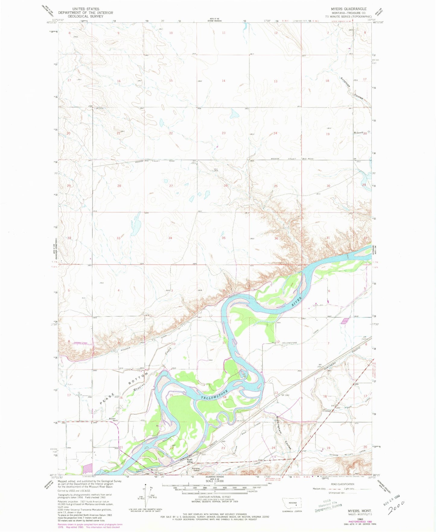
Classic USGS Myers Montana 7.5'x7.5' Topo Map
Couldn't load pickup availability
Historical USGS topographic quad map of Myers in the state of Montana. Map scale may vary for some years, but is generally around 1:24,000. Print size is approximately 24" x 27"
This quadrangle is in the following counties: Treasure.
The map contains contour lines, roads, rivers, towns, and lakes. Printed on high-quality waterproof paper with UV fade-resistant inks, and shipped rolled.
Contains the following named places: 06N35E03C___01 Well, 06N35E05DAC_01 Well, 06N36E07AD__01 Well, Buckingham Coulee, Buckingham Coulee Bridge, Cozy Nook School, Decock Number 3 Dam, Howrey Island, Hysham Re-Lift Canal, Lake View School, Muggins Creek, Myers, Myers Bridge, Myers Bridge Fishing Access Site, Myers Post Office, Myers Siding, Rancher Church, Rancher School, Riverside School