MyTopo
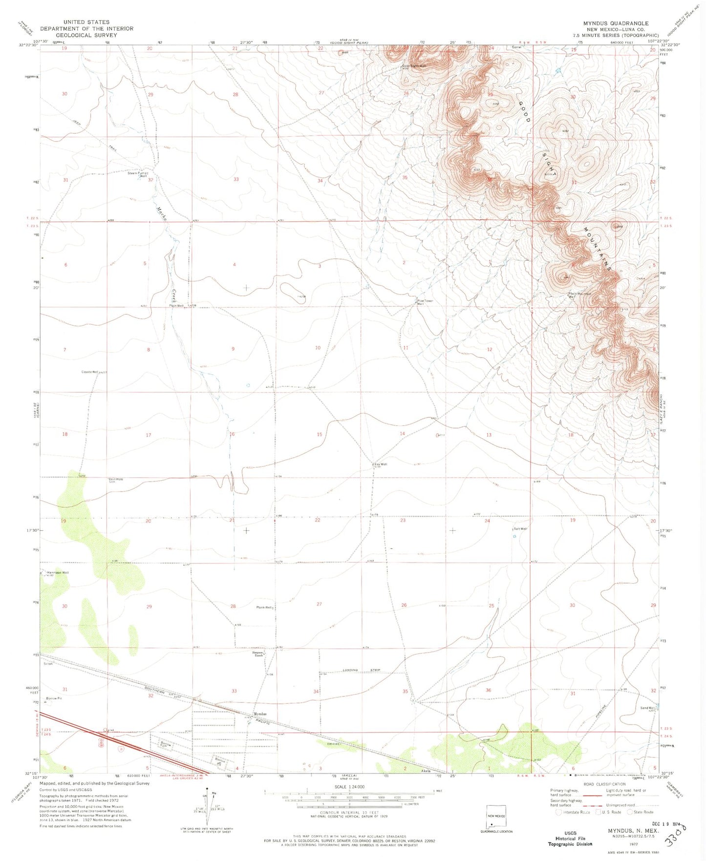
Classic USGS Myndus New Mexico 7.5'x7.5' Topo Map
Couldn't load pickup availability
Historical USGS topographic quad map of Myndus in the state of New Mexico. Map scale may vary for some years, but is generally around 1:24,000. Print size is approximately 24" x 27"
This quadrangle is in the following counties: Luna.
The map contains contour lines, roads, rivers, towns, and lakes. Printed on high-quality waterproof paper with UV fade-resistant inks, and shipped rolled.
Contains the following named places: 01582 Water Well, 01588 Water Well, 01593 Water Well, 01594 Water Well, 01595 Water Well, 01596 Water Well, 01597 Water Well, 01599 Water Well, 01601 Water Well, 01602 Water Well, 01603 Water Well, 06112 Water Well, 06113 Water Well, 06114 Water Well, 06115 Water Well, Coyote Well, Fox Well, Good Sight Well, Lewis Flats, Macho Creek, Myndus, Myndus Post Office, Number 1210 Water Well, Pipe Tower Well, Plain Mountain Well, Plain Well, Plank Well, Salt Well, Sand Well, Simpson Ranch, Solo Ranch Airport, Steam Pump Well