MyTopo
Classic USGS Myoma California 7.5'x7.5' Topo Map
Couldn't load pickup availability
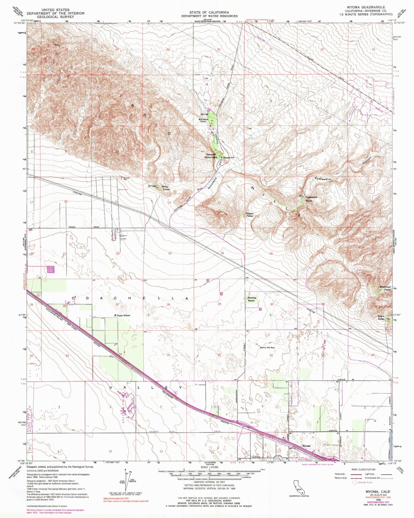
Historical USGS topographic quad map of Myoma in the state of California. Map scale may vary for some years, but is generally around 1:24,000. Print size is approximately 24" x 27"
This quadrangle is in the following counties: Riverside.
The map contains contour lines, roads, rivers, towns, and lakes. Printed on high-quality waterproof paper with UV fade-resistant inks, and shipped rolled.
Contains the following named places: Avondale Country Club, Bar Bell Ranch, Biskra Palms, California Highway Patrol Border Division - Indio, Chase School, Chuckwalla Ranch, Coachella Valley Fringe-Toed Lizard Preserve, Coachella Valley National Wildlife Refuge, Desert Christian Academy, Desert Falls Country Club, Desert Palms Census Designated Place, Dry Camp, Emerald Desert Country Club, Fleming Ranch, Fun Valley, Hidden Horseshoe and Pushawalla Palms Trail, Hidden Palms, Hunter Palms Ranch, Indian Hills Palms Park, Indian Palms Trail, Indian Ridge Country Club, Indio Hills, Ivey Ranch Country Club, Macomber Palms, McCallum Grove, McCallum Trail, Myoma, Palm Desert Resort and Country Club, Palm Valley Country Club, Pushawalla Canyon, Pushawalla Palms, Riverside County Fire Department Station 71 North Palm Desert, Riverside County Fire Department Station 80 Indio, Riverside County Fire Department Station 81 North Bermuda Dunes, Shadow Ridge Creek, Smoke Tree Ranch Trail, Squaw Hill, The Lakes Country Club, Thousand Palms Canyon, Thousand Palms Census Designated Place, Thousand Palms Dry Camp Siding, Thousand Palms Oasis, Wash Trail, Willis Palms, Willis Palms and West Mesa Trail, ZIP Codes: 92211, 92241, 92276


