MyTopo
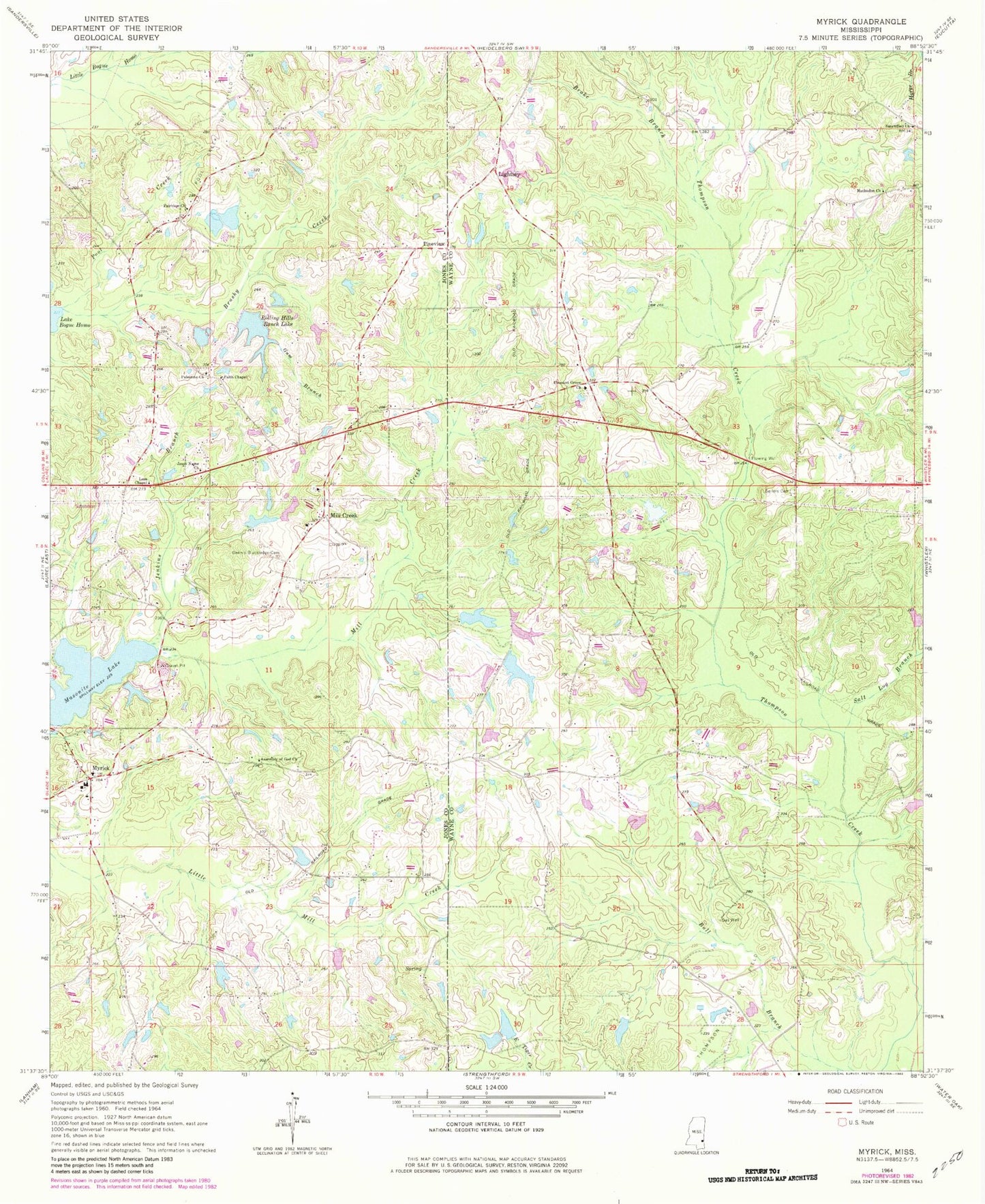
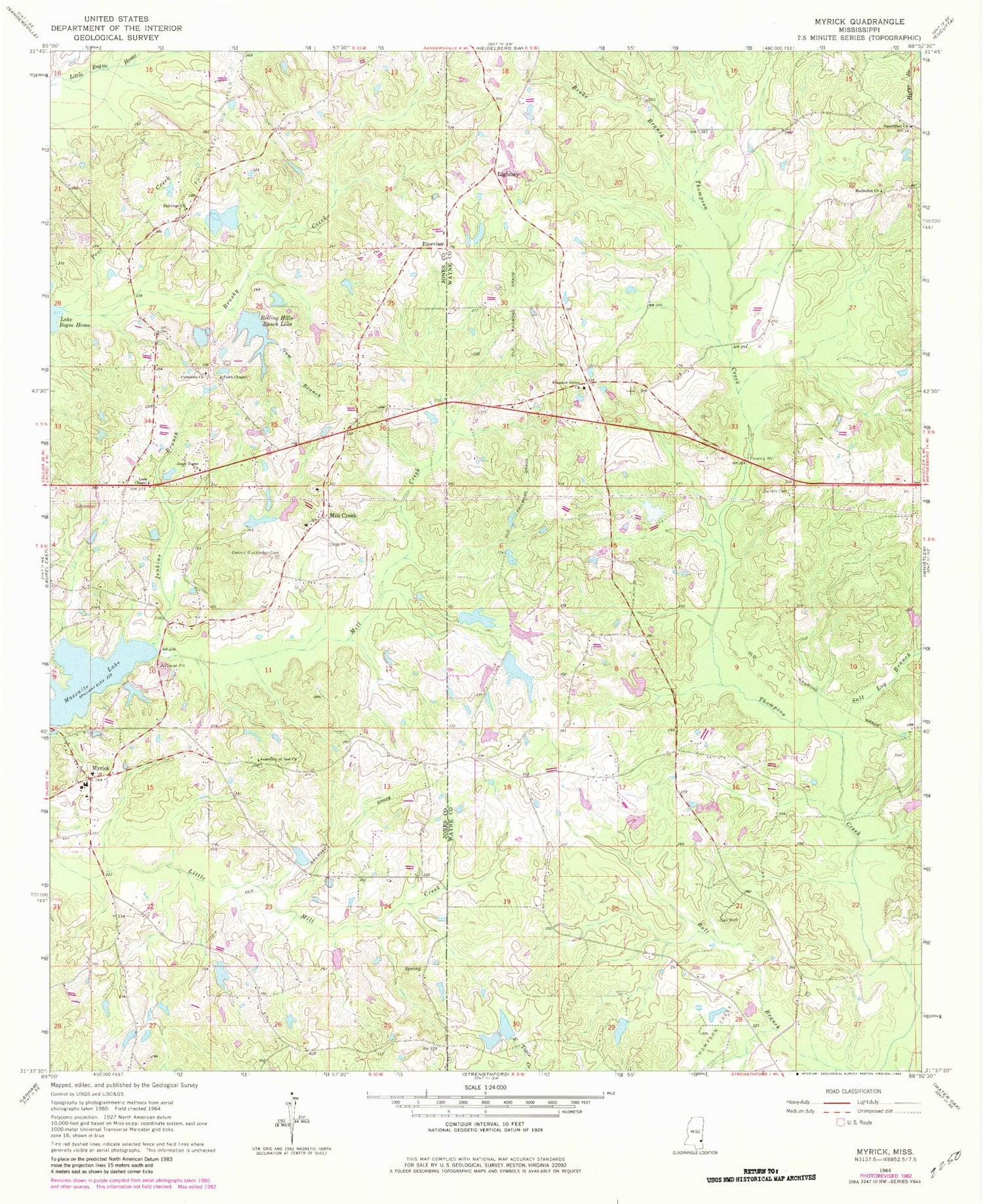
Classic USGS Myrick Mississippi 7.5'x7.5' Topo Map
Couldn't load pickup availability
Historical USGS topographic quad map of Myrick in the state of Mississippi. Map scale may vary for some years, but is generally around 1:24,000. Print size is approximately 24" x 27"
This quadrangle is in the following counties: Jones, Wayne.
The map contains contour lines, roads, rivers, towns, and lakes. Printed on high-quality waterproof paper with UV fade-resistant inks, and shipped rolled.
Contains the following named places: Bankston Pond Dam, Brake Branch, Brushy Creek, Dennis Blackledge Cemetery, Fairview Church, Faith Chapel, Garland Lewis Lake Dam, Gum Branch, Hammonds Lake Dam, Hammonds Pond Dam, Holifield Store, Huddleston Chapel, J M Williams Pond Dam, Jenkins Branch, Jesus Name Church, Lees Chapel, Lightsey, Lindsey Ponds Dam, M and M Volunteer Fire Department, Masonite Lake, Methodist Church, Mill Creek, Mill Creek Cemetery, Mill Creek Church of God, Mill Creek Methodist Church, Mill Creek School, Myrick, Myrick Baptist Church, Myrick Cemetery, Myrick Elementary School, Overstreet Lake Dam, Palestine Church, Pineview, Pleasant Grove, Pleasant Grove Baptist Church, Pleasant Grove Cemetery, Pool Creek, Pool Creek Oil Field, Pryor Pond Dam, Rolling Hills Ranch Lake, Rustin School, Rustin Volunteer Fire Department, Salt Log Branch, Sanctified Church, Sellers Cemetery, Suttle Fish Farm, Taylor Pond Dam, Thompson Creek Oil Field, Wausau Oil Field, Wayne County Volunteer Fire Department Pleasant Grove Station


