MyTopo
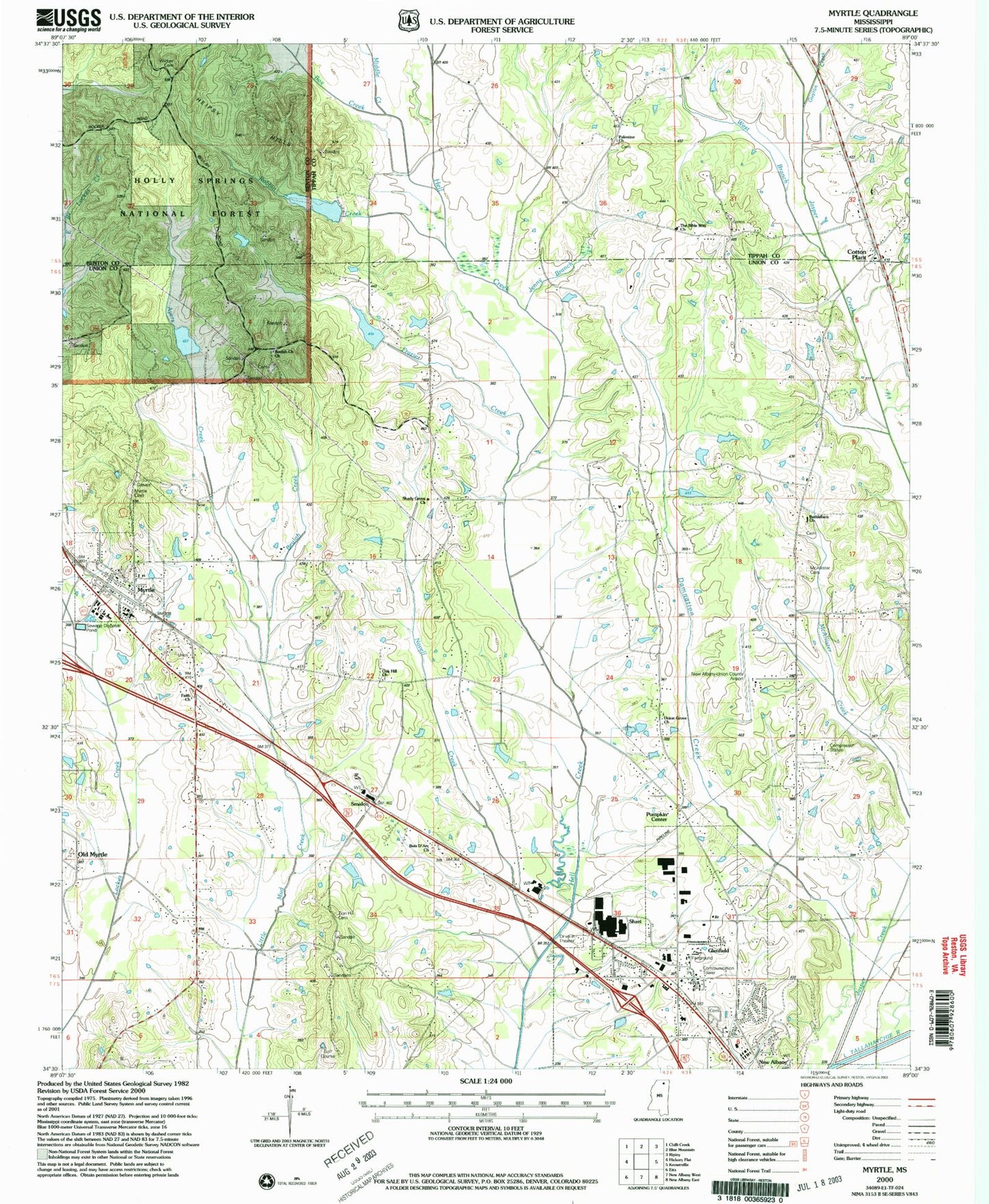
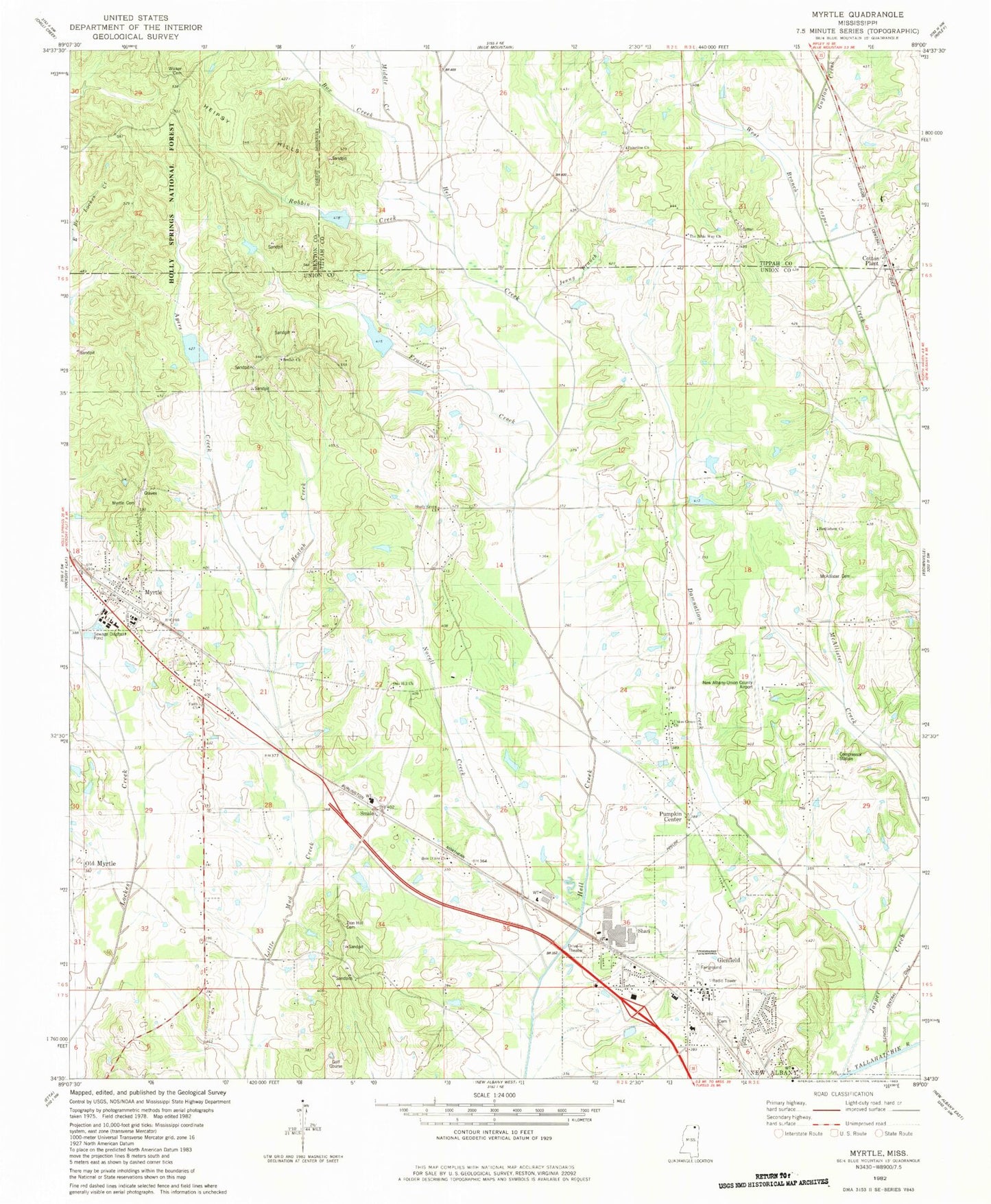
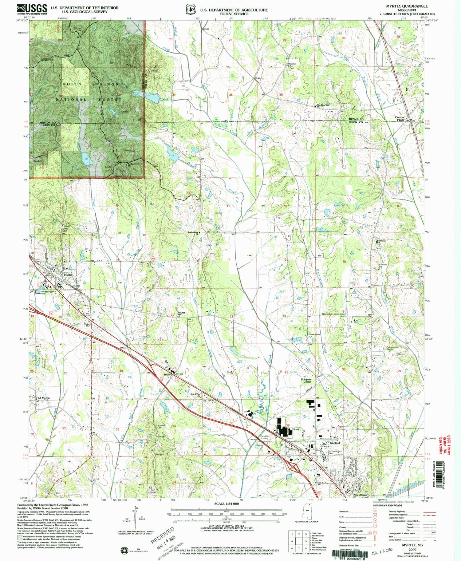
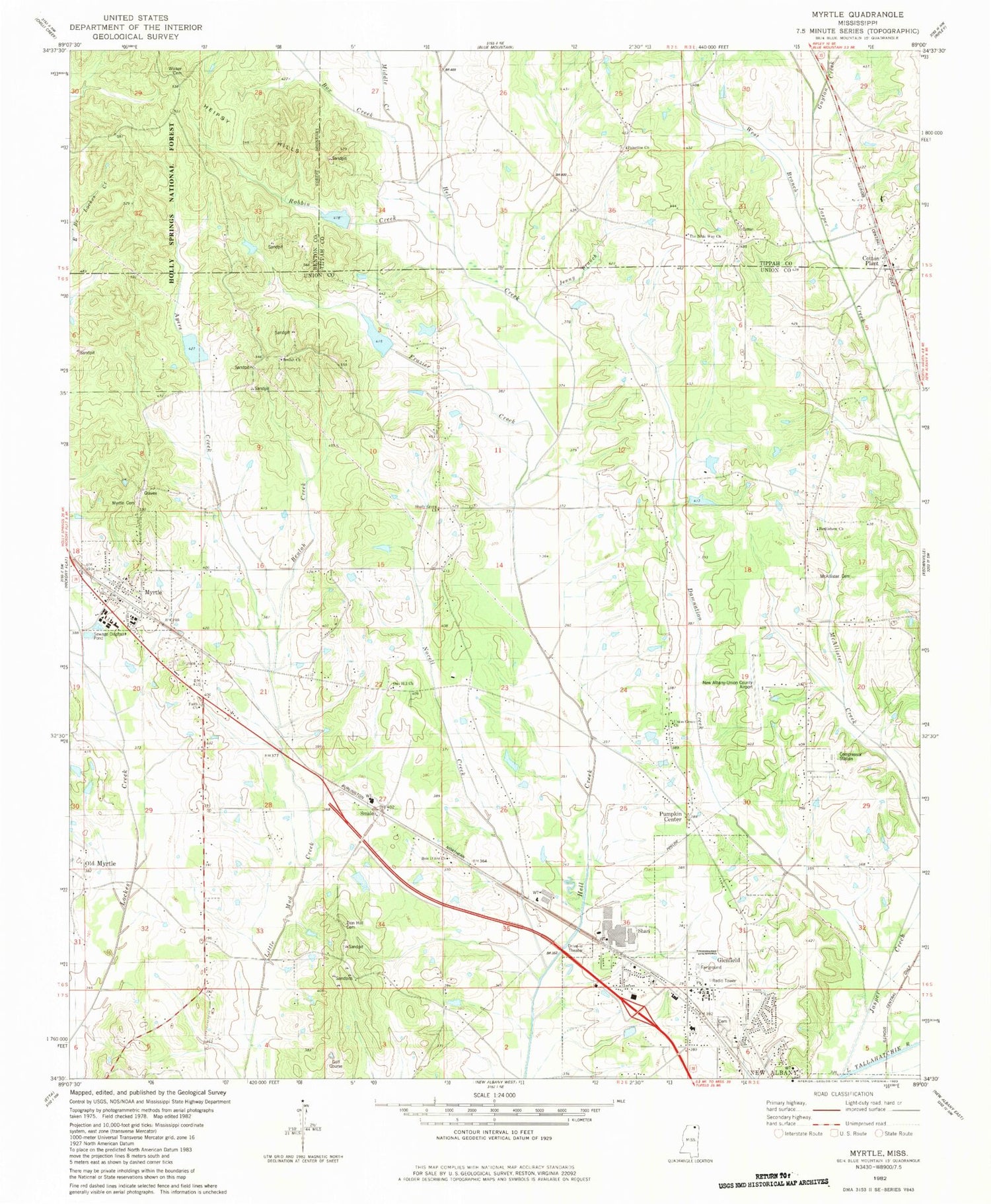
Classic USGS Myrtle Mississippi 7.5'x7.5' Topo Map
Couldn't load pickup availability
Historical USGS topographic quad map of Myrtle in the state of Mississippi. Map scale may vary for some years, but is generally around 1:24,000. Print size is approximately 24" x 27"
This quadrangle is in the following counties: Benton, Tippah, Union.
The map contains contour lines, roads, rivers, towns, and lakes. Printed on high-quality waterproof paper with UV fade-resistant inks, and shipped rolled.
Contains the following named places: Alberson, Ayers Creek, Ayers Lake, Ayers Watershed UT-4-1 Dam, Bagwell Lake Dam, Bethlehem Cemetery, Bethlehem Church, Beulah, Beulah Cemetery, Beulah Church, Beulah Creek, Bois D'Arc Church, Box Creek, Collins, Cotton Plant, Craig Lake, Damnation Creek, Faith Church, Frazier Creek, Glenfield, Glenfield Baptist Church, Glenfield Memorial Park, Graham Chapel, Guyton Cemetery, Guyton Creek, Heipsy Hills, Hell Creek Structure LT-9b-2 Dam, Hell Creek Watershed LT-9b-3 Dam, Jack Dowdy Pond Dam, Jasper Creek, Jenny Branch, Leconte, McAllister Cemetery, Middle Creek, Myrtle, Myrtle Cemetery, Myrtle Post Office, Myrtle School, Myrtle Volunteer Fire Department, New Albany Fire Department Station 2, New Albany-Union County Airport, Novell Creek, Oak Hill Church, Old Myrtle, Palestine Church, Piney Grove Church, Pumpkin Center, Robbin Creek, Roberts Lake Dam, Shady Grove Church, Shari, Smalco, Town of Myrtle, Union Grove Church, Union Grove School, Victory Church of the Lord Jesus Christ, West Branch Jasper Creek, Wicker Cemetery, Wicker Lake Dam, Zion Hill Cemetery


