MyTopo
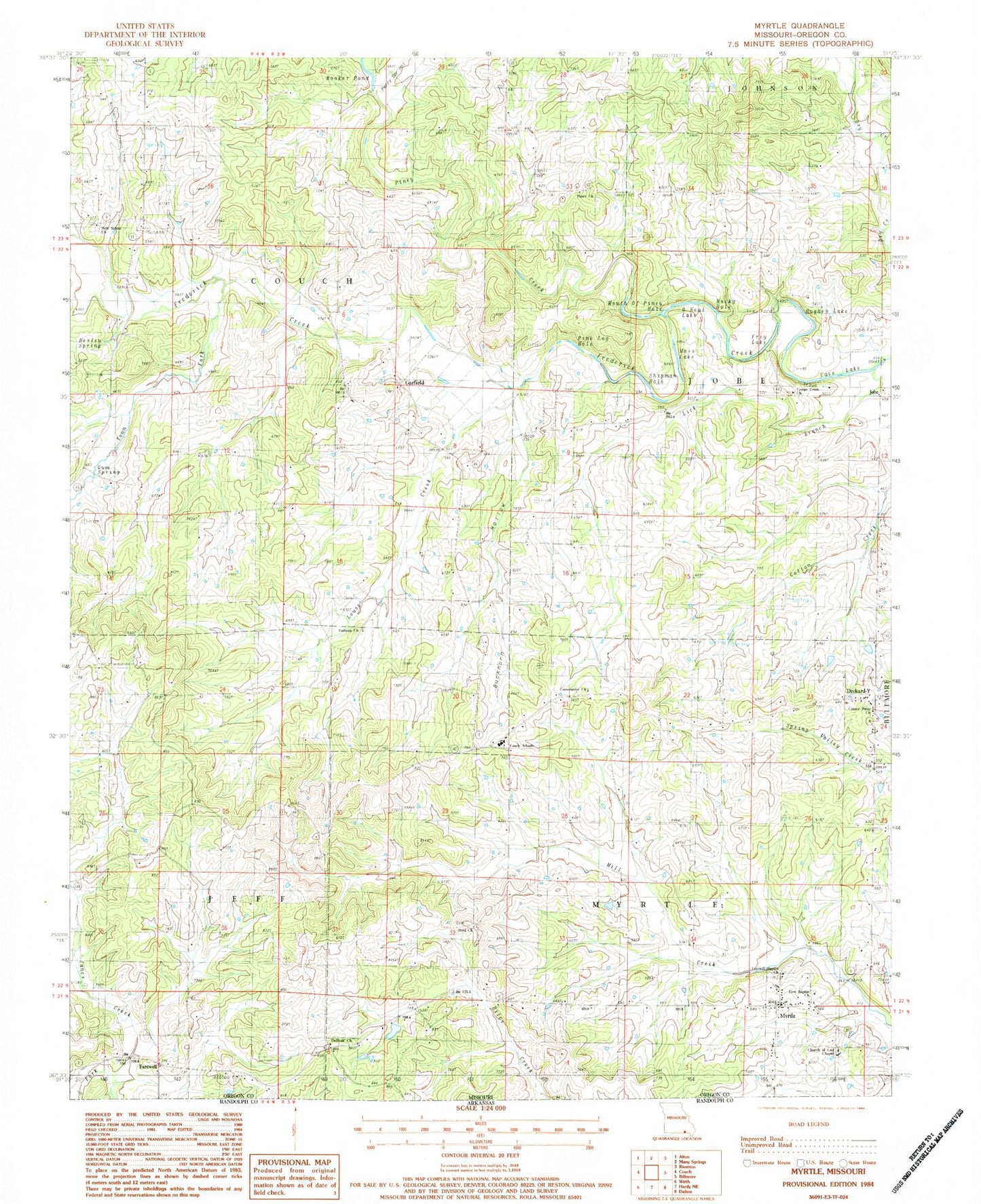
Classic USGS Myrtle Missouri 7.5'x7.5' Topo Map
Couldn't load pickup availability
Historical USGS topographic quad map of Myrtle in the state of Missouri. Map scale may vary for some years, but is generally around 1:24,000. Print size is approximately 24" x 27"
This quadrangle is in the following counties: Oregon.
The map contains contour lines, roads, rivers, towns, and lakes. Printed on high-quality waterproof paper with UV fade-resistant inks, and shipped rolled.
Contains the following named places: Bee Fork, Bird School, Booker Pond, Buckhorn Branch, Buckhorn Hollow, Byrd Cemetery, Byrd Church, Cave Lake, Center Point Church, Church of God Chapel, Community Church, Cotton Creek Cemetery, Cotton Creek Church, Cotton Creek School, Couch Schools, Deckard-Y, Dellhalf Church, Elmer Shaw Junior Lake, Farewell, First Baptist Church, Freewill Baptist Church, Frey Ford, Frey Lake, Garfield, Garfield Church, Garfield School, Guiteau, Guiteau Church, Guiteau School, Gum Spring, Hesley Spring, Hughes Lake, Jobe, Jobe Cemetery, Lick Branch, Louse Creek, Moss Lake, Mouth of Piney Hole, Myrtle, Myrtle Post Office, Myrtle Volunteer Fire Department, New Salem Cemetery, New Salem Church, New Salem School, O'Neal Lake, Perry Spring Hollow, Pine Log Hole, Piney Church, Piney Creek, Piney School, Pleasant Grove School, Rocky Hole, S Jones Lake, S Jones Lake Dam, Shaw Lake Dam, Shipman Hole, Town Fork, Township of Jobe, Township of Myrtle, ZIP Codes: 65690, 65778


