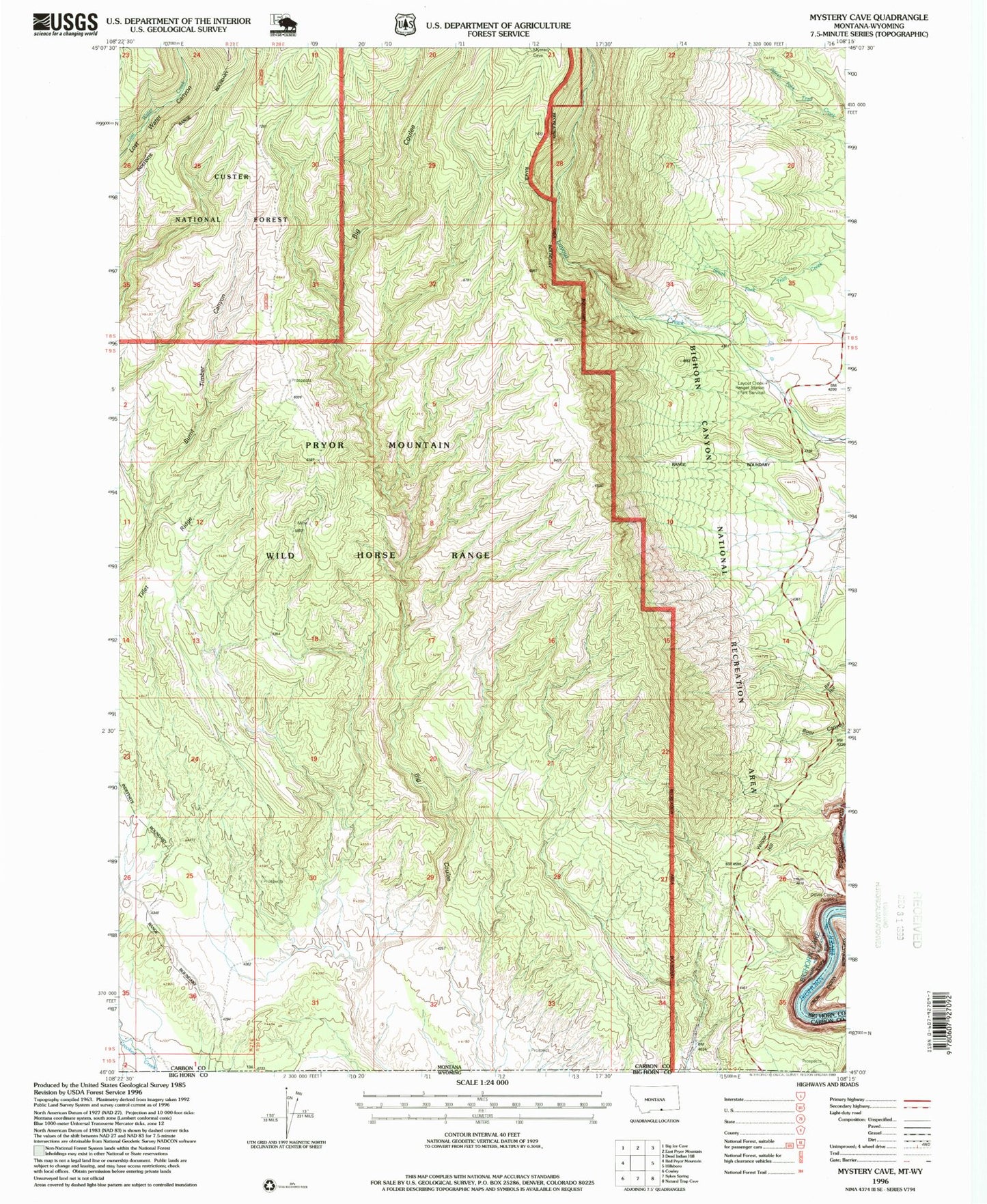
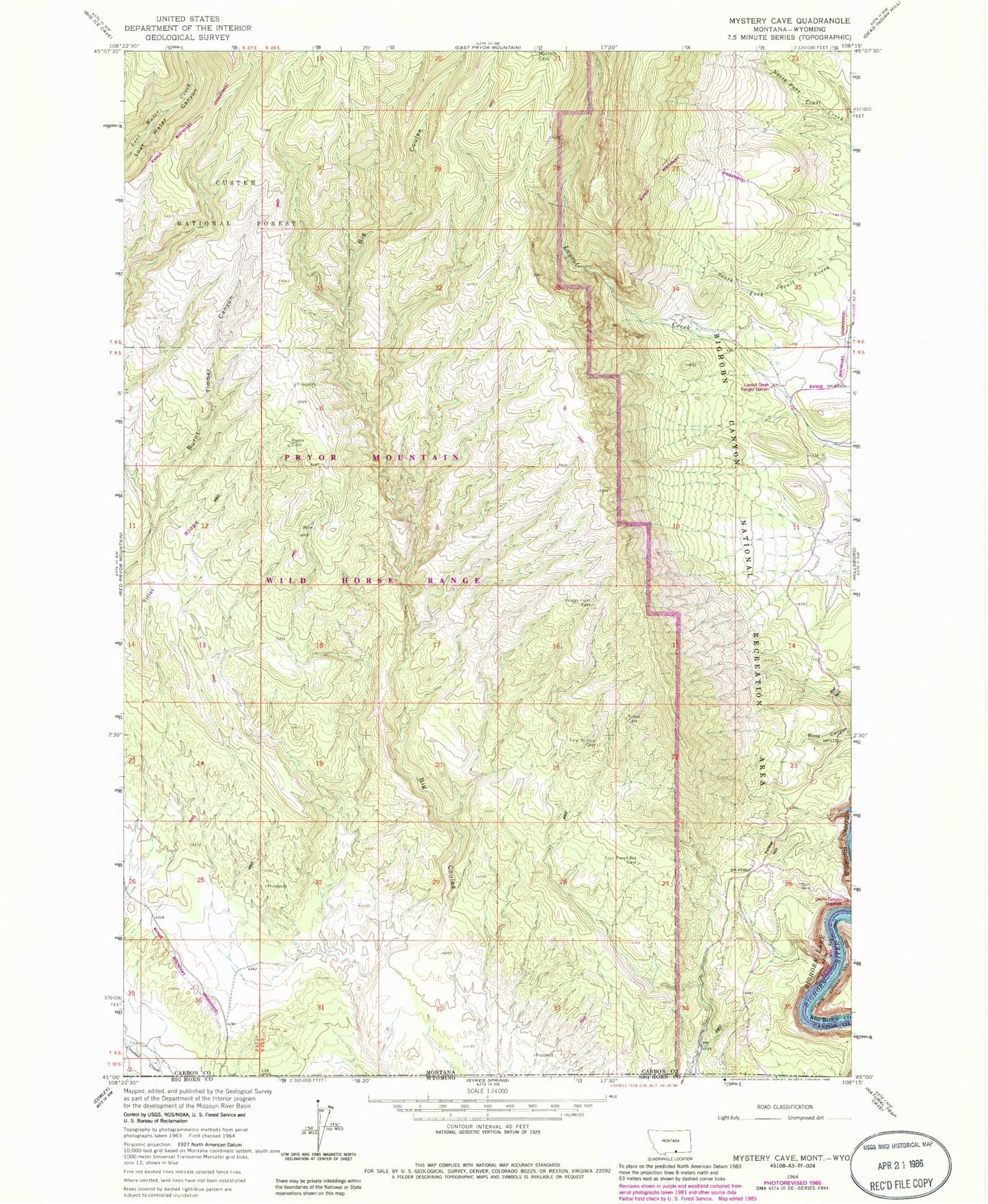
MyTopo
Classic USGS Mystery Cave Montana 7.5'x7.5' Topo Map
Regular price
$16.95
Regular price
Sale price
$16.95
Unit price
per
Couldn't load pickup availability
Historical USGS topographic quad map of Mystery Cave in the state of Montana. Map scale may vary for some years, but is generally around 1:24,000. Print size is approximately 24" x 27"
This quadrangle is in the following counties: Big Horn, Carbon.
The map contains contour lines, roads, rivers, towns, and lakes. Printed on high-quality waterproof paper with UV fade-resistant inks, and shipped rolled.
Contains the following named places: Bar Hill, Devils Canyon Overlook, Ewing Post Office, Layout Creek Ranger Station, Pryor Mountain Wild Horse Range, Tillet Ridge, Wild Horse Mine, Yellow Hill