MyTopo
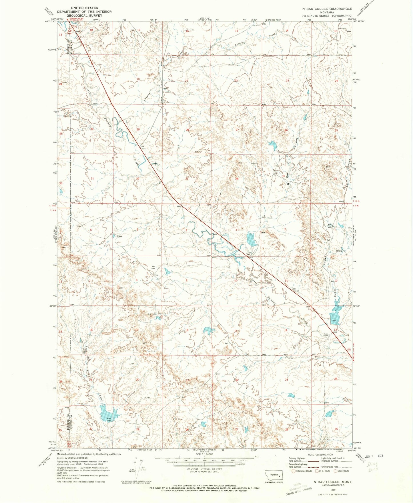
Classic USGS N Bar Coulee Montana 7.5'x7.5' Topo Map
Couldn't load pickup availability
Historical USGS topographic quad map of N Bar Coulee in the state of Montana. Map scale may vary for some years, but is generally around 1:24,000. Print size is approximately 24" x 27"
This quadrangle is in the following counties: Custer, Rosebud.
The map contains contour lines, roads, rivers, towns, and lakes. Printed on high-quality waterproof paper with UV fade-resistant inks, and shipped rolled.
Contains the following named places: 10N45E28BBBA01 Well, 10N45E28BBBA02 Well, 10N45E28BBBB01 Well, Alkali Creek, Brewer Number 2 Dam, Grimes Creek, Harding Number 1 Dam, Harding Number 2 Dam, N Bar Coulee, Owens Coulee, Stone Shack, Stone Shack Post Office, Venn Number 1 Dam, Venn Number 4 Dam, Venn Number 7 Dam, Venn Number 8 Dam, Venn Number 9 Dam, Venn Ranch