MyTopo
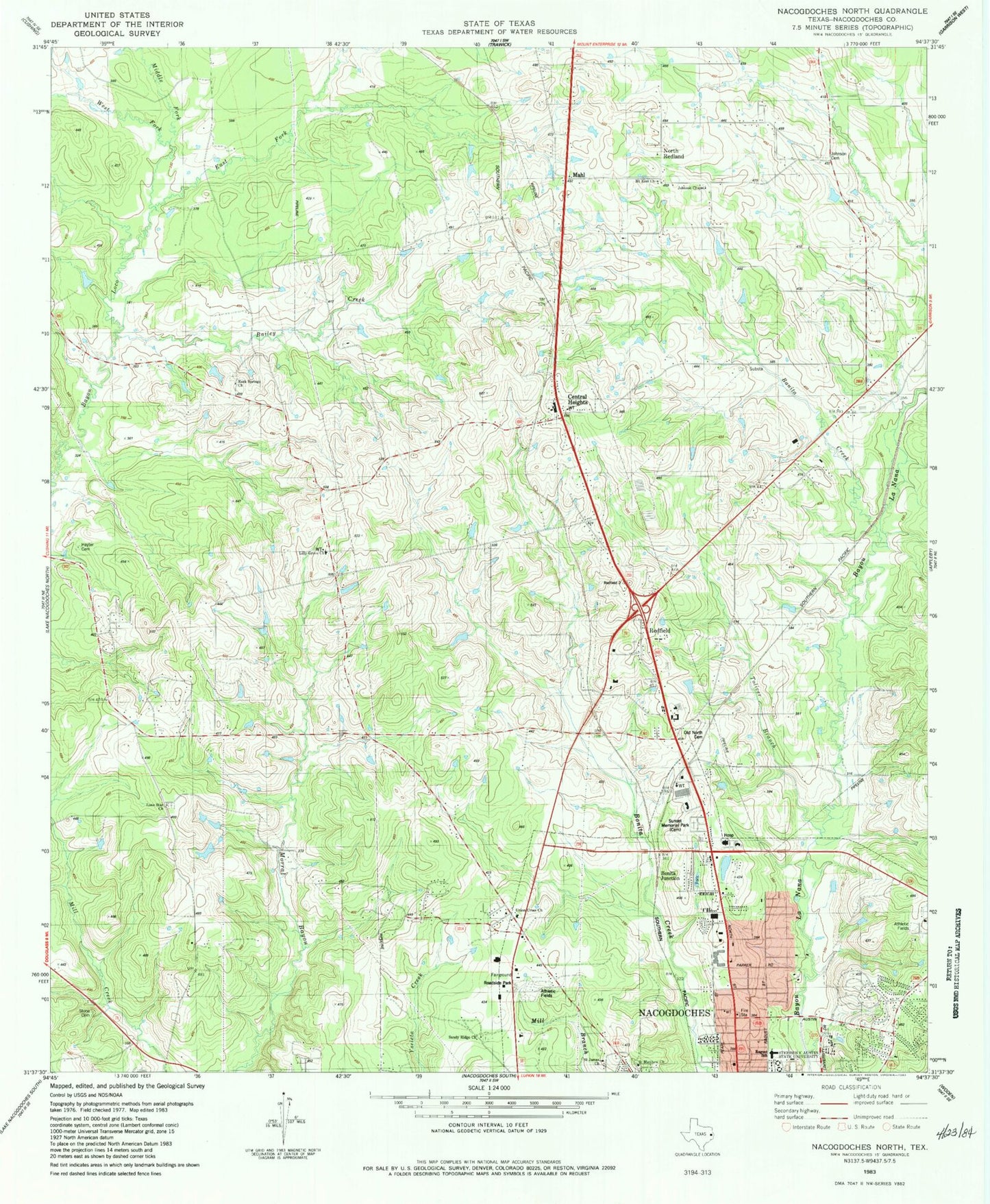
Classic USGS Nacogdoches North Texas 7.5'x7.5' Topo Map
Couldn't load pickup availability
Historical USGS topographic quad map of Nacogdoches North in the state of Texas. Map scale may vary for some years, but is generally around 1:24,000. Print size is approximately 24" x 27"
This quadrangle is in the following counties: Nacogdoches.
The map contains contour lines, roads, rivers, towns, and lakes. Printed on high-quality waterproof paper with UV fade-resistant inks, and shipped rolled.
Contains the following named places: Bailey Creek, Banita Creek, Bonita Creek, Bonita Junction, Central Heights, Central Heights Elementary School, Central Heights School, Dragon Stadium, Earnest L Johnson Dam, Earnest L Johnson Lake, East Fork Bayou Loco, Hayter Cemetery, Homer Bryce Stadium, Jerry W Allen Dam, Jerry W Allen Lake, Johnson Cemetery, Johnson Chapel, KSAU-FM (Nacogdoches), KTBQ-FM (Nacogdoches), Lily Grove Church, Lone Star Church, Mahl, Middle Fork Bayou Loco, Millards Crossing, Mount Zion Church, Nacogdoches County Constable's Office Precinct 1, Nacogdoches County Emergency Medical Service, Nacogdoches Fire Department Station 1, Nacogdoches Medical Center, Nacogdoches Post Office, Nacogdoches Springs, North Redland, Old North Cemetery, Old North Church, Raguet Elementary School, Redfield, Redfield Census Designated Place, Redfield Station, Robert W Murphey Dam, Robert W Murphey Lake, Rock Springs Church, Saint James Church, Saint Matthew Church, Sandy Ridge Church, Stephen F Austin University Intramural Fields, Stone Cemetery, Sunset Cemetery, Texas Forest Service Nacogdoches Office, Toliver Branch, Union Cross Church, William R Johnson Coliseum, ZIP Codes: 75964, 75965


