MyTopo
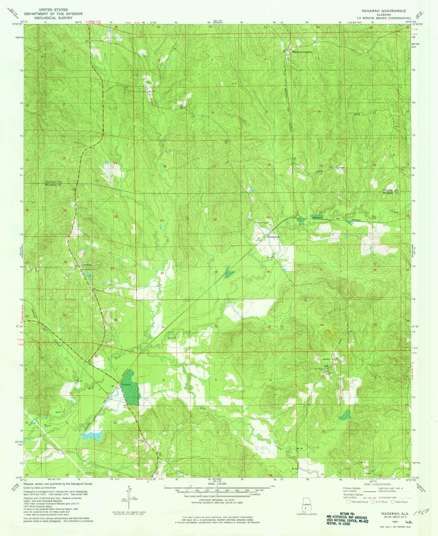
Classic USGS Nadawah Alabama 7.5'x7.5' Topo Map
Couldn't load pickup availability
Historical USGS topographic quad map of Nadawah in the state of Alabama. Map scale may vary for some years, but is generally around 1:24,000. Print size is approximately 24" x 27"
This quadrangle is in the following counties: Monroe, Wilcox.
The map contains contour lines, roads, rivers, towns, and lakes. Printed on high-quality waterproof paper with UV fade-resistant inks, and shipped rolled.
Contains the following named places: Barnes Church, Buena Vista, Camden Junction, Chase Store, Chestnut, Corduroy, Dailey Creek, Flat Creek, Galley Creek, Indian Springs School, Mount Sinai Church, Nadawah, New Hope Church, Olivers Chapel, Pineview Cemetery, Roberts Creek, Saint Francis Church, Saint Matthew Cemetery, Saint Matthews Baptist Church, Thompson Landing, Turkestan, Turkestan Cemetery, Watsonville, ZIP Code: 36425