MyTopo
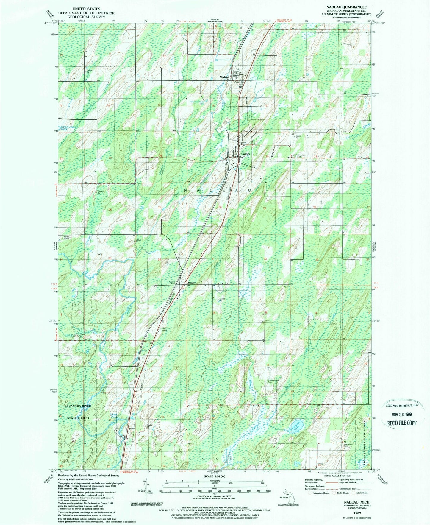
Classic USGS Nadeau Michigan 7.5'x7.5' Topo Map
Couldn't load pickup availability
Historical USGS topographic quad map of Nadeau in the state of Michigan. Map scale may vary for some years, but is generally around 1:24,000. Print size is approximately 24" x 27"
This quadrangle is in the following counties: Menominee.
The map contains contour lines, roads, rivers, towns, and lakes. Printed on high-quality waterproof paper with UV fade-resistant inks, and shipped rolled.
Contains the following named places: Adams Park, Bagley, Bagley Post Office, Bagley Station, Blount Post Office, Boyle Creek, Calvary Cemetery, Carney, Carney Evangelical Free Church, Carney Post Office, Carney Station, Carney Village Cemetery, DeGroote Lake, Holmes Creek, Maple Grove Cemetery, Menominee County, Nadeau, Nadeau Post Office, Nadeau Station, Nadeau Township Fire Department, Oakwood Cemetery, Poterfield Creek, Saint Brunos Catholic Church, Schetter Creek, Snow Creek, Swedish Cemetery, Talbot, Talbot Pond, Talbot Post Office, Talbot Station, Township of Nadeau, Village of Carney, ZIP Codes: 49812, 49863